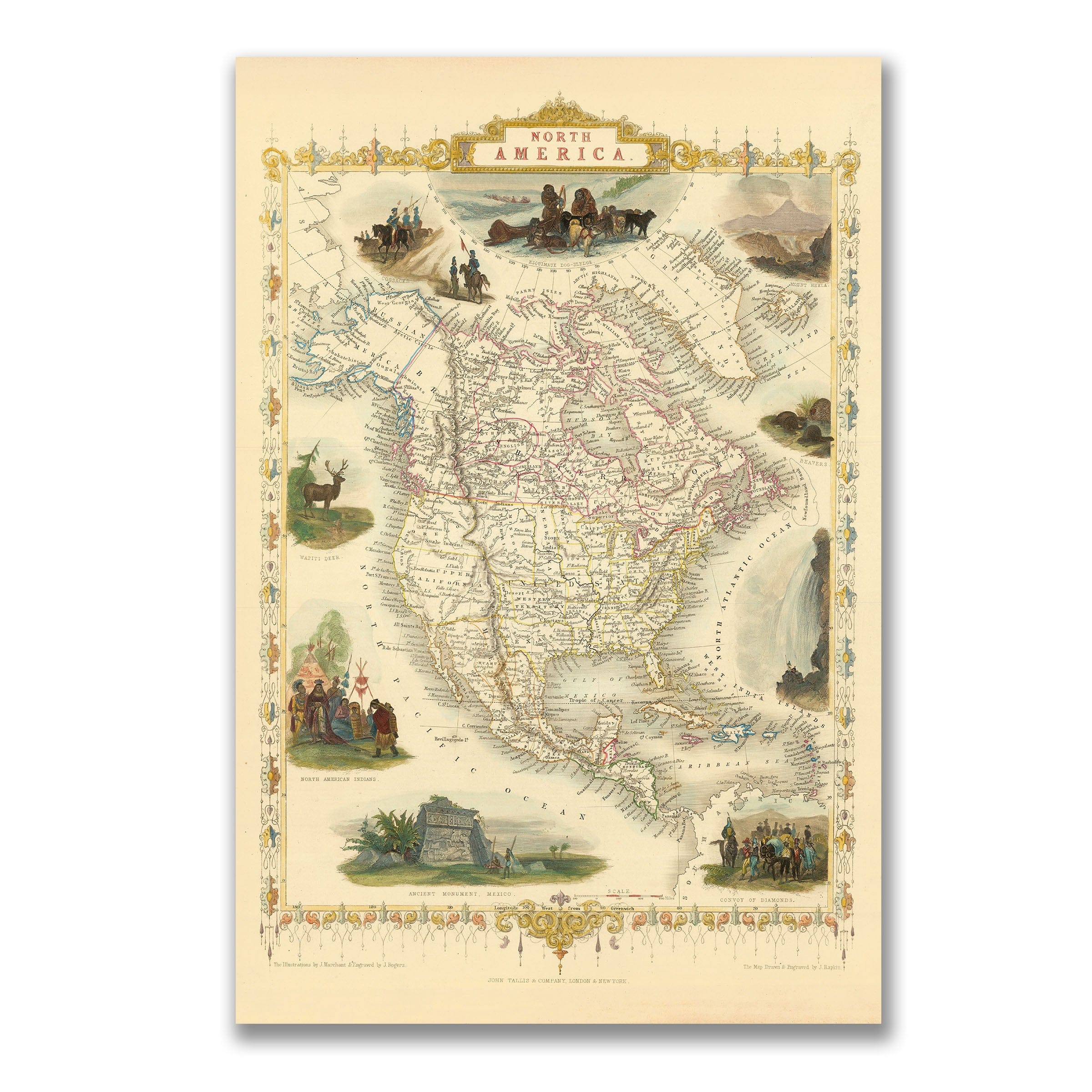
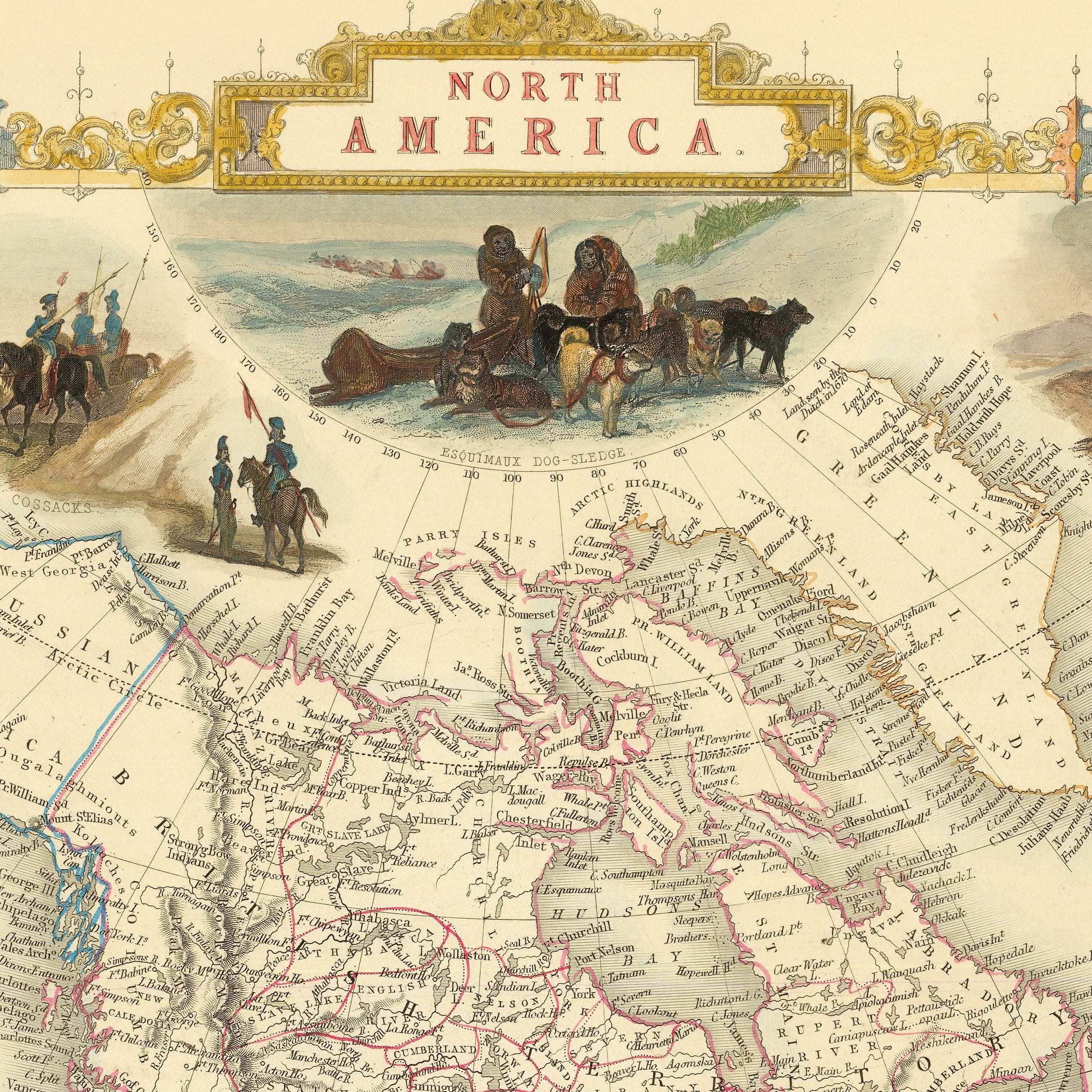
Canada
Vintage & Historic Maps of Canada
Explore the story of Canada through our curated collection of vintage and historic Canadian maps. These carefully restored reproductions showcase the evolving geography of Canada from early exploration to nationhood, capturing provinces, territories, waterways, rail lines, settlements, and trade routes as they once appeared.
Each map reflects a moment in time when borders were still forming and vast regions remained unmapped or only partially understood. From early colonial charts to detailed provincial surveys, these pieces offer a window into how Canada was discovered, documented, and shaped.
Printed with exceptional clarity on museum-quality materials, our Canadian maps are designed for collectors, historians, and anyone who appreciates the quiet beauty of cartographic history. They make striking wall art while preserving the authenticity and character of the original source.
Perfect for:
-
Canadian history enthusiasts and map collectors
-
Home offices, libraries, studies, and living spaces
-
Thoughtful gifts with historical significance
-
Interior designers seeking refined, meaningful wall art
What you’ll find in this collection:
-
Vintage maps of Canada, provinces, and territories
-
Early exploration and colonial-era cartography
-
Historic railway, trade, and settlement maps
-
Faithfully restored reproductions with period detail
-
Multiple size and format options, including poster and canvas
Each map is more than decoration. It is a preserved record of Canada’s past, carefully brought forward for modern display.