


1856 Connecticut Map by Colton - Restored Vintage Wall Art for Home Decor
Connecticut Map
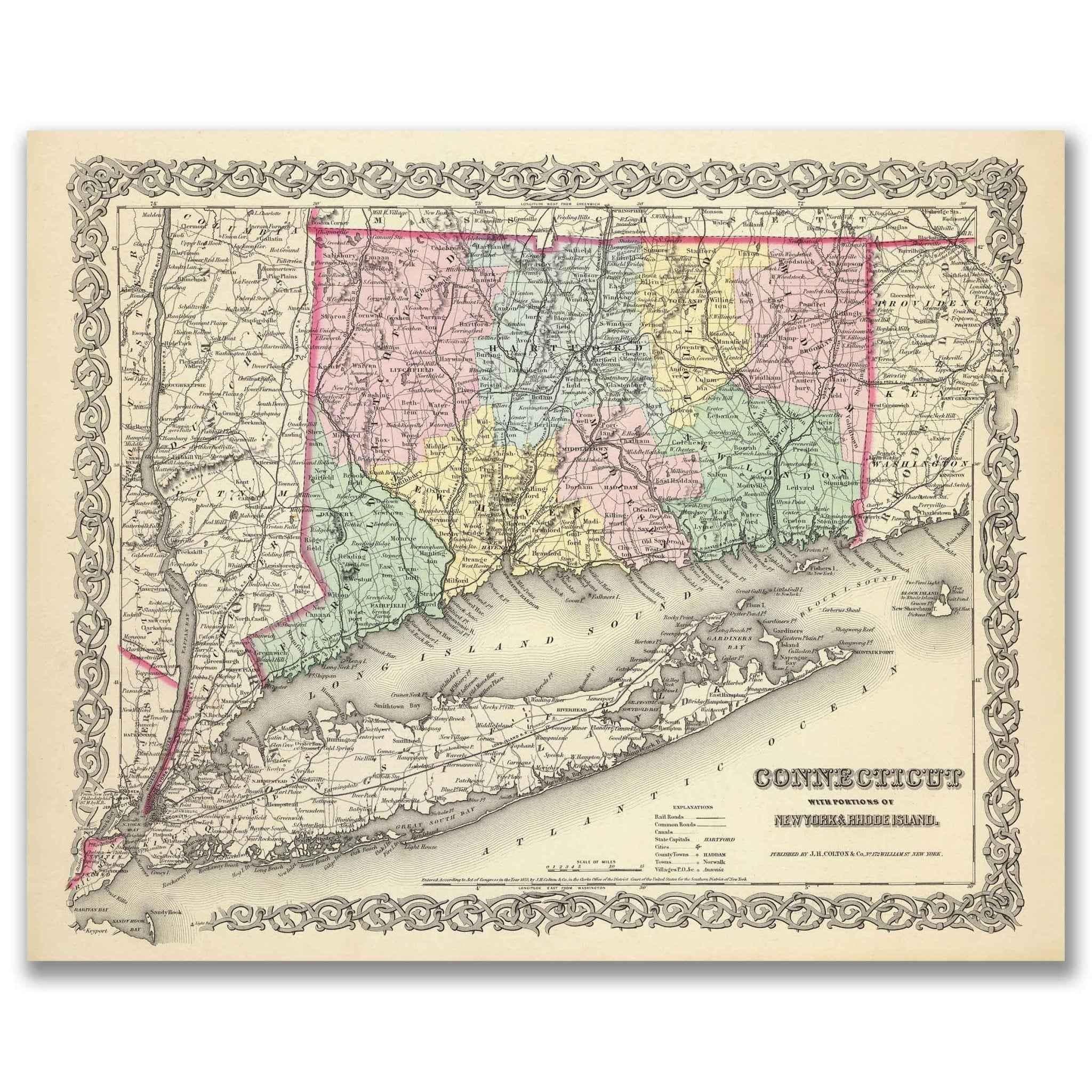
Step back into the mid-19th century Connecticut Map and experience Connecticut as it once was with this beautifully restored 1856 G.W. Colton Map of Connecticut. Originally published by J.H. Colton & Co. as part of Colton’s Atlas of the World, this rare historical map captures the state during an era of progress, industry, and transformation.
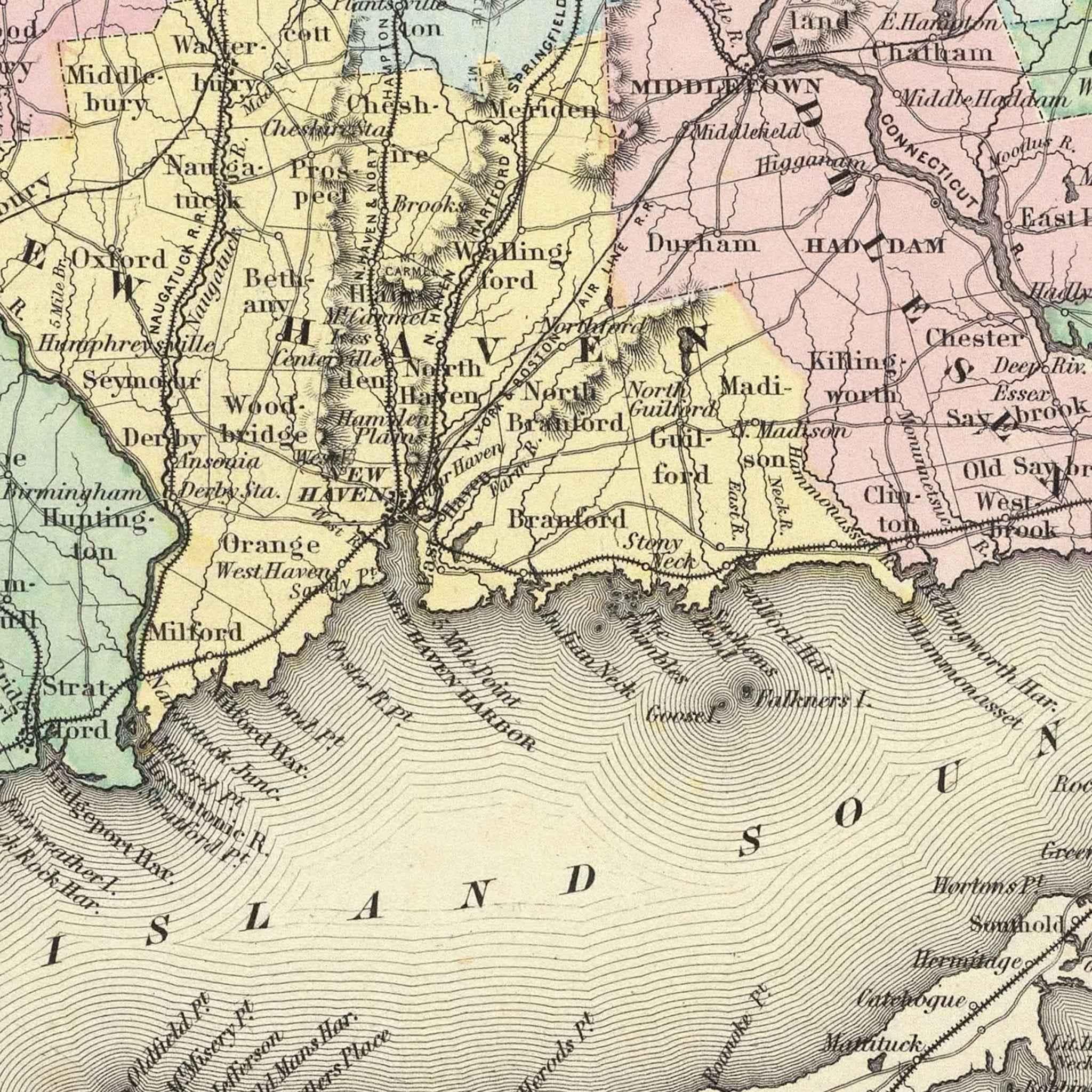
Each reproduction includes a custom historical letter telling the story behind the map, making it the perfect gift for collectors, history enthusiasts, and anyone who appreciates Connecticut’s rich heritage. Printed on heavyweight archival paper or premium polycotton canvas, every line, label, and detail is preserved in ultra-high-definition clarity thanks to our meticulous digital restoration process.
To ensure your map arrives safely, paper prints are carefully rolled in a sturdy cardboard mailing tube, while canvases ship in reinforced boxes for maximum protection. From presentation to preservation, every detail is handled with care.
Bring home more than wall art. Bring home a story, a conversation piece, and a striking centerpiece that celebrates the enduring history of Connecticut.
The Map Story
In the mid-19th century, America was transforming rapidly as railroads, factories, and commerce reshaped the nation’s identity. This 1856 map of Connecticut, created by George Woolworth Colton and published by J.H. Colton & Co. of New York, captures the state during a period of change and growth. It was part of Colton’s Atlas of the World, one of the most respected and accurate cartographic collections of its time.
The map reveals a young state still defining itself within the bustling Northeast. Each county is shaded in soft, alternating tones, making the borders easy to distinguish while preserving an elegant balance of color and detail. Prominent cities such as Hartford, New Haven, and Bridgeport stand out clearly, while dozens of smaller towns and villages fill the spaces between. Colton’s precision allows the viewer to follow roads, rivers, and coastlines that formed the lifelines of daily life in 1856 Connecticut.
Long Island Sound frames the southern edge of the map, reflecting the state’s enduring connection to maritime trade. The Sound linked Connecticut’s ports to New York City and beyond, driving economic development and cultural exchange. Inland, rivers such as the Connecticut, Housatonic, and Thames supported manufacturing and transportation, while the expanding network of railroads hinted at a future powered by industry and innovation.
By the 1850s, Connecticut had become a center of American manufacturing. Clockmakers, arms manufacturers, and textile mills helped fuel the state’s economic rise, and Colton’s map captures the growing importance of these industrial hubs. At the same time, colonial town greens, churches, and farmlands remained central to community life, creating a landscape where tradition and progress existed side by side.
The ornate border surrounding the map reflects Colton’s belief that cartography was both an art and a science. This map was designed not only for study but also for display, serving as a prized piece in libraries, universities, and private homes. Sold by subscription, Colton’s Atlas of the World was regarded as a symbol of prestige and knowledge, providing families with a window into the rapidly changing world.
Today, this map stands as more than a historical document. It invites us to step into 1856 Connecticut, where waterways carried commerce, railroads opened new opportunities, and every boundary line marked a chapter in the state’s evolving story. It remains a stunning work of craftsmanship and a lasting record of a pivotal moment in American history.
Materials
Hand‑Stretched Canvas: If you choose canvas, we use a premium cotton‑poly blend stretched over solid pine frames. Each canvas is carefully hand‑stretched for a tight, gallery‑quality finish that’s ready to hang right out of the box.
Vivid, Fade‑Resistant Inks: We use professional‑grade inks that are UV‑resistant, so your print retains its rich colors even when displayed in bright rooms.
Expert Restoration: Every map is digitally restored by skilled artisans. We preserve the character of the original while enhancing clarity, so you see the map as it was meant to be seen.
Secure Packaging: Paper prints are rolled in heavy‑duty mailing tubes, and canvases are cushioned in reinforced boxes to ensure they arrive in pristine condition.
Choosing one of our prints means investing in craftsmanship. We combine historical authenticity with modern print technology and premium materials, giving you a work of art built to stand the test of time.
Choose options

Because every place has a story
Make History Personal
A vintage map is more than art.
It is a reminder of where life began.
Where memories were made.
Where hearts still live. Give the gift of place.
Beautifully preserved and made for the moments that matter.
Why Choose Us?
| Feature | Us | Competitor A | Competitor B |
|---|---|---|---|
| Hand Crafted | |||
| Museum Quality | |||
| Restored by Hand | |||
| Printed in the USA | |||
| Certificate of Authenticity |

Art Prints
Archival quality colors. Best option if you'd like to frame it yourself
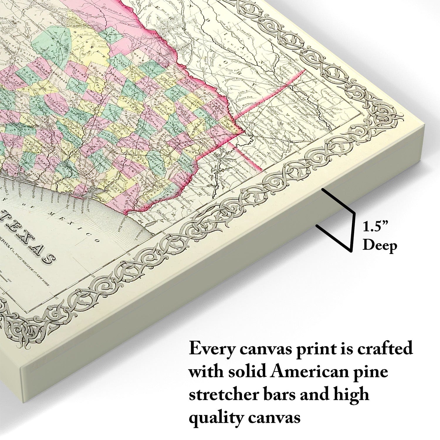
The Best Materials
We hand-stretched our canvas on solid American-grown pine stretcher bars. We use quality canvas and fade-resistant inks to create the lasting art. Canvases come with hardware already installed and ready to hang.
Need help?
Frequently Asked Questions
Order
All of our maps are meticulously restored reproductions of historic originals. Each piece is digitally repaired and color-corrected to bring out the finest details while preserving its authentic, vintage character.
Yes. All Archive Prints products are printed to order in the USA with archival materials.
We offer two premium formats:
- High-Quality Paper Posters – Printed on thick, archival-grade matte paper for rich, vibrant detail.
- Hand-Stretched Canvas Prints – Printed on premium polycotton canvas and mounted on 1.5" solid American pine stretcher bars for a gallery-quality finish.
We carefully digitally restore each map to enhance clarity and color while preserving its original look and historic charm. You’ll enjoy sharp details and a timeless vintage aesthetic that feels true to the original piece.
Yes, we do! We offer premium framing options to make your map ready to hang the moment it arrives. You can choose from Oak, Maple, Black, or Walnut frames directly on the product page. We also offer Stretched Canvas prints for a modern gallery look, as well as archival-quality Posters if you prefer to frame it yourself. Looking for a map we don’t carry? Request a map and we’ll try to source it.
Yes! We offer free shipping on all products within the United States. Each map is carefully packaged to ensure it arrives in perfect condition.
If you’re not completely satisfied, you can return your order in new condition for a full refund. Return shipping costs are the responsibility of the customer.
Absolutely! Our maps make thoughtful, one-of-a-kind gifts for history lovers, map collectors, or anyone looking to add vintage character to their home or office. Choose between paper prints for framing or stretched canvas for a ready-to-hang presentation.
- Paper Posters → Shipped in durable, protective tubes to prevent creasing.
- Canvas Prints → Carefully wrapped, padded, and boxed to ensure safe delivery.
Our maps look stunning in a variety of settings, including:
- Living rooms and home offices
- Libraries and studies
- Corporate offices and conference rooms
- Restaurants, cafes, and boutique spaces