1856 Vintage Hawaii Map - Restored Hawaii Map of Sandwich Islands & Pacific Islands
Hawaii Map
Hawaiian Group & Pacific Islands — Restored Vintage Hawaii Map
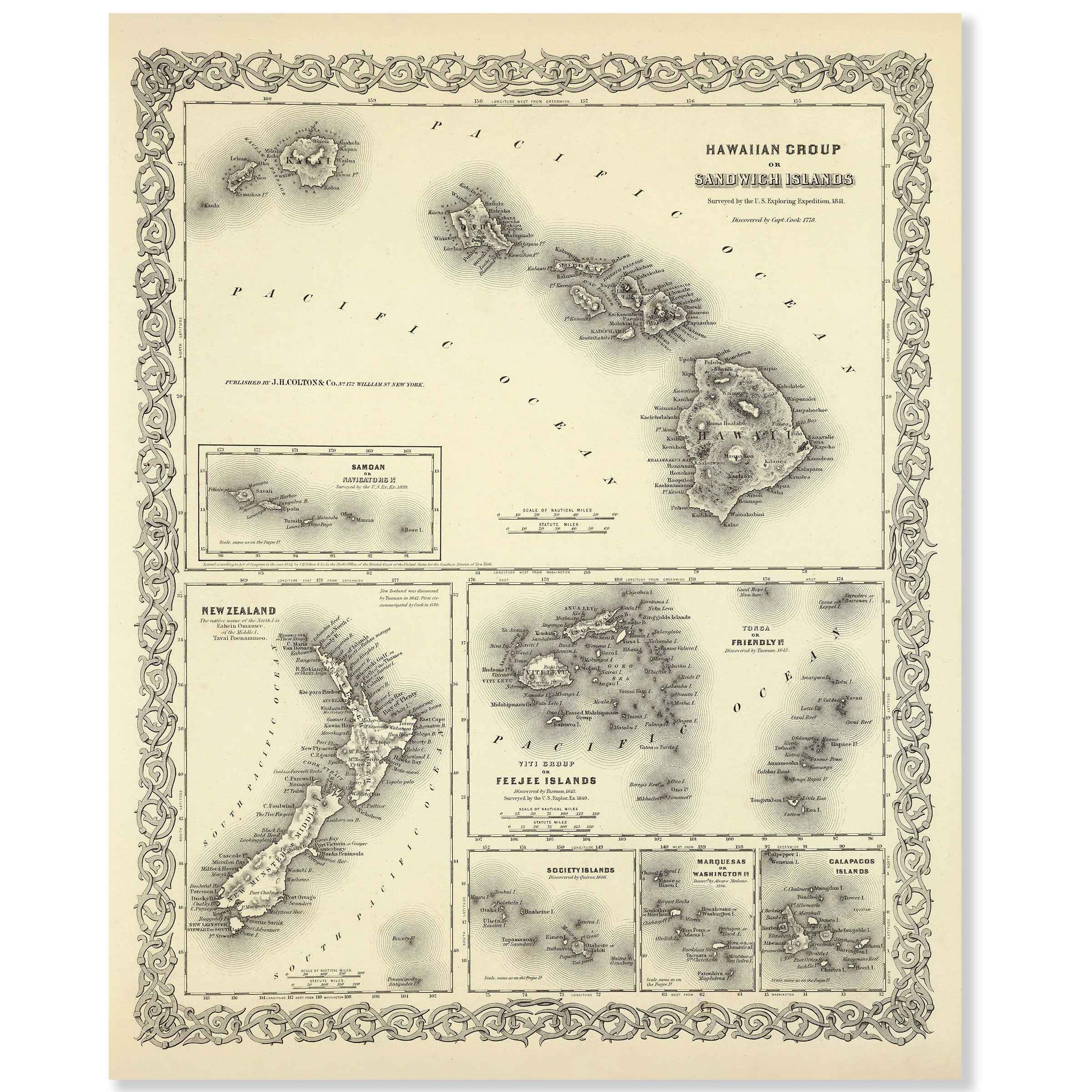
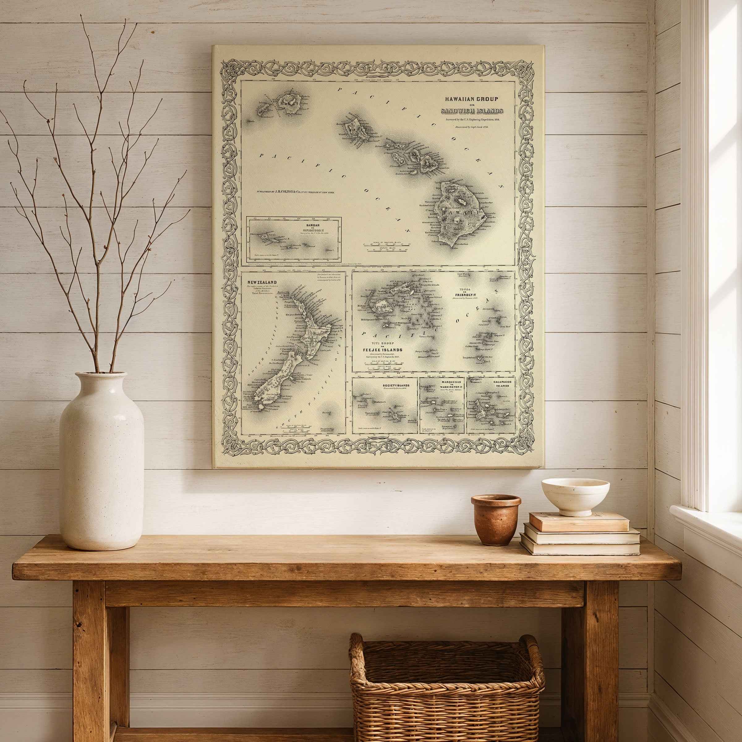
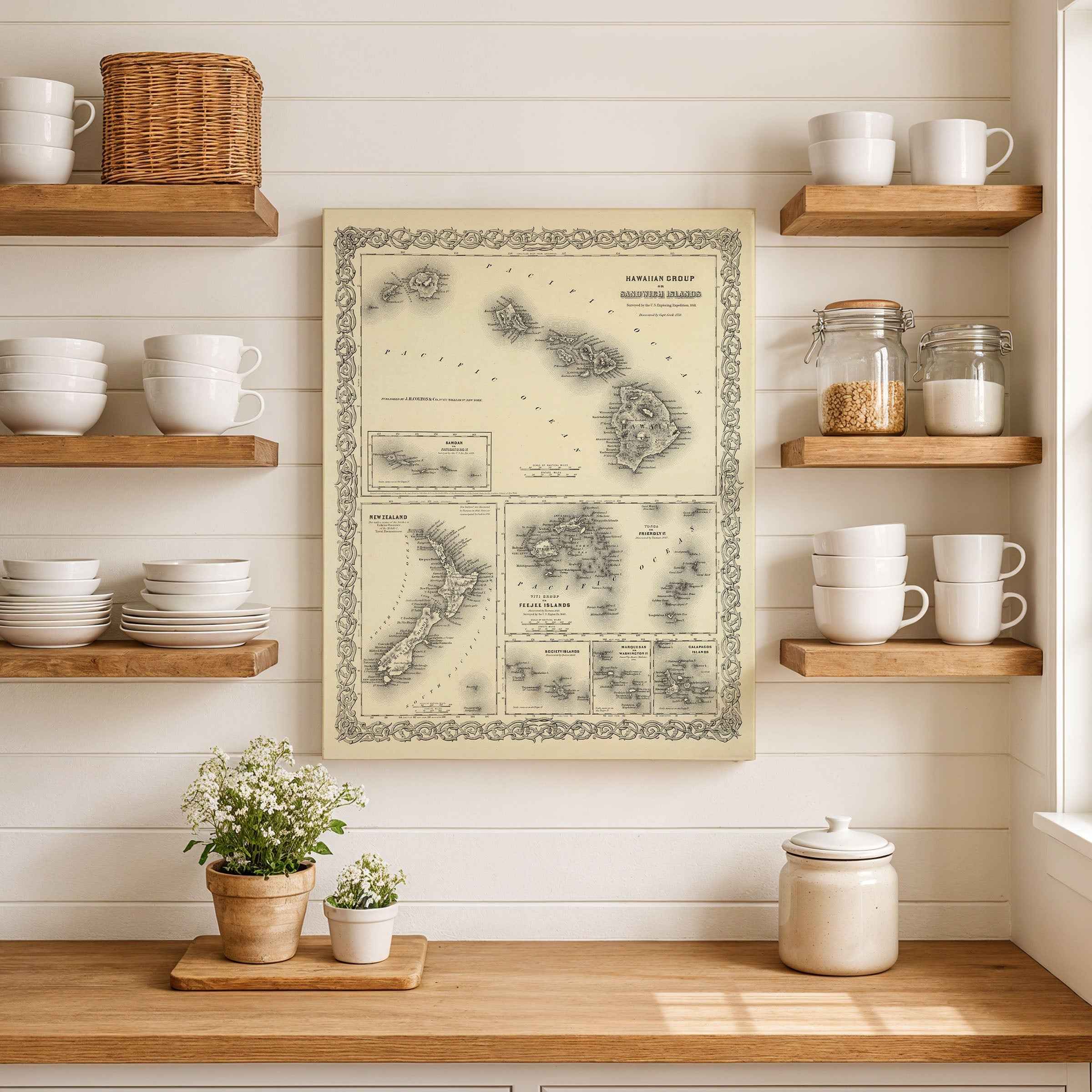
Sail across the nineteenth-century Pacific with this beautifully restored Hawaiian Group (Sandwich Islands) map, complete with finely engraved insets of New Zealand, Fiji, the Friendly and Society Islands, the Marquesas, and the Galápagos. Originally issued by a leading American atlas publisher in the mid-1800s, it captures the ocean as a living network—shipping routes, coastal soundings, and volcanic silhouettes rendered in delicate hachures and surrounded by an ornate border.
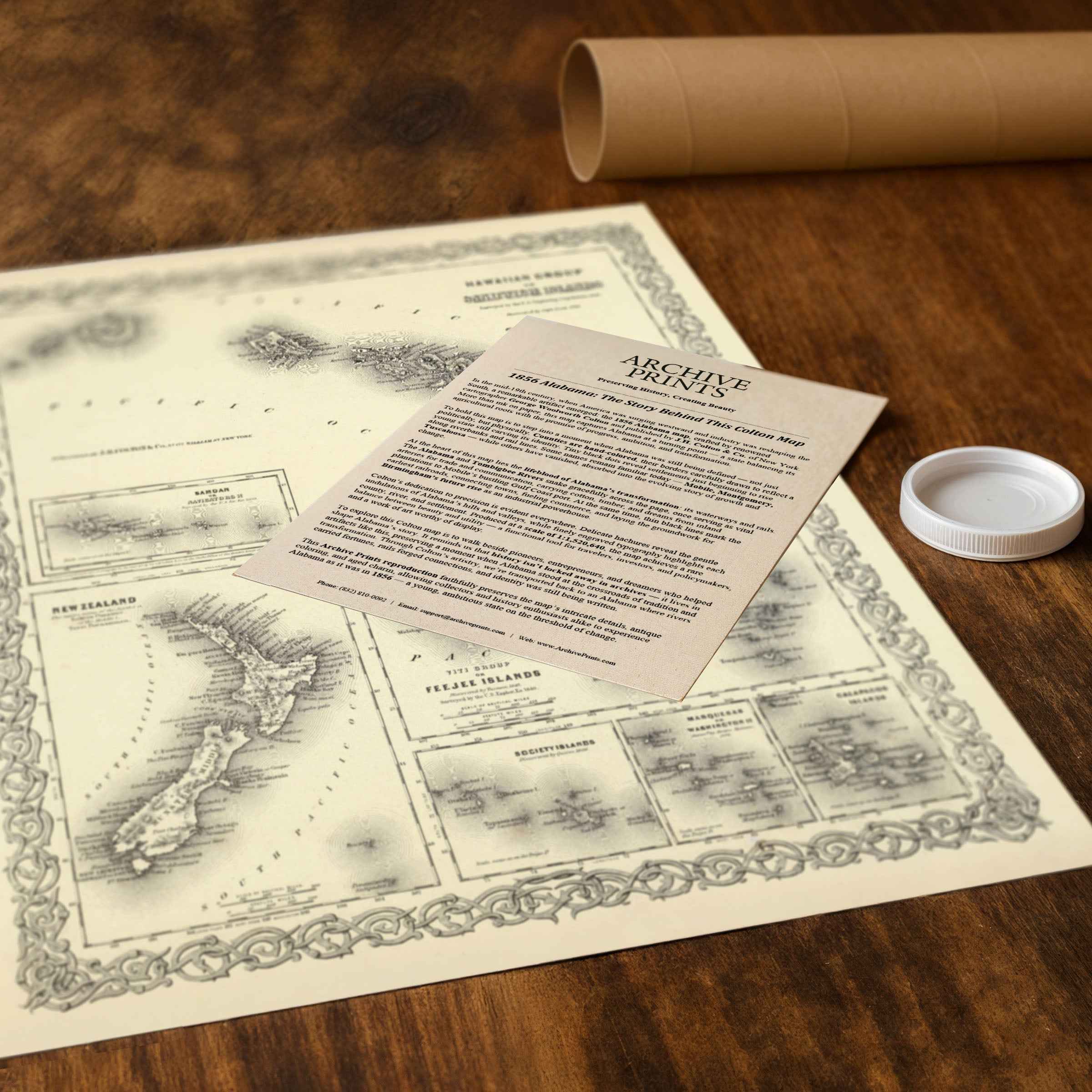
Every reproduction includes a custom historical letter that tells the story behind the chart—how explorers, merchants, and missionaries mapped a vast sea long before aviation or satellites. Subtle antiqued tones, crisp labels, and decorative flourishes make this a striking centerpiece for coastal homes, libraries, offices, and anyone who loves Hawaiʻi and the wider Pacific.
Printed in the USA on heavyweight archival paper or poly-cotton canvas.
Paper prints are carefully rolled in a sturdy mailing tube for safe delivery and easy framing. Canvas prints are meticulously gallery-wrapped on solid 1.5″ pine stretcher bars and ship in reinforced boxes—ready to hang with a pre-installed sawtooth hanger.
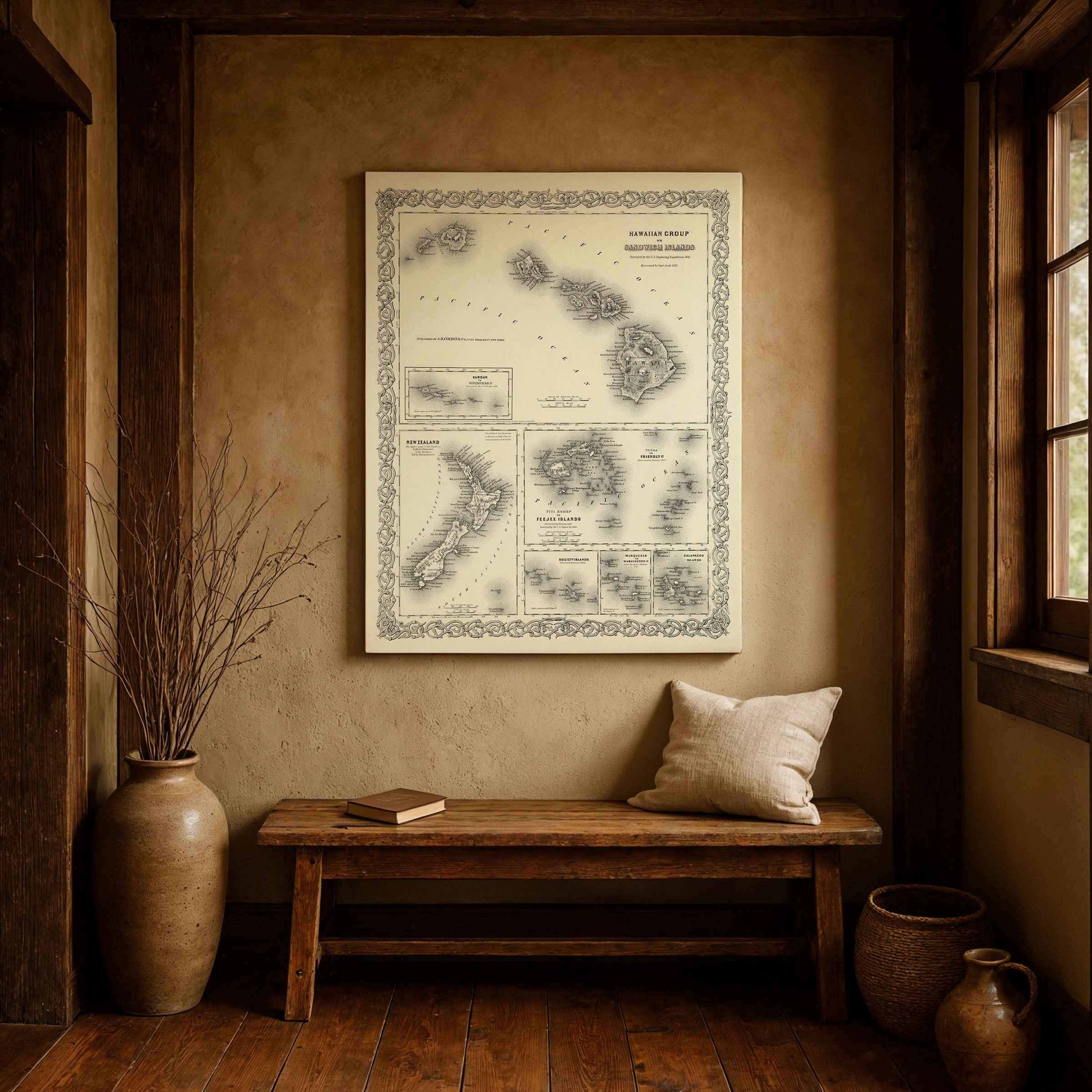
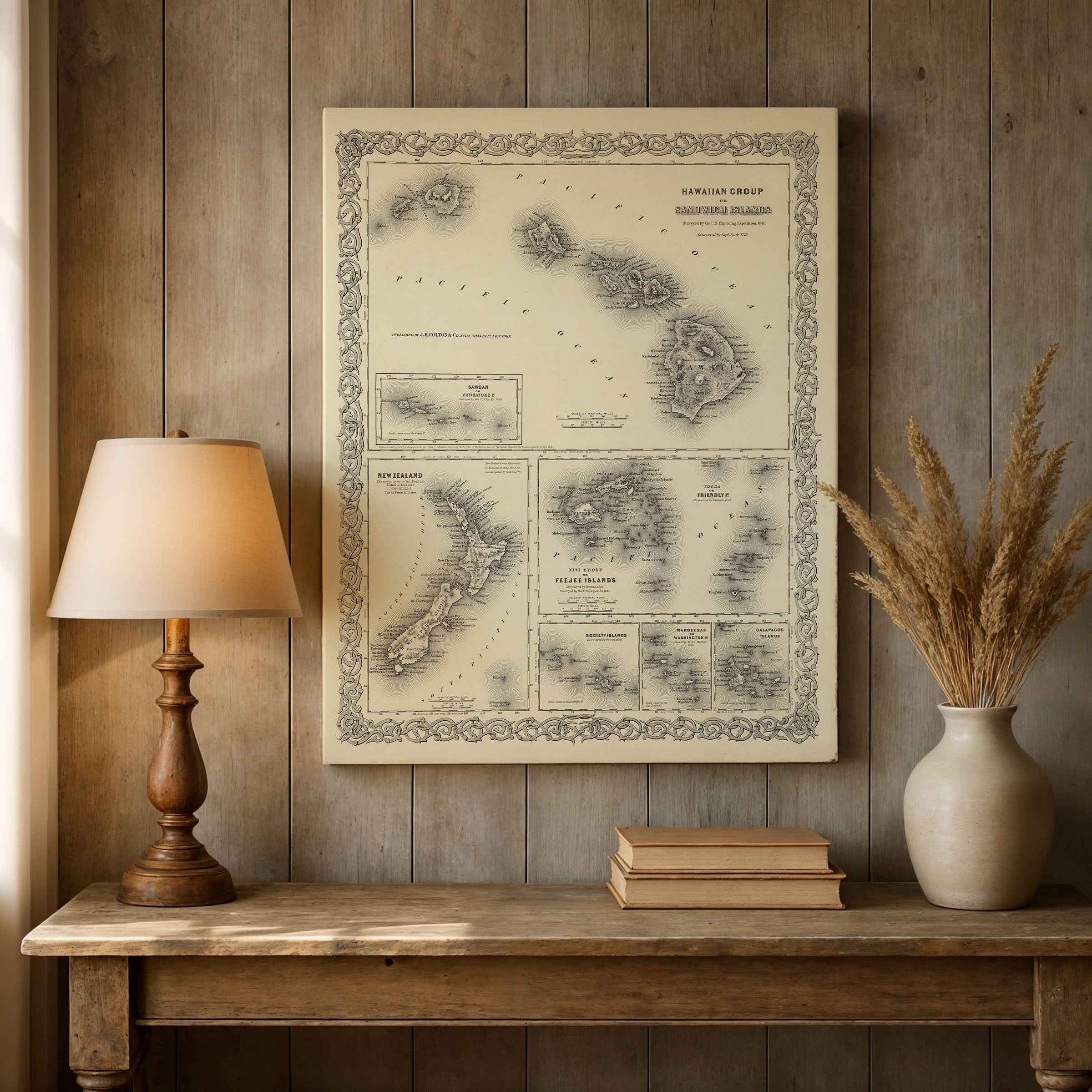
Bring home more than wall art—bring home a conversation piece that links Hawaiʻi to its Pacific neighbors and turns any room into a window on the age of exploration.
The Map Story
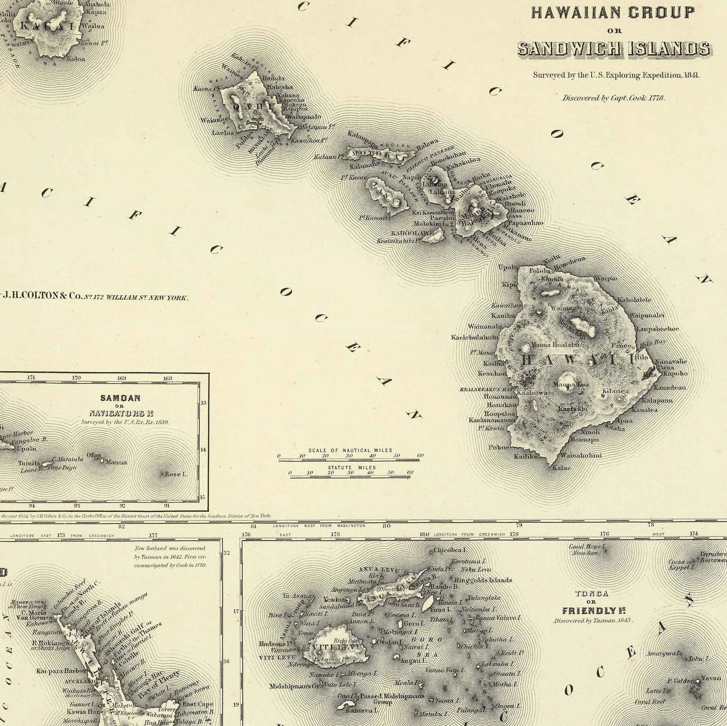
Colton’s 1856 map of the Hawaiian Group sets the islands within a wide Pacific frame: a decorative border, a scatter of insets, and the archipelago itself poised between tradition and the encroaching tide of empire. The engraving is precise but restrained—no pastel counties here, only coastlines, mountains, and harbors etched in fine black, surrounded by names that carried both myth and commerce: Fiji, Tonga, Marquesas, Galápagos. At its heart lies Hawaiʻi, still called the Sandwich Islands in the West, a kingdom balancing sovereignty and outside influence.
It is 1856 and Franklin Pierce is president of the United States. Across the Pacific, Hawaii’s throne is newly occupied by Alexander Liholiho, Kamehameha IV, a young monarch determined to preserve his people’s dignity while engaging with the wider world. Honolulu’s harbor bustles with Yankee whalers taking on water and provisions; the air carries a mix of salt, sandalwood, and the heavy barrels of whale oil bound for lamps in Boston and London. Missionaries set type in printing shops, issuing Bibles and newspapers in ʻōlelo Hawaiʻi, while foreign merchants tally sugar shipments that hint at a future economy yet to come.
On the streets of Honolulu, ox carts grind over coral roads, pulling goods from dock to warehouse. The Royal Palace—still modest by European standards—houses discussions of trade treaties and education reforms. Queen Emma lends her energy to hospitals and schools, while British and American consuls whisper in side rooms about influence, annexation, and naval strategy. Inland, taro still grows in terraced loʻi, fishermen cast nets from canoes, and chants echo under valleys green with breadfruit and kukui.
Beyond Hawaiʻi, Colton’s insets pull the eye across the Pacific. New Zealand appears with dates marking Tasman’s sighting and Cook’s circumnavigation, reminders that discovery to one culture is disruption to another. Fiji and Samoa rest in delicate stippling, their coasts not yet fully charted by Western hands. The Marquesas and Galápagos dot the margins, exotic to atlas buyers but long known to Polynesian voyagers who crossed these waters in double-hulled canoes guided by stars.
The map freezes a moment of precarious equilibrium. The kingdom remains independent, its flag flying over Iolani grounds, even as foreign powers circle. The United States eyes Pearl River Lagoon as a naval station; Britain and France maintain their own ambitions. For now, Hawaiʻi stands as a crossroads of ocean currents, cultures, and ambitions—still its own, yet increasingly woven into the web of global commerce.
Hold Colton’s page at arm’s length and the story emerges: islands rising from the sea, alive with canoes and clipper ships, chants and sermons, luaus and ledgers. In 1856 the Hawaiian Kingdom is both sanctuary and prize, its fate not yet decided, its outline caught in the engraved lines of an atlas meant to capture the world entire.
Materials
Hand‑Stretched Canvas: If you choose canvas, we use a premium cotton‑poly blend stretched over solid pine frames. Each canvas is carefully hand‑stretched for a tight, gallery‑quality finish that’s ready to hang right out of the box.
Vivid, Fade‑Resistant Inks: We use professional‑grade inks that are UV‑resistant, so your print retains its rich colors even when displayed in bright rooms.
Expert Restoration: Every map is digitally restored by skilled artisans. We preserve the character of the original while enhancing clarity, so you see the map as it was meant to be seen.
Secure Packaging: Paper prints are rolled in heavy‑duty mailing tubes, and canvases are cushioned in reinforced boxes to ensure they arrive in pristine condition.
Choosing one of our prints means investing in craftsmanship. We combine historical authenticity with modern print technology and premium materials, giving you a work of art built to stand the test of time.
Choose options

Because every place has a story
Make History Personal
A vintage map is more than art.
It is a reminder of where life began.
Where memories were made.
Where hearts still live. Give the gift of place.
Beautifully preserved and made for the moments that matter.
Why Choose Us?
| Feature | Us | Competitor A | Competitor B |
|---|---|---|---|
| Hand Crafted | |||
| Museum Quality | |||
| 100 Year Guarantee | |||
| Restored by Hand | |||
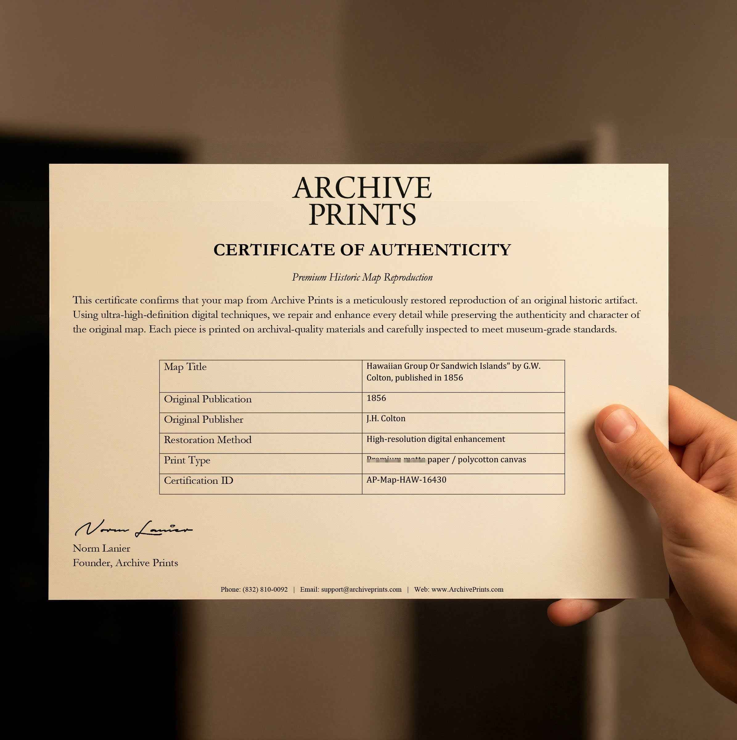
| Certificate of Authenticity |

Art Prints
Archival quality colors. Best option if you'd like to frame it yourself

The Best Materials
We hand-stretched our canvas on solid American-grown pine stretcher bars. We use quality canvas and fade-resistant inks to create the lasting art. Canvases come with hardware already installed and ready to hang.
Need help?
Frequently Asked Questions
Order
All of our maps are meticulously restored reproductions of historic originals. Each piece is digitally repaired and color-corrected to bring out the finest details while preserving its authentic, vintage character.
Yes. All Archive Prints products are printed to order in the USA with archival materials.
We offer two premium formats:
- High-Quality Paper Posters – Printed on thick, archival-grade matte paper for rich, vibrant detail.
- Hand-Stretched Canvas Prints – Printed on premium polycotton canvas and mounted on 1.5" solid American pine stretcher bars for a gallery-quality finish.
We carefully digitally restore each map to enhance clarity and color while preserving its original look and historic charm. You’ll enjoy sharp details and a timeless vintage aesthetic that feels true to the original piece.
Yes, we do! We offer premium framing options to make your map ready to hang the moment it arrives. You can choose from Oak, Maple, Black, or Walnut frames directly on the product page. We also offer Stretched Canvas prints for a modern gallery look, as well as archival-quality Posters if you prefer to frame it yourself.
Yes! We offer free shipping on all products within the United States. Each map is carefully packaged to ensure it arrives in perfect condition.
If you’re not completely satisfied, you can return your order in new condition for a full refund. Return shipping costs are the responsibility of the customer.
Absolutely! Our maps make thoughtful, one-of-a-kind gifts for history lovers, map collectors, or anyone looking to add vintage character to their home or office. Choose between paper prints for framing or stretched canvas for a ready-to-hang presentation.
- Paper Posters → Shipped in durable, protective tubes to prevent creasing.
- Canvas Prints → Carefully wrapped, padded, and boxed to ensure safe delivery.
Our maps look stunning in a variety of settings, including:
- Living rooms and home offices
- Libraries and studies
- Corporate offices and conference rooms
- Restaurants, cafes, and boutique spaces