1856 Minnesota Map by Colton - Vintage Map Print for Collectors
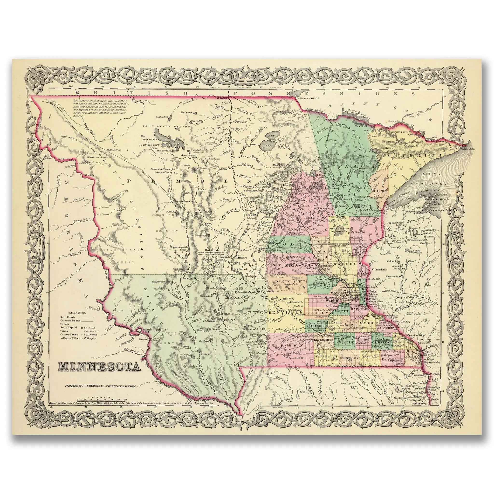
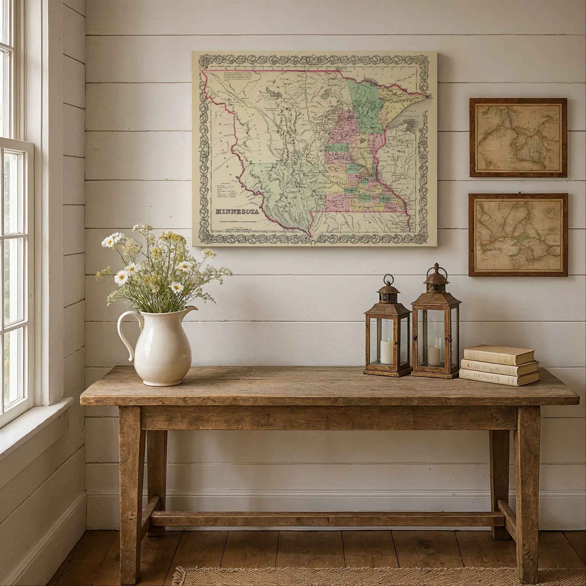
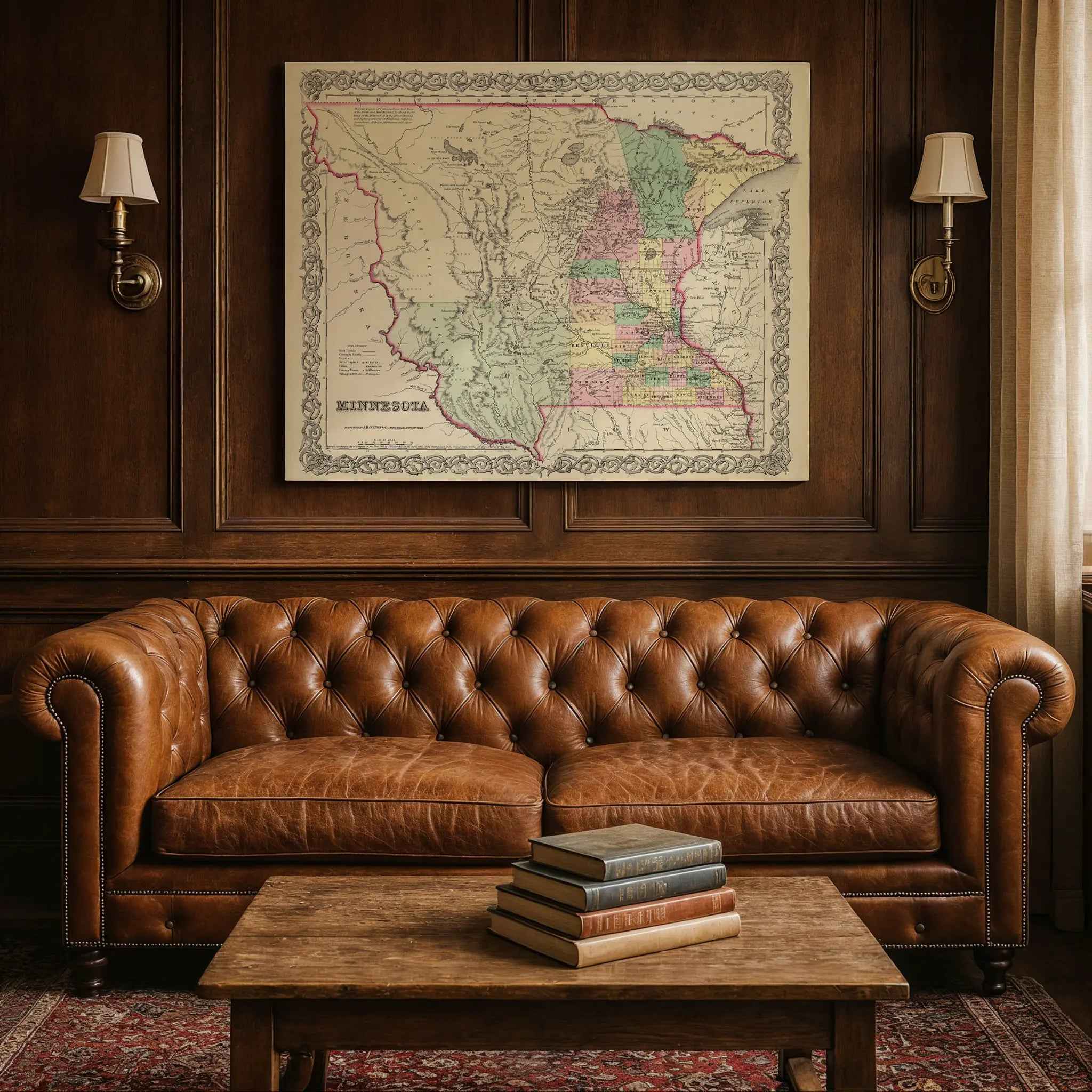
This exceptional 1856 map of Minnesota by G.W. Colton represents a fascinating piece of American cartographic history. Published by J.H. Colton & Co. in New York, this map captures Minnesota during a pivotal period of westward expansion, extending from Lake Superior to the Missouri River and covering areas of present-day Minnesota, North Dakota, and South Dakota.
**Historical Significance:**
Created during the height of American territorial expansion, this map showcases Minnesota's geography as understood in the mid-19th century. A particularly notable feature is the proposed route of the Pacific Railroad, reflecting the era's ambitious infrastructure development plans that would connect the eastern United States with the expanding western territories.
**Cartographic Excellence:**
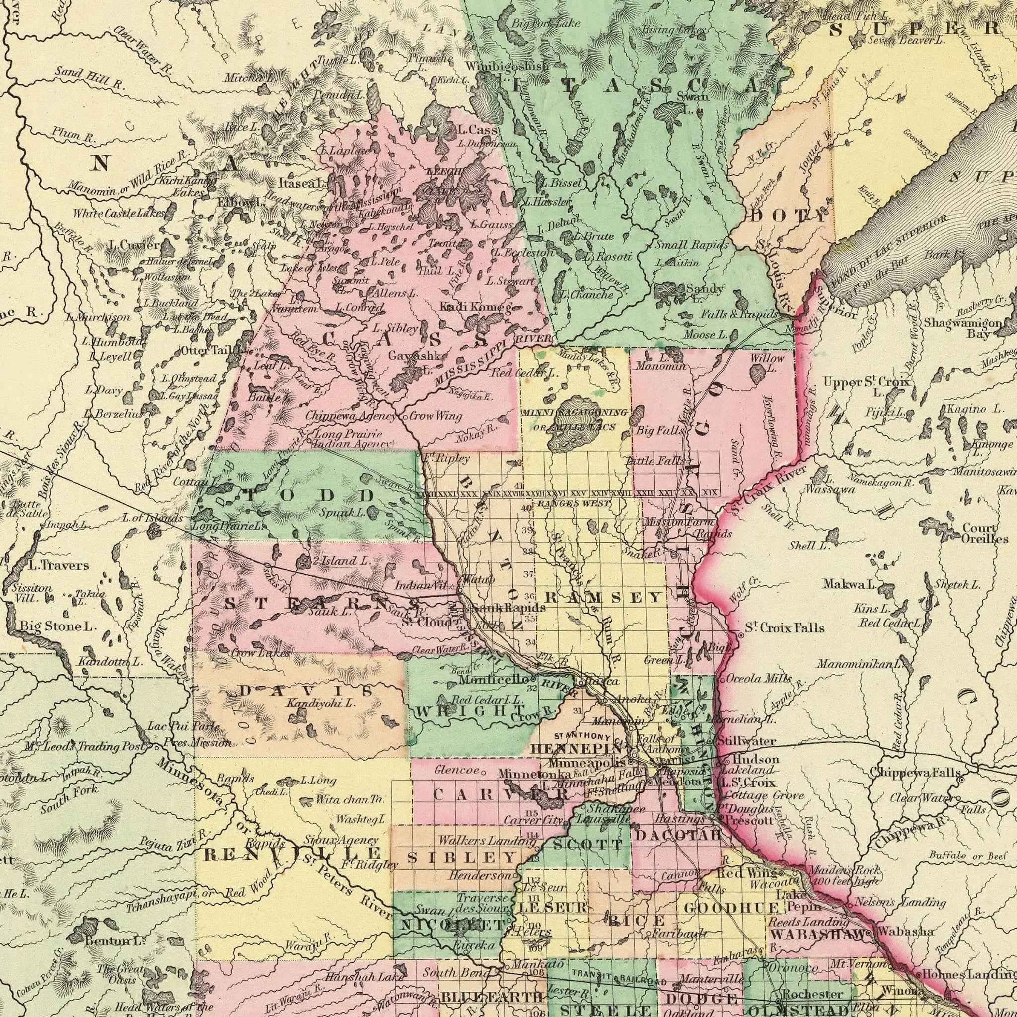
This map is part of Colton's Atlas of the World, renowned for being one of the finest and most accurate atlases of its period. The full-color presentation includes detailed topographical features, settlements, rivers, lakes, and territorial divisions. Minnesota's boundaries are highlighted in pink, with various regions distinguished by different colors for enhanced clarity.
**Technical Details:**
- **Scale:** 1:2,500,000
- **Dimensions:** 41 cm x 34 cm (original)
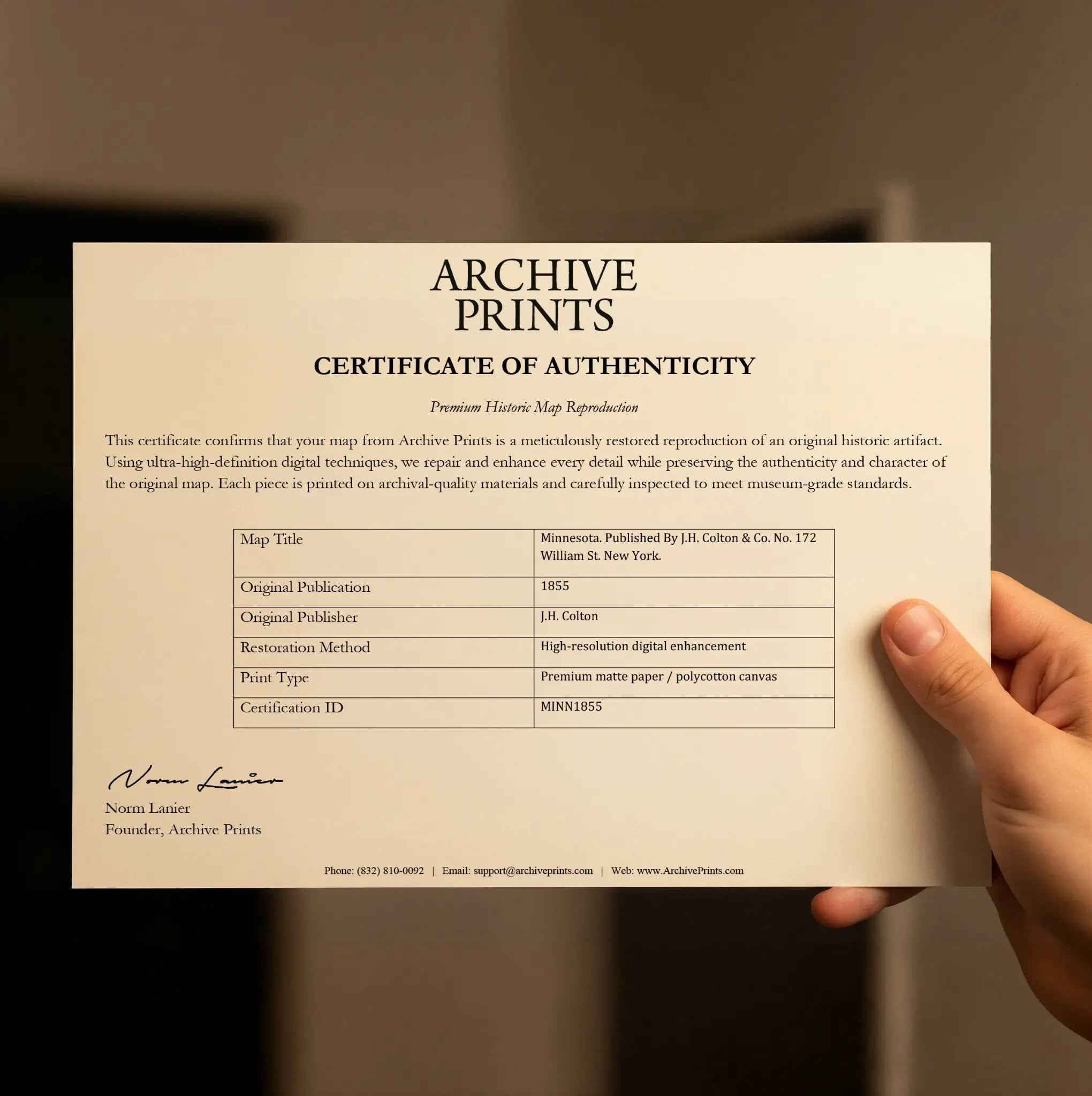
- **Publisher:** J.H. Colton & Co., New York
- **Reference:** P816, List No. 0149.054
- **Collection:** Rumsey Collection
**Decorative Features:**
The map exhibits Colton's characteristic decorative border, adding ornamental appeal to the functional cartographic presentation. Natural landmarks including Lake Superior and the Missouri River are prominently featured, serving as both geographic reference points and vital transportation routes of the era.
**Historical Context:**
This large one-volume 1856 edition is scarcer than the two-volume edition. Colton's atlas was initially published by subscription and represents the first world atlas produced by Colton after years of creating pocket maps, wall maps, and guides. The atlas had a remarkable publishing run of over thirty years, demonstrating its enduring value and accuracy.
**Perfect For:**
- History enthusiasts and collectors
- Educational institutions and libraries
- Interior designers seeking authentic vintage décor
- Minnesota residents celebrating their state's heritage
- Researchers studying 19th-century American expansion
- Collectors of Colton atlas maps
This museum-quality reproduction captures every detail of the original map, from the intricate geographical features to the period typography and decorative elements that make Colton's work so distinctive and historically significant.
The Map Story
In 1856, J.H. Colton & Co. published its atlas map of Minnesota, a vast territory stretching from Lake Superior to the Missouri River, including lands that today form parts of the Dakotas. Counties were outlined in color, rivers carved their courses across the page, and a bold dashed line traced the proposed route of the Pacific Railroad. On paper, it was a vision of promise. In reality, Minnesota was a frontier in flux—half wilderness, half settlement, and entirely caught up in the great experiment of America’s westward growth.
The United States was under President Franklin Pierce, and the nation’s attention was fixed on conflicts over slavery and expansion. Yet Minnesota’s story was shaped more by migration, land, and opportunity. Just eight years earlier it had become an official territory, and its population was swelling with settlers lured by fertile soil, abundant forests, and rivers that promised trade. St. Paul, barely more than a river town in 1849, had become the territorial capital and a lively center of commerce by 1856.
Life for new arrivals was demanding. Families traveled by steamboat up the Mississippi, then spread outward to carve homesteads from prairie and woodland. Winters were harsh, summers thick with mosquitoes, and isolation was a constant challenge. Yet the chance to own land and build a future proved irresistible. Immigrant communities, particularly Germans and Scandinavians, began planting roots that would shape Minnesota’s culture for generations.
Native peoples, including the Dakota and Ojibwe, still occupied large parts of the territory, though treaties and pressure from settlement steadily eroded their lands. By 1856, tensions simmered as settlers encroached farther west, setting the stage for conflicts that would erupt in the decade ahead.
Colton’s inclusion of a proposed Pacific Railroad route underscored Minnesota’s strategic importance. The dream of linking east to west by rail promised to make the territory not just a frontier but a bridge between regions. Meanwhile, sawmills turned pine forests into lumber, farmers planted wheat across the southern plains, and towns like Minneapolis, then a modest settlement near St. Anthony Falls, hinted at the industrial power to come.
Colton’s map presented Minnesota with clean lines and orderly counties, but the true story was one of rapid transformation. In 1856, Minnesota stood on the threshold of statehood, balancing old traditions with new ambitions, and carrying the hopes of thousands who believed they were building both homes and history on the northern frontier.
Materials
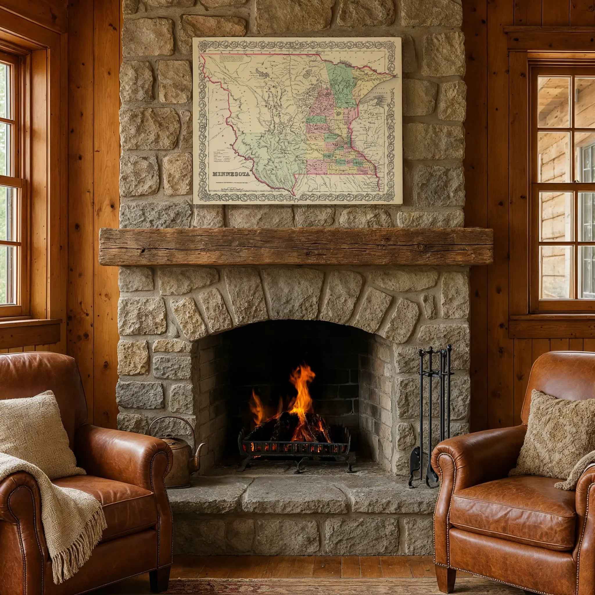
Hand‑Stretched Canvas: If you choose canvas, we use a premium cotton‑poly blend stretched over solid pine frames. Each canvas is carefully hand‑stretched for a tight, gallery‑quality finish that's ready to hang right out of the box.
Vivid, Fade‑Resistant Inks: We use professional‑grade inks that are UV‑resistant, so your print retains its rich colors even when displayed in bright rooms.
Expert Restoration: Every map is digitally restored by skilled artisans. We preserve the character of the original while enhancing clarity, so you see the map as it was meant to be seen.
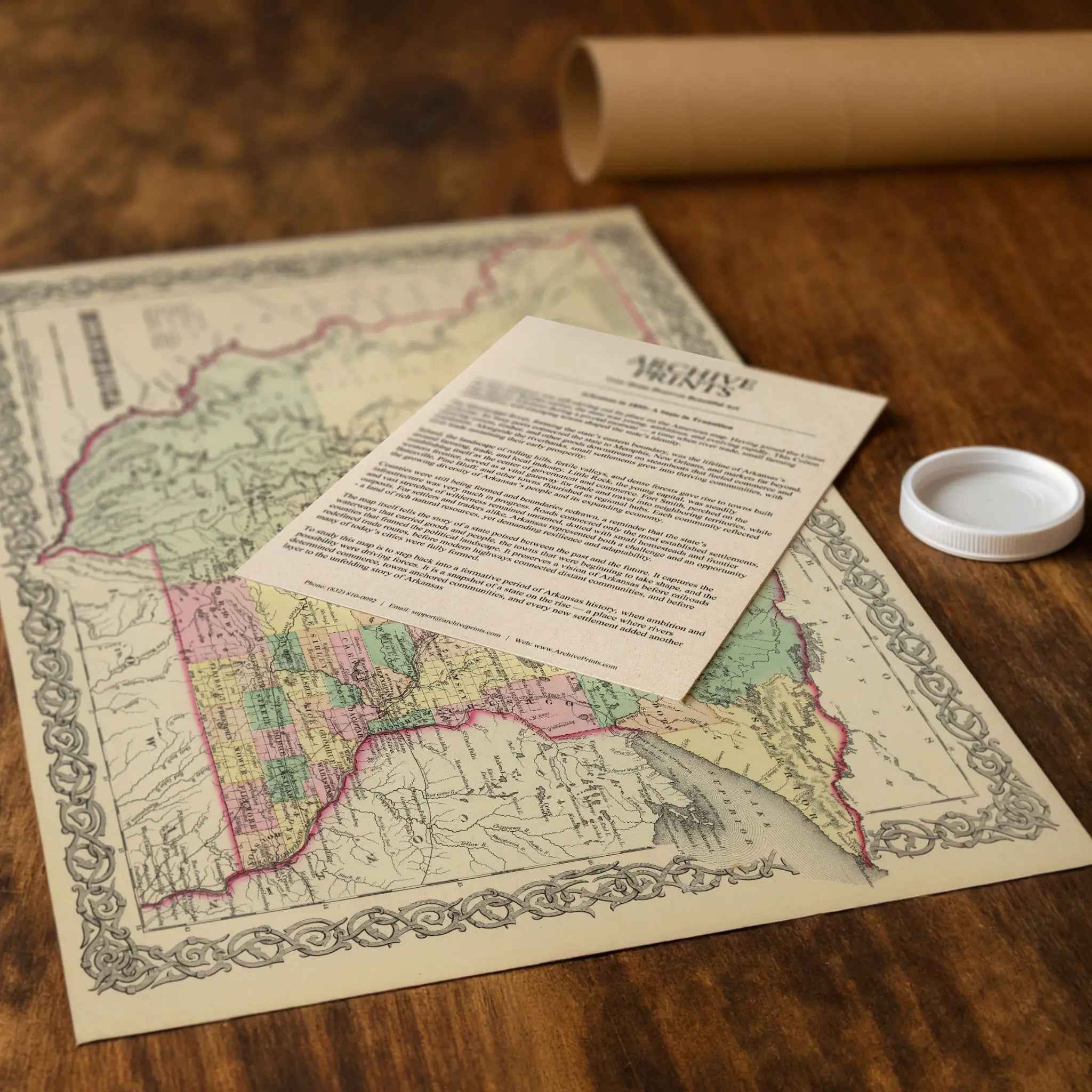
Secure Packaging: Paper prints are rolled in heavy‑duty mailing tubes, and canvases are cushioned in reinforced boxes to ensure they arrive in pristine condition.
Choosing one of our prints means investing in craftsmanship. We combine historical authenticity with modern print technology and premium materials, giving you a work of art built to stand the test of time.
Choose options

Because every place has a story
Make History Personal
A vintage map is more than art.
It is a reminder of where life began.
Where memories were made.
Where hearts still live. Give the gift of place.
Beautifully preserved and made for the moments that matter.
Why Choose Us?
| Feature | Us | Competitor A | Competitor B |
|---|---|---|---|
| Hand Crafted | |||
| Museum Quality | |||
| 100 Year Guarantee | |||
| Restored by Hand | |||
| Certificate of Authenticity |

Art Prints
Archival quality colors. Best option if you'd like to frame it yourself

The Best Materials
We hand-stretched our canvas on solid American-grown pine stretcher bars. We use quality canvas and fade-resistant inks to create the lasting art. Canvases come with hardware already installed and ready to hang.
Need help?
Frequently Asked Questions
Order
All of our maps are meticulously restored reproductions of historic originals. Each piece is digitally repaired and color-corrected to bring out the finest details while preserving its authentic, vintage character.
Yes. All Archive Prints products are printed to order in the USA with archival materials.
We offer two premium formats:
- High-Quality Paper Posters – Printed on thick, archival-grade matte paper for rich, vibrant detail.
- Hand-Stretched Canvas Prints – Printed on premium polycotton canvas and mounted on 1.5" solid American pine stretcher bars for a gallery-quality finish.
We carefully digitally restore each map to enhance clarity and color while preserving its original look and historic charm. You’ll enjoy sharp details and a timeless vintage aesthetic that feels true to the original piece.
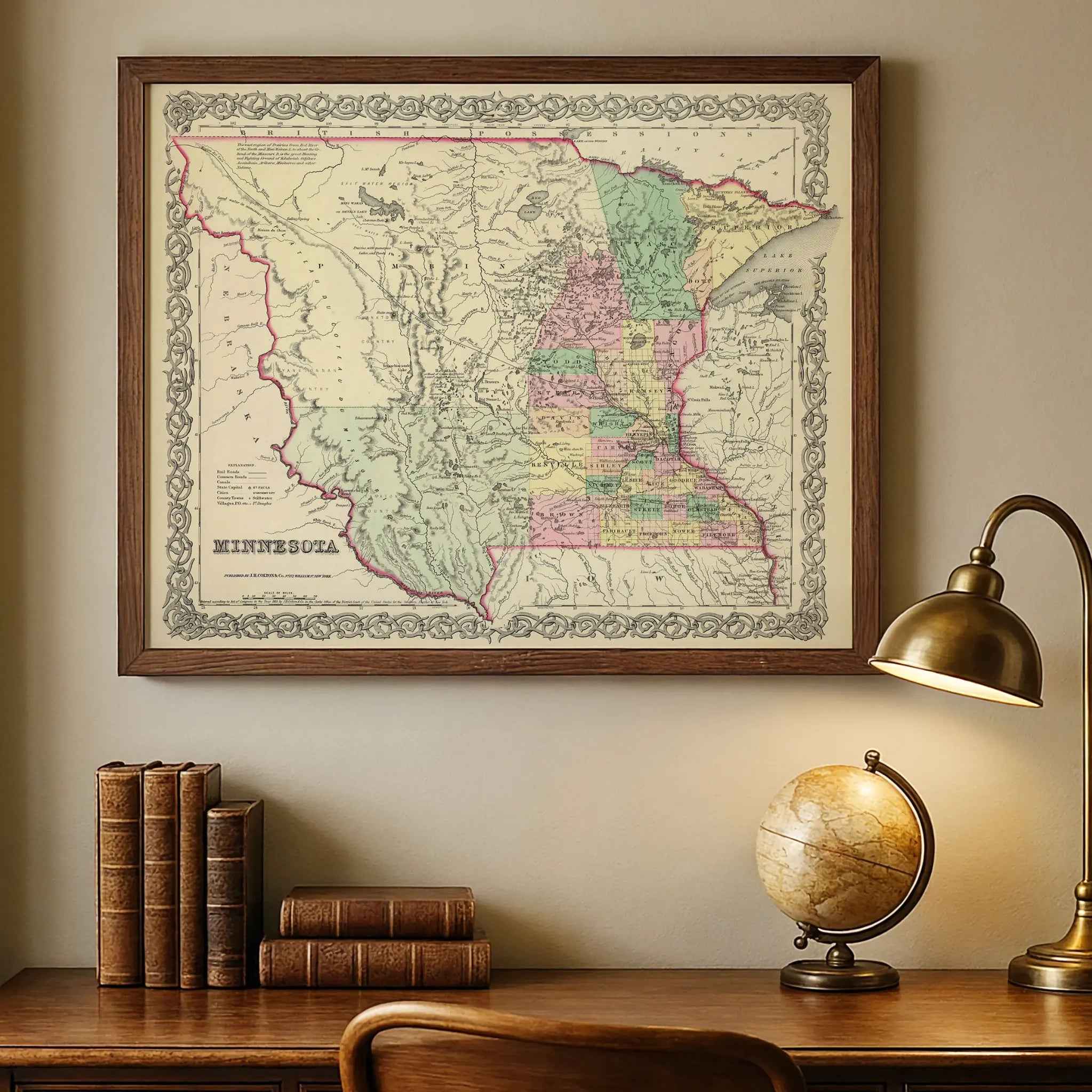
Yes, we do! We offer premium framing options to make your map ready to hang the moment it arrives. You can choose from Oak, Maple, Black, or Walnut frames directly on the product page. We also offer Stretched Canvas prints for a modern gallery look, as well as archival-quality Posters if you prefer to frame it yourself.
Yes! We offer free shipping on all products within the United States. Each map is carefully packaged to ensure it arrives in perfect condition.
If you’re not completely satisfied, you can return your order in new condition for a full refund. Return shipping costs are the responsibility of the customer.
Absolutely! Our maps make thoughtful, one-of-a-kind gifts for history lovers, map collectors, or anyone looking to add vintage character to their home or office. Choose between paper prints for framing or stretched canvas for a ready-to-hang presentation.
- Paper Posters → Shipped in durable, protective tubes to prevent creasing.
- Canvas Prints → Carefully wrapped, padded, and boxed to ensure safe delivery.
Our maps look stunning in a variety of settings, including:
- Living rooms and home offices
- Libraries and studies
- Corporate offices and conference rooms
- Restaurants, cafes, and boutique spaces