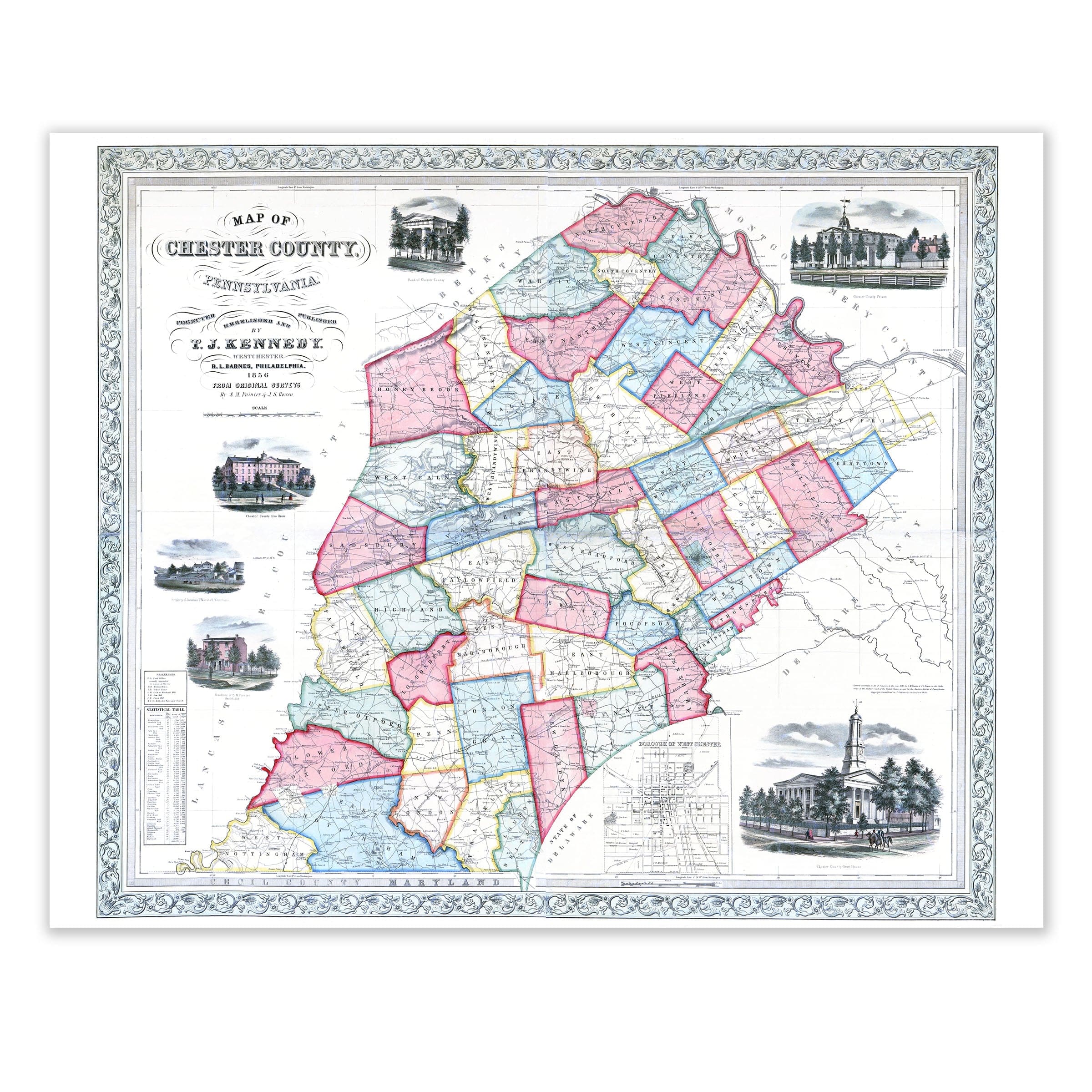
Chester County, Pennsylvania Map 1848
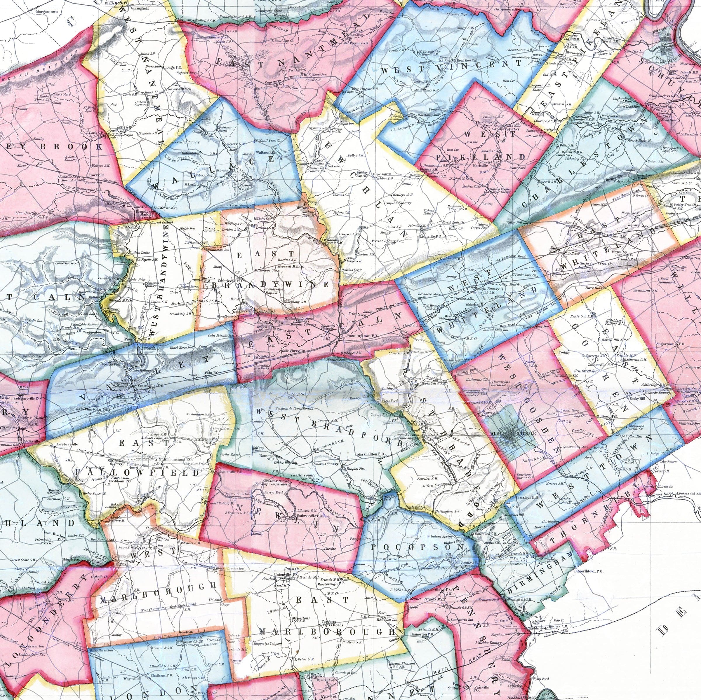
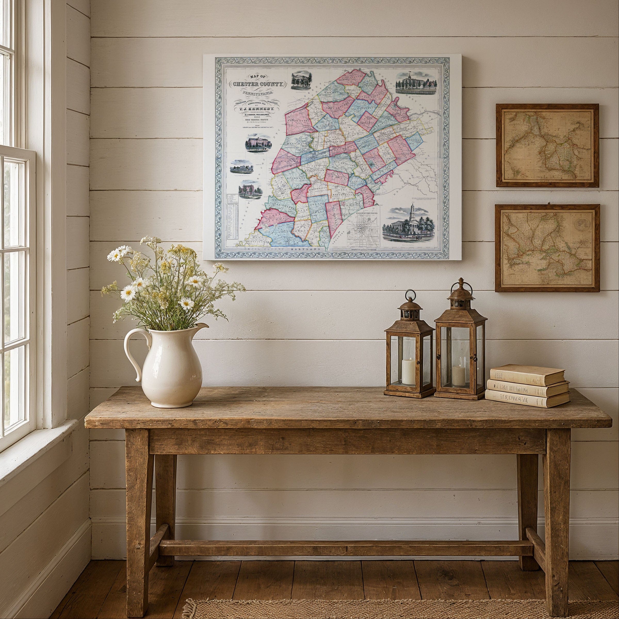
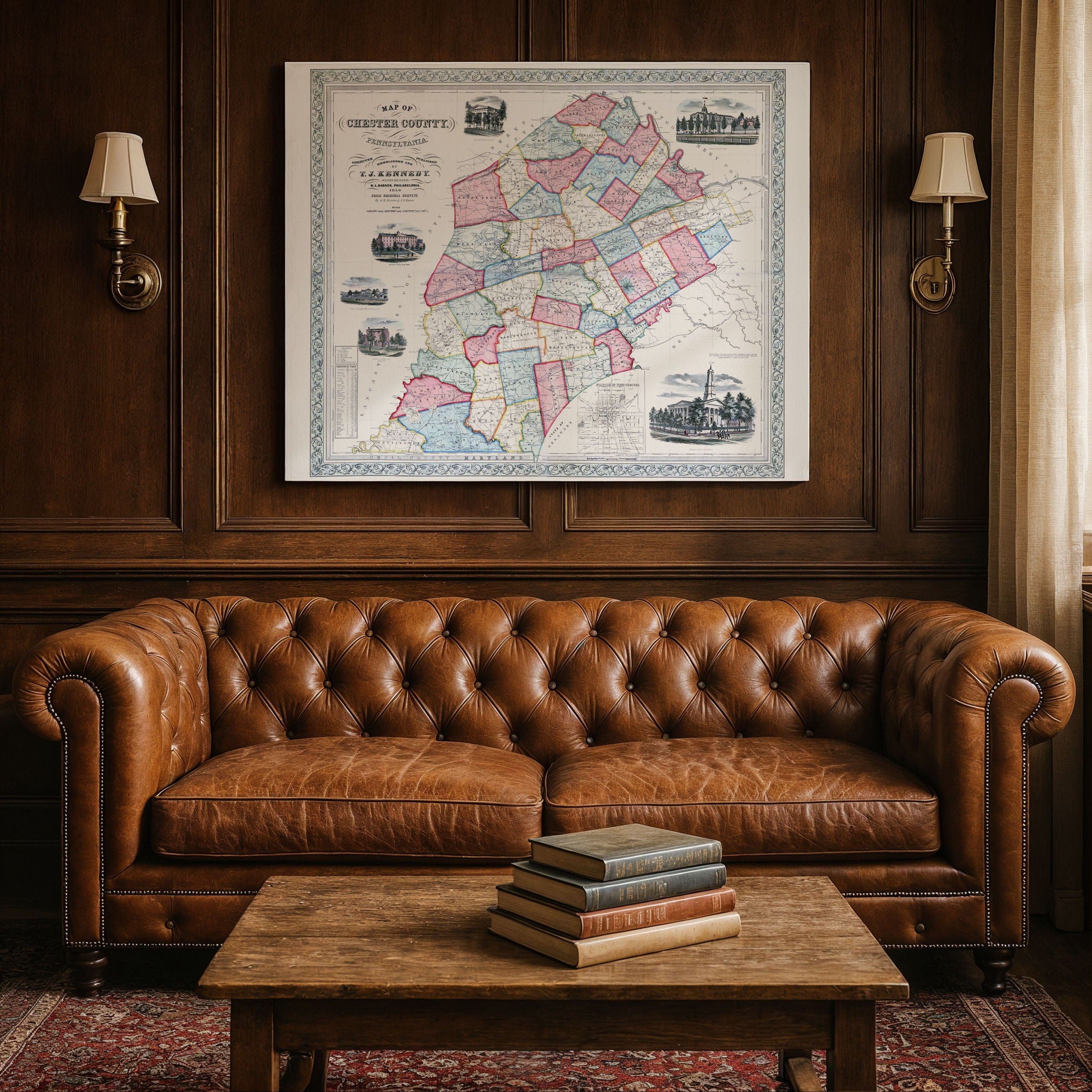
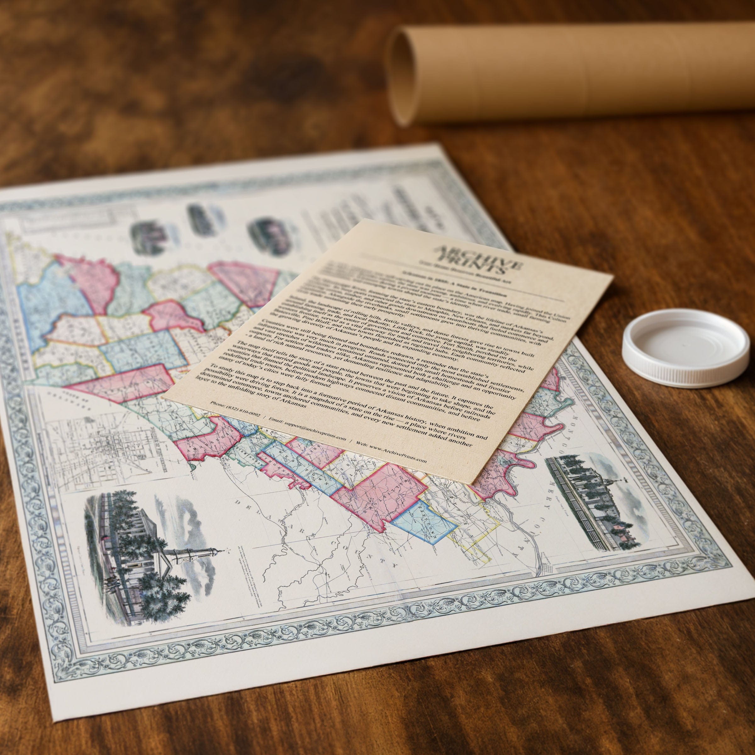
Discover the historic Chester County, Pennsylvania Map from 1848 that captures one of Pennsylvania's earliest and most prosperous regions at a pivotal moment balancing colonial heritage with the social, agricultural, and industrial changes reshaping mid-19th-century America. This vintage map style richly detailed county map by T. J. Kennedy showcases Chester County at a time when its towns, farms, and transportation routes were expanding into a more interconnected world, long known for its fertile soil, thriving villages, and strong civic institutions appearing as a landscape of order, productivity, and quiet confidence. The Chester County, Pennsylvania Map divides the county into brightly hand-colored townships, each outlined with care, reflecting the administrative structure that shaped daily life for generations in this old map aesthetic. Roads and turnpikes weave across the countryside, linking farmsteads, mills, and crossroads communities to larger boroughs such as West Chester, Phoenixville, and Downingtown, while creeks and branches—Brandywine, Pickering, French, and White Clay—flow prominently across the page as reminders of the water-powered industries that supported early ironworks, tanneries, and grain mills. This vintage map features inset engravings that add human texture to the county's portrait, with West Chester's courthouse rising with classical dignity, symbolizing the civic pride of a region long involved in Pennsylvania's political and legal life. Surrounding vignettes showcase academies, seminaries, and notable residences, reflecting the county's strong tradition of education and its reputation for orderly community building, serving not only as decorative elements but as affirmations of culture and stability in an era of rapid national growth. The internal township borders and network of roads underscore Chester County's agricultural strength, as by the 1840s fruit orchards, dairy farms, and grain fields produced goods for both local use and distant markets. The proximity to Philadelphia made the county a vital supplier to the growing city, and new transportation improvements—including canals and early rail lines just beginning to appear—promised even greater connectivity in this old map that predates the full rise of the railroad era yet meticulously depicts roadways hinting at a region on the cusp of transformation. Kennedy's comprehensive view preserves a county that retained the character of its Quaker founders while embracing the progress of a new century, blending rural tranquility, economic vitality, and civic order that defined Chester County's identity. Each reproduction includes a custom historical letter detailing the story behind the map, making it perfect for Pennsylvania collectors, Chester County residents, and genealogy enthusiasts. Printed on heavyweight archival paper or hand-stretched polycotton canvas, every township, road, and waterway is rendered in museum-grade clarity for generations of enjoyment. Paper prints ship rolled in heavy-duty tubes, while canvas editions arrive gallery-wrapped on solid pine stretcher bars with pre-installed hardware—ready to display the moment it arrives. Bring home the spirit of 1848 Chester County and celebrate a community rooted in history yet poised for change.
The Map Story
Materials
Choose options

Because every place has a story
Make History Personal
A vintage map is more than art.
It is a reminder of where life began.
Where memories were made.
Where hearts still live. Give the gift of place.
Beautifully preserved and made for the moments that matter.
Why Choose Us?
| Feature | Us | Competitor A | Competitor B |
|---|---|---|---|
| Hand Crafted | |||
| Museum Quality | |||
| 100 Year Guarantee | |||
| Restored by Hand | |||
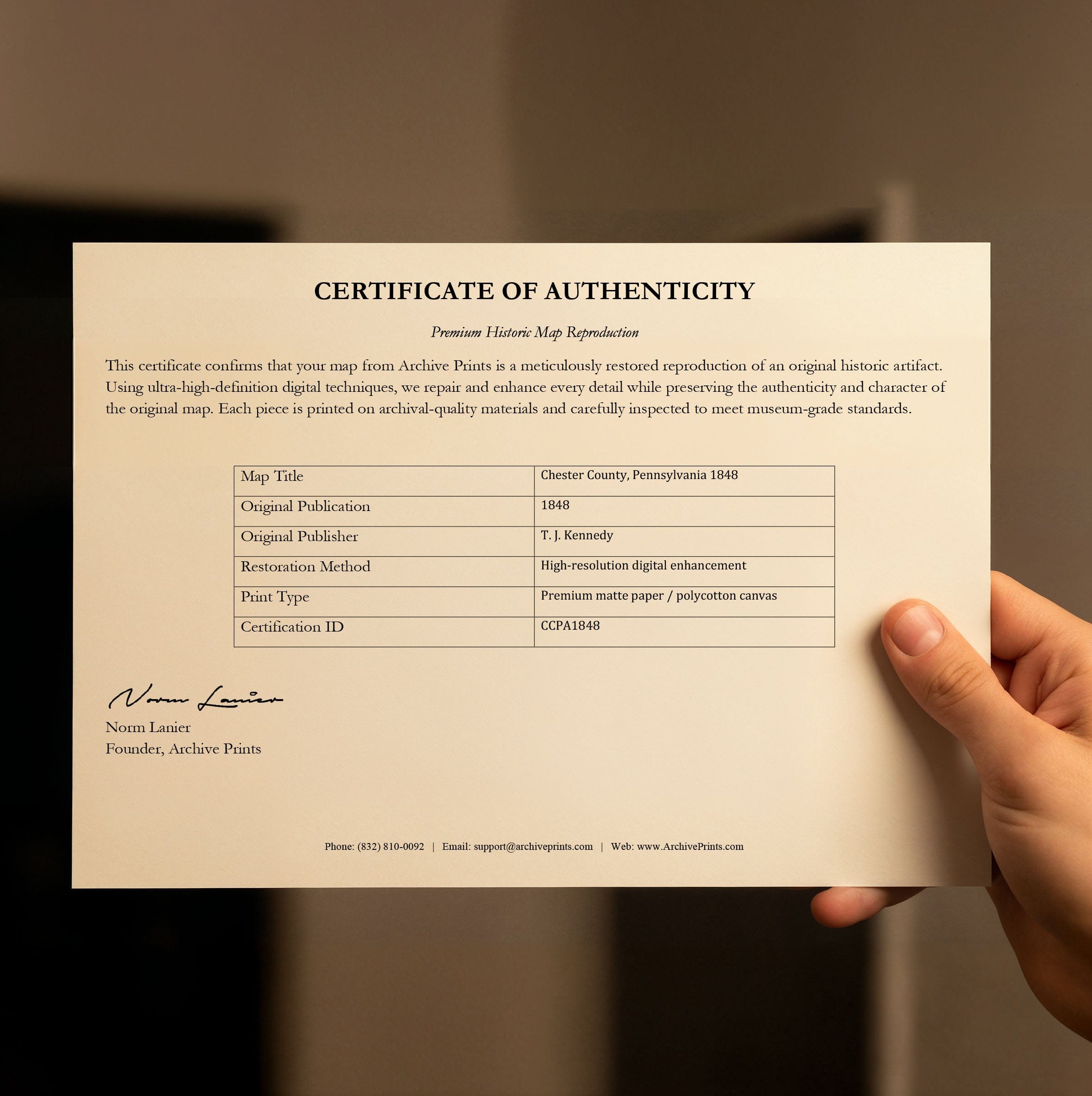
| Certificate of Authenticity |

Art Prints
Archival quality colors. Best option if you'd like to frame it yourself

The Best Materials
We hand-stretched our canvas on solid American-grown pine stretcher bars. We use quality canvas and fade-resistant inks to create the lasting art. Canvases come with hardware already installed and ready to hang.
Need help?
Frequently Asked Questions
Order
All of our maps are meticulously restored reproductions of historic originals. Each piece is digitally repaired and color-corrected to bring out the finest details while preserving its authentic, vintage character.
Yes. All Archive Prints products are printed to order in the USA with archival materials.
We offer two premium formats:
- High-Quality Paper Posters – Printed on thick, archival-grade matte paper for rich, vibrant detail.
- Hand-Stretched Canvas Prints – Printed on premium polycotton canvas and mounted on 1.5" solid American pine stretcher bars for a gallery-quality finish.
We carefully digitally restore each map to enhance clarity and color while preserving its original look and historic charm. You’ll enjoy sharp details and a timeless vintage aesthetic that feels true to the original piece.
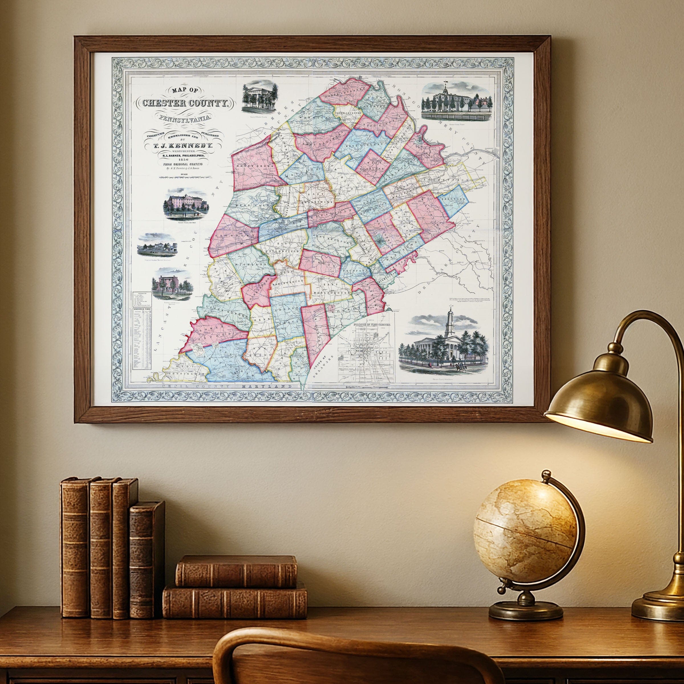
Yes, we do! We offer premium framing options to make your map ready to hang the moment it arrives. You can choose from Oak, Maple, Black, or Walnut frames directly on the product page. We also offer Stretched Canvas prints for a modern gallery look, as well as archival-quality Posters if you prefer to frame it yourself.
Yes! We offer free shipping on all products within the United States. Each map is carefully packaged to ensure it arrives in perfect condition.
If you’re not completely satisfied, you can return your order in new condition for a full refund. Return shipping costs are the responsibility of the customer.
Absolutely! Our maps make thoughtful, one-of-a-kind gifts for history lovers, map collectors, or anyone looking to add vintage character to their home or office. Choose between paper prints for framing or stretched canvas for a ready-to-hang presentation.
- Paper Posters → Shipped in durable, protective tubes to prevent creasing.
- Canvas Prints → Carefully wrapped, padded, and boxed to ensure safe delivery.
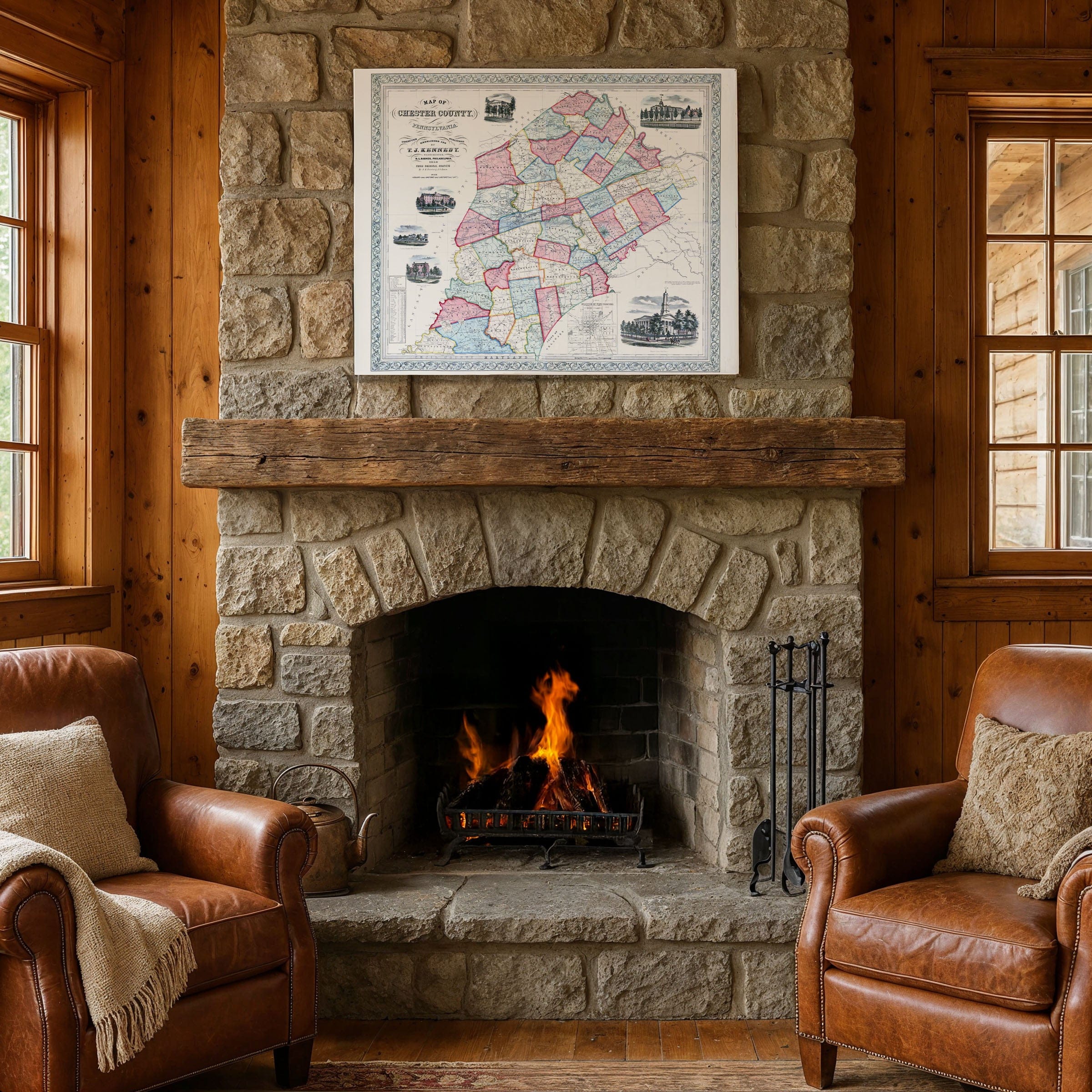
Our maps look stunning in a variety of settings, including:
- Living rooms and home offices
- Libraries and studies
- Corporate offices and conference rooms
- Restaurants, cafes, and boutique spaces