

City of San Francisco Map 1896
City of San Francisco Map 1896
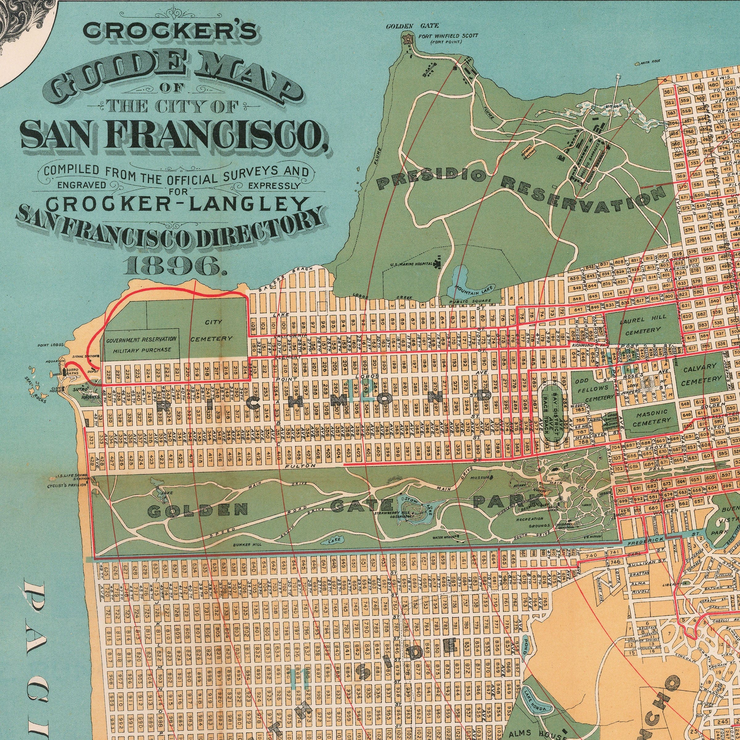
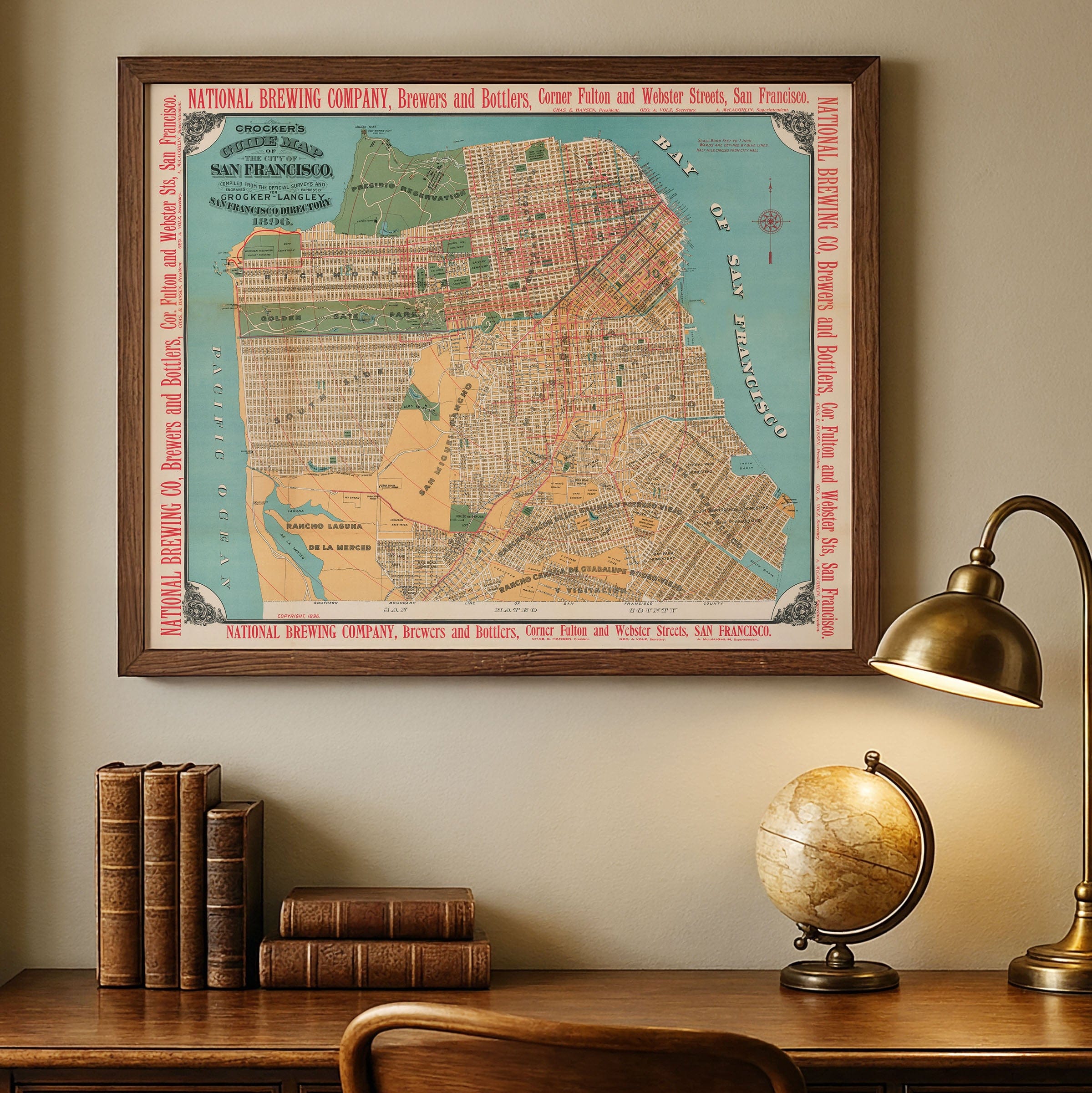
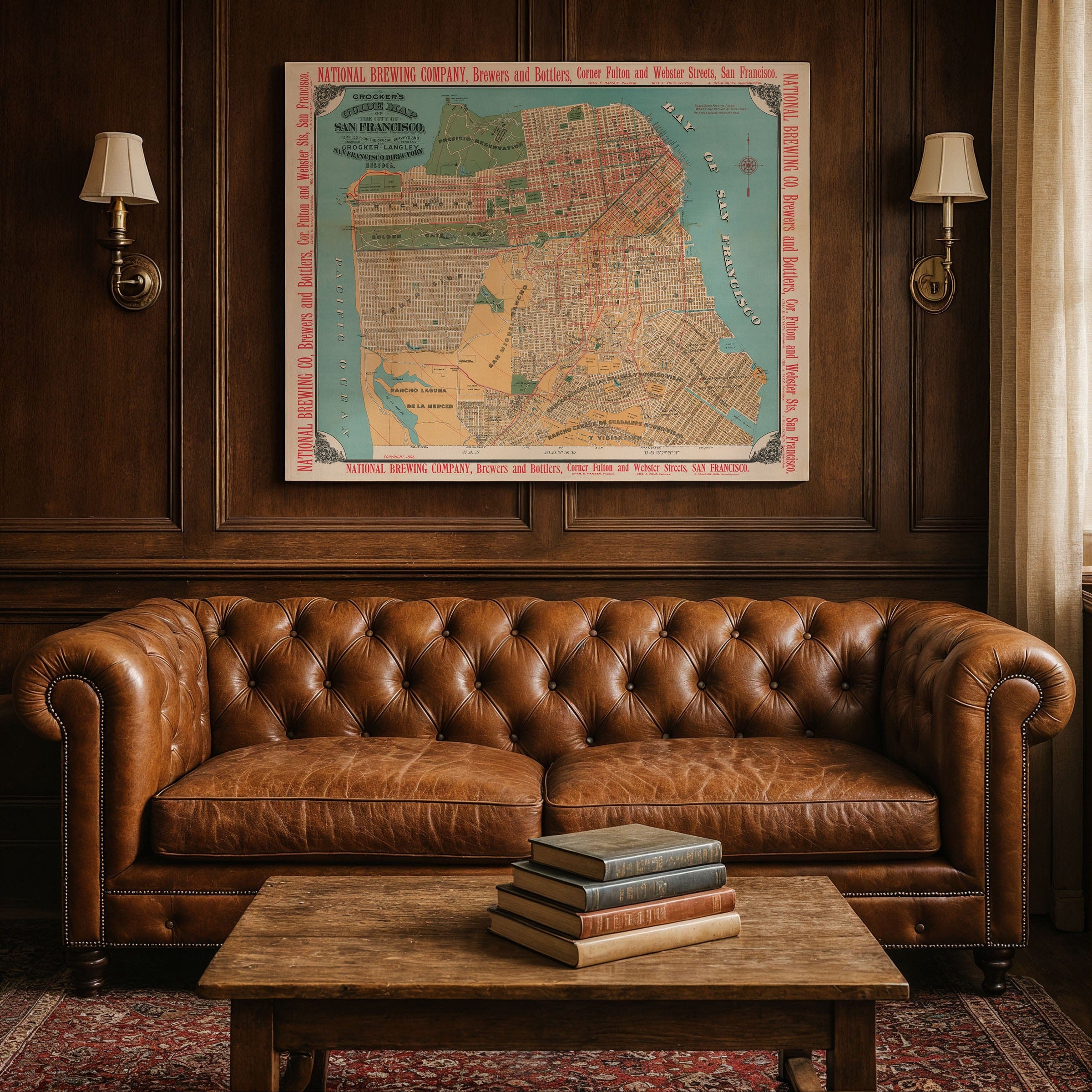
Discover the detailed City of San Francisco Map by Crocker-Langley, capturing San Francisco in 1896 as the ambitious capital of the Pacific coast—restless, wealthy, and expanding with self-assurance. This guide map preserves a city built on the momentum of gold, commerce, immigration, and invention. Its streets form an orderly grid across the peninsula, filling the land between bay and ocean with neighborhoods, parks, factories, and constant motion. What was once a raw frontier port now stands as a metropolis of global connection and booming enterprise.
Along the Bay of San Francisco in this City of San Francisco Map, the waterfront hums with activity. Slender piers extend like gateways to the world, crowded with steamers, schooners, and merchant ships bound for Alaska, Asia, and South America. At the foot of Market Street, ferryboats deliver workers and travelers from across the bay, feeding the city with movement. Cable cars clatter up steep grades toward Nob Hill and Russian Hill—steel cables conquering terrain that would have stopped ordinary transportation, turning geography into greatness.
Market Street slices diagonally through the grid in this City of San Francisco Map like a confident gesture, lined with theaters, department stores, hotels, and the hum of electric lights. Union Square reflects a desire for sophistication, while Chinatown—crowded and vibrant—remains a cornerstone of cultural identity, commerce, and resilience. Churches, schools, and civic halls stand among banks and warehouses, showing a community with both heart and ambition. To the northwest, the Presidio guards the Golden Gate, a military post overlooking the strait long before its iconic bridge connected land to sea.
Golden Gate Park spreads wide in this City of San Francisco Map beneath the ocean winds, transformed from dunes into lakes, meadows, and museums. South of Market, rail yards and factories form the city's industrial backbone, their tracks threading to wharves and depots. Farther south and west, ranch lands and open plots hint at neighborhoods yet to come—future streets already implied by the geometry of expansion.
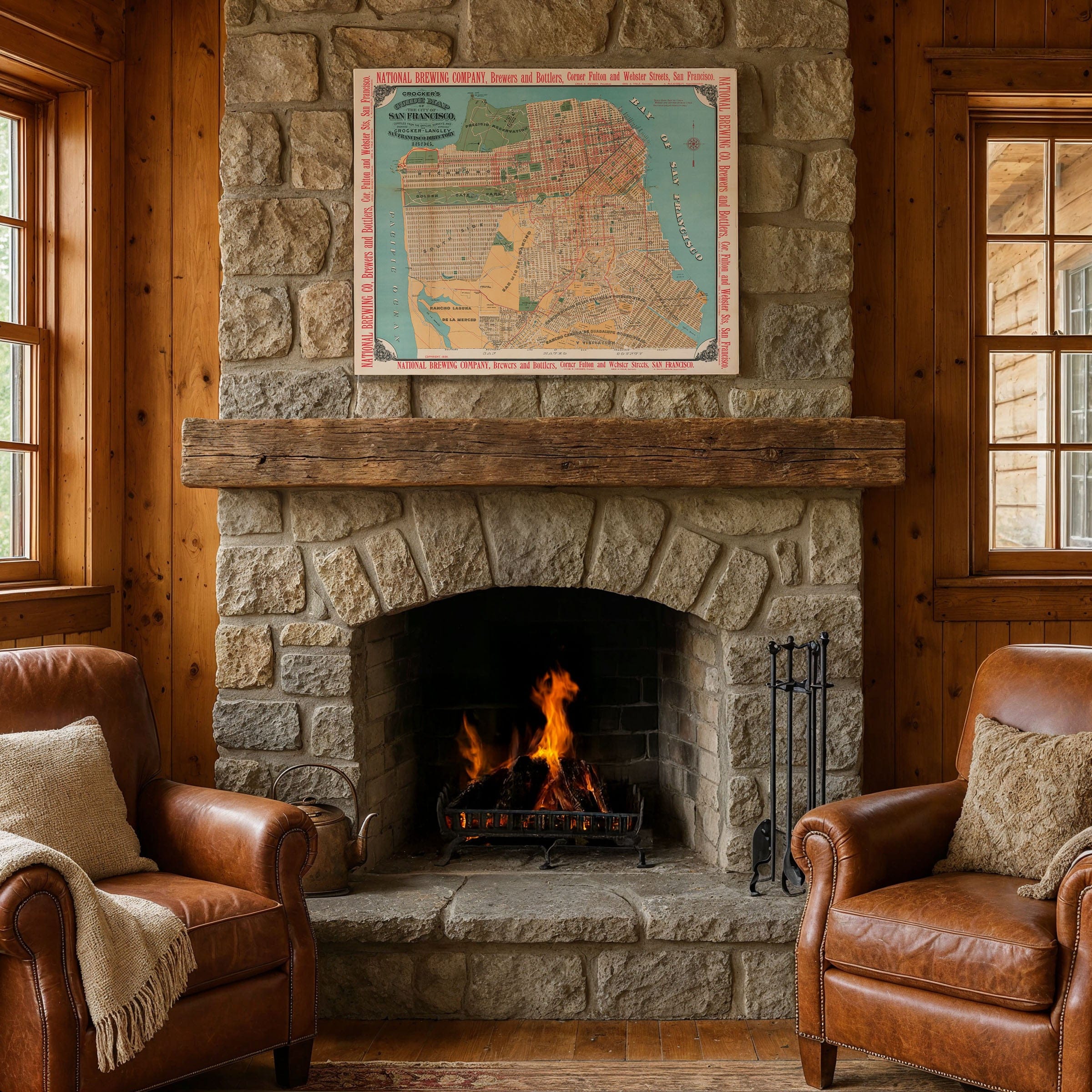
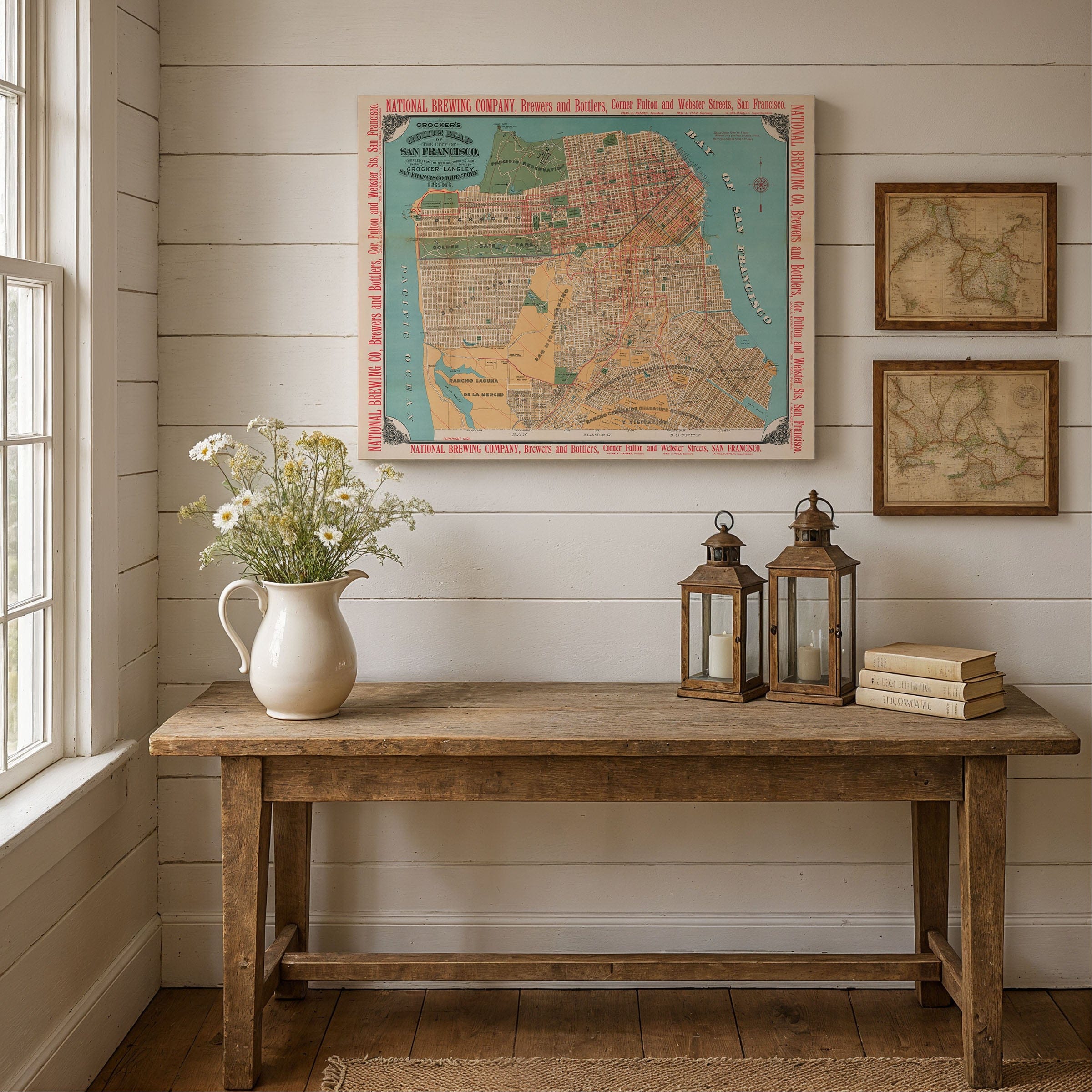
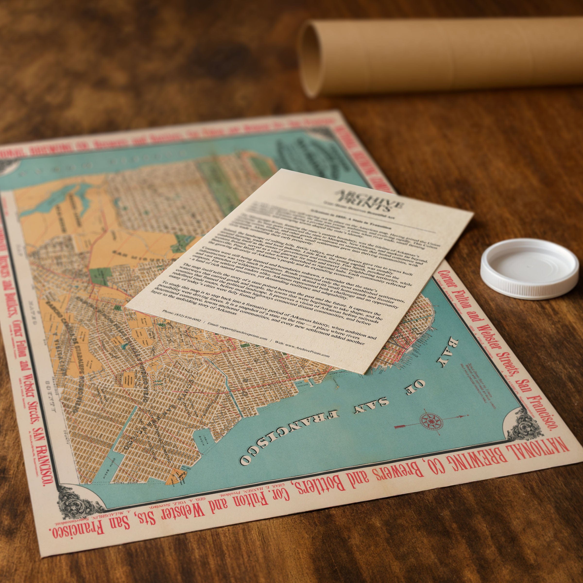
Perfect for San Francisco residents, California history enthusiasts, and collectors of pre-earthquake cartography, this City of San Francisco Map reproduction includes a custom historical certificate. Nine years before the great earthquake, San Francisco is shown proud and ascending, its skyline shaped by prosperity and its future gleaming with possibility. Printed on heavyweight archival paper or hand-stretched polycotton canvas, every street, pier, park, and cable car line is restored in museum-grade clarity for generations of enjoyment. Paper prints ship rolled in heavy-duty tubes, while canvas editions arrive gallery-wrapped on solid pine stretcher bars with pre-installed hardware—ready to display the moment it arrives. Bring home a piece of San Francisco history and celebrate the city at its confident peak.
The Map Story
Materials
Choose options

Because every place has a story
Make History Personal
A vintage map is more than art.
It is a reminder of where life began.
Where memories were made.
Where hearts still live. Give the gift of place.
Beautifully preserved and made for the moments that matter.
Why Choose Us?
| Feature | Us | Competitor A | Competitor B |
|---|---|---|---|
| Hand Crafted | |||
| Museum Quality | |||
| 100 Year Guarantee | |||
| Restored by Hand | |||
| Certificate of Authenticity |

Art Prints
Archival quality colors. Best option if you'd like to frame it yourself

The Best Materials
We hand-stretched our canvas on solid American-grown pine stretcher bars. We use quality canvas and fade-resistant inks to create the lasting art. Canvases come with hardware already installed and ready to hang.
Need help?
Frequently Asked Questions
Order
All of our maps are meticulously restored reproductions of historic originals. Each piece is digitally repaired and color-corrected to bring out the finest details while preserving its authentic, vintage character.
Yes. All Archive Prints products are printed to order in the USA with archival materials.
We offer two premium formats:
- High-Quality Paper Posters – Printed on thick, archival-grade matte paper for rich, vibrant detail.
- Hand-Stretched Canvas Prints – Printed on premium polycotton canvas and mounted on 1.5" solid American pine stretcher bars for a gallery-quality finish.
We carefully digitally restore each map to enhance clarity and color while preserving its original look and historic charm. You’ll enjoy sharp details and a timeless vintage aesthetic that feels true to the original piece.
Yes, we do! We offer premium framing options to make your map ready to hang the moment it arrives. You can choose from Oak, Maple, Black, or Walnut frames directly on the product page. We also offer Stretched Canvas prints for a modern gallery look, as well as archival-quality Posters if you prefer to frame it yourself.
Yes! We offer free shipping on all products within the United States. Each map is carefully packaged to ensure it arrives in perfect condition.
If you’re not completely satisfied, you can return your order in new condition for a full refund. Return shipping costs are the responsibility of the customer.
Absolutely! Our maps make thoughtful, one-of-a-kind gifts for history lovers, map collectors, or anyone looking to add vintage character to their home or office. Choose between paper prints for framing or stretched canvas for a ready-to-hang presentation.
- Paper Posters → Shipped in durable, protective tubes to prevent creasing.
- Canvas Prints → Carefully wrapped, padded, and boxed to ensure safe delivery.
Our maps look stunning in a variety of settings, including:
- Living rooms and home offices
- Libraries and studies
- Corporate offices and conference rooms
- Restaurants, cafes, and boutique spaces