
Cornell University Map - 1906 Campus Panoramic View
Cornell University Map
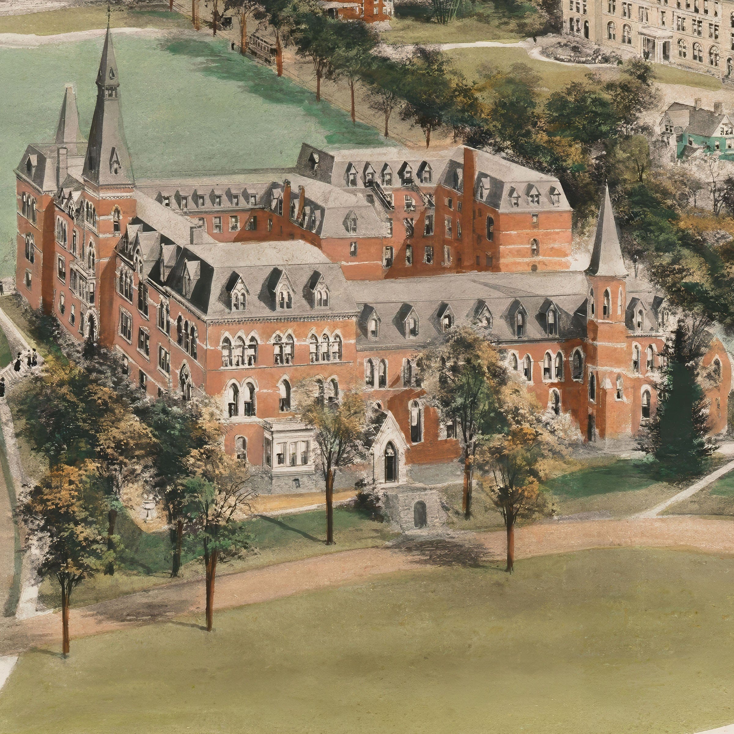
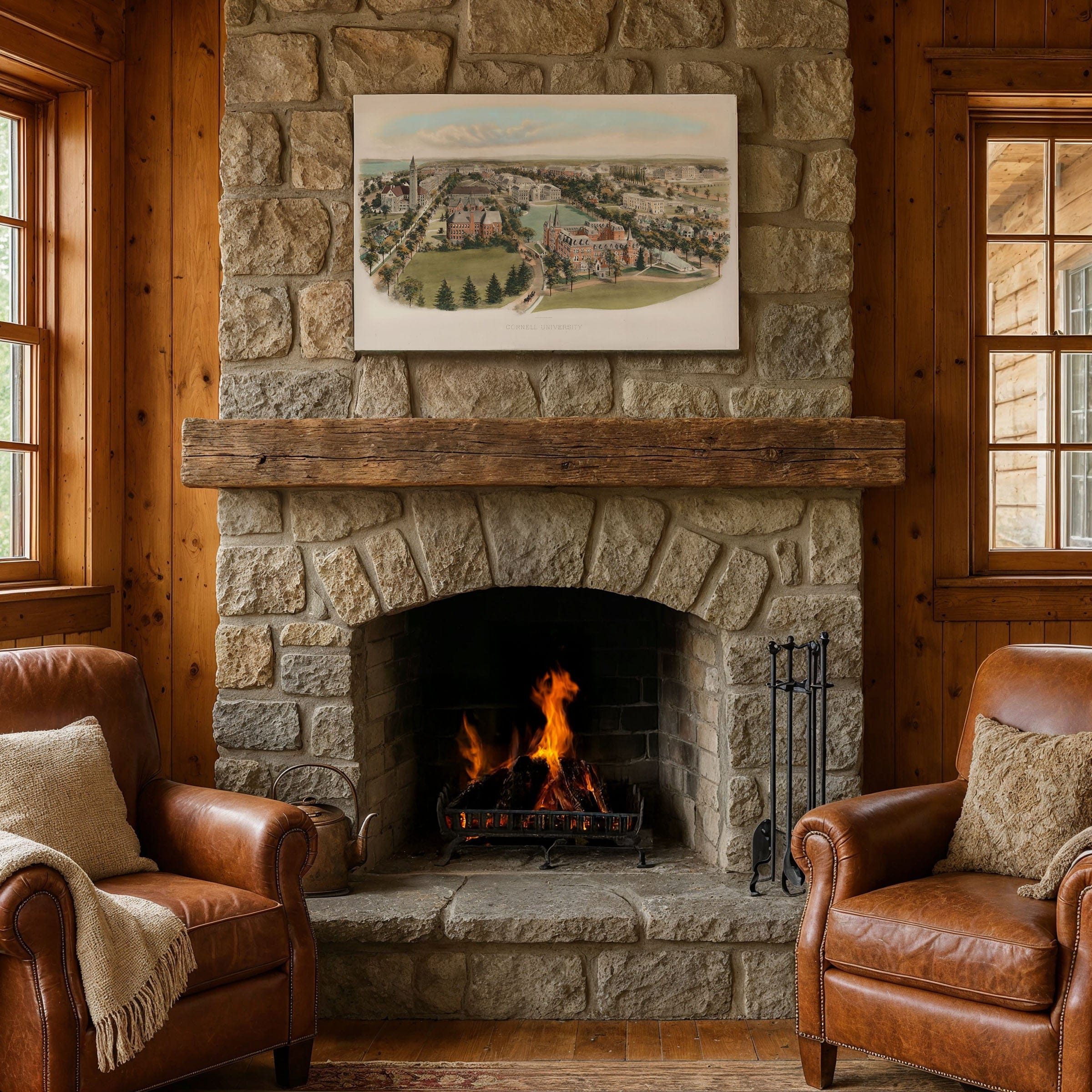
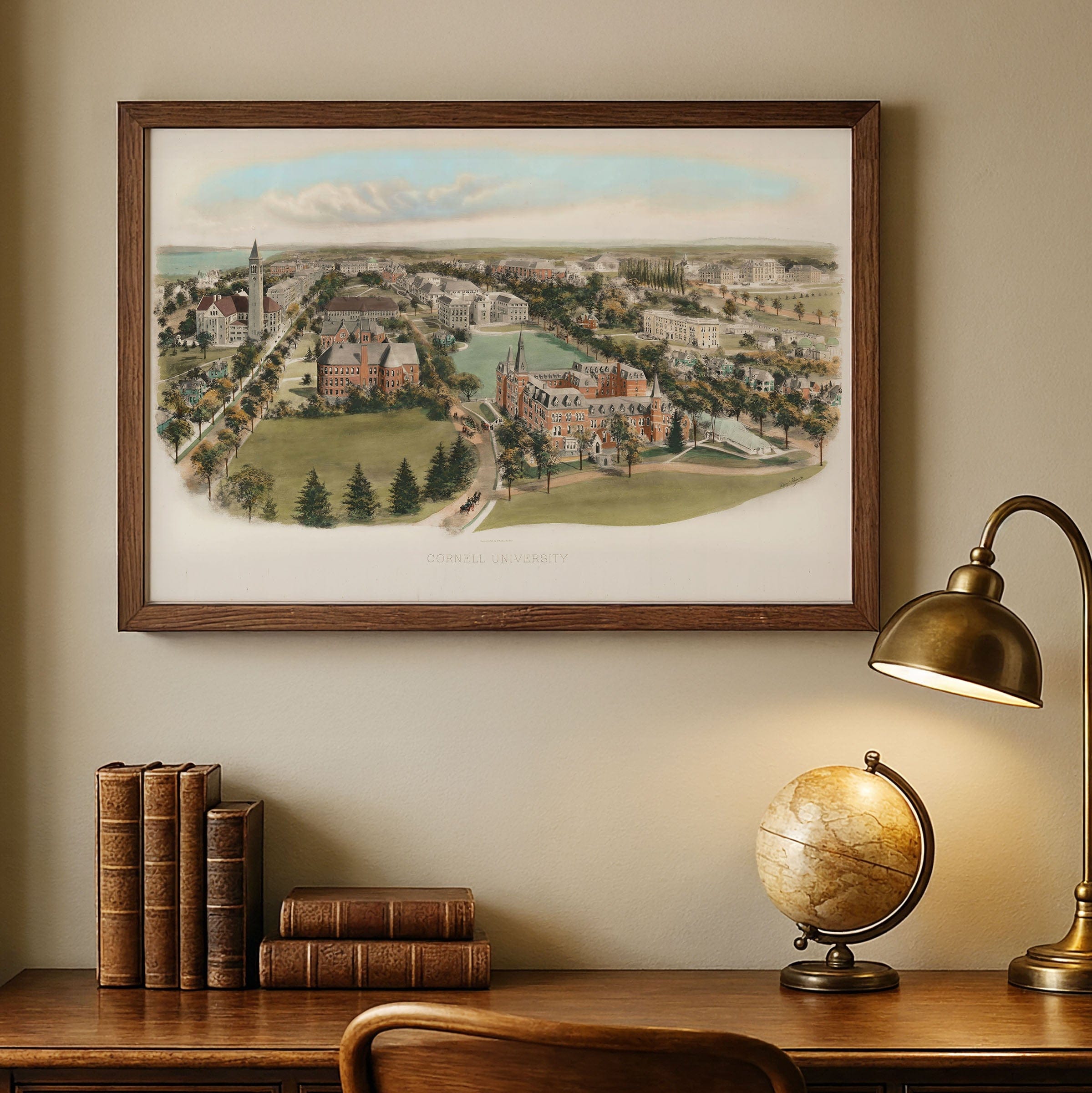
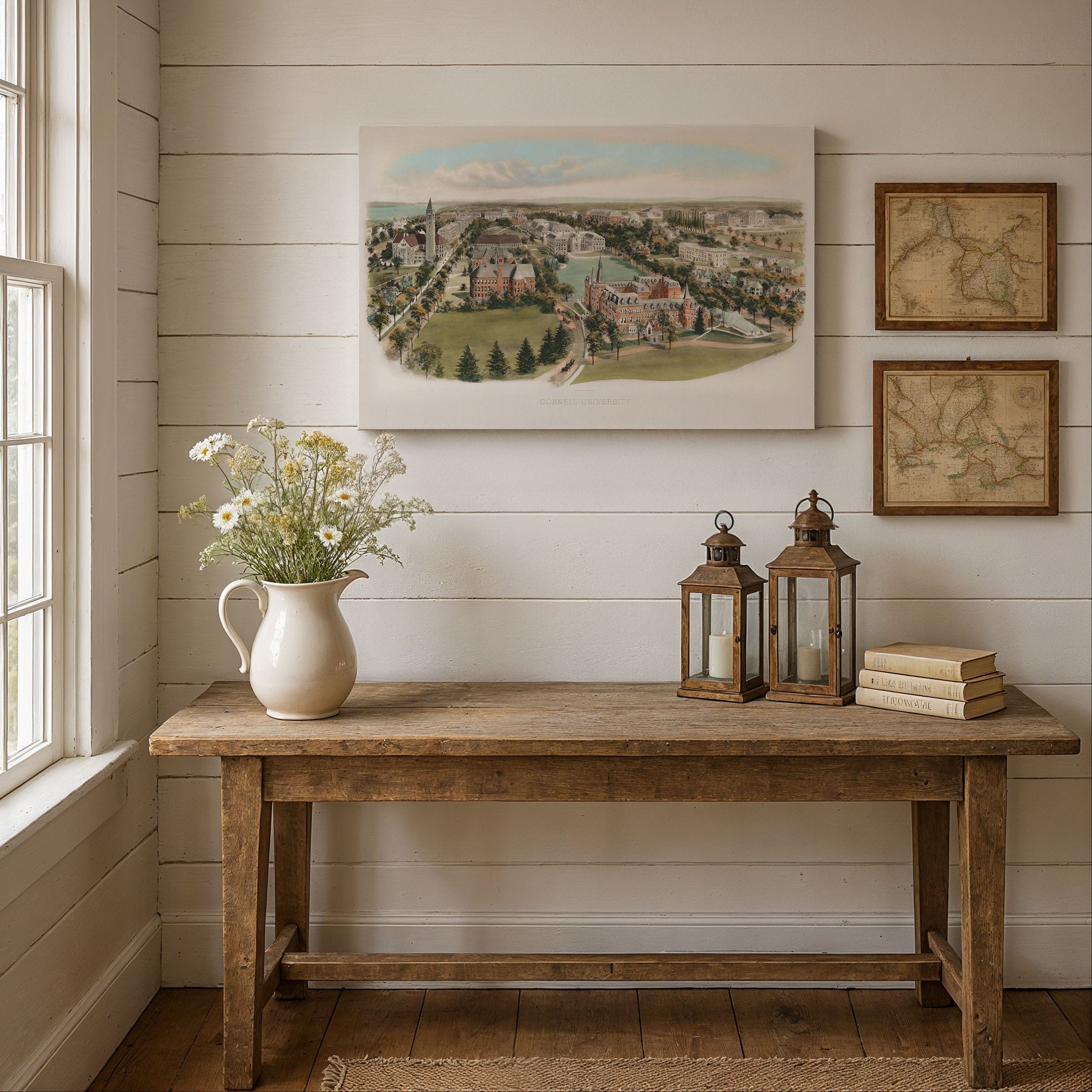
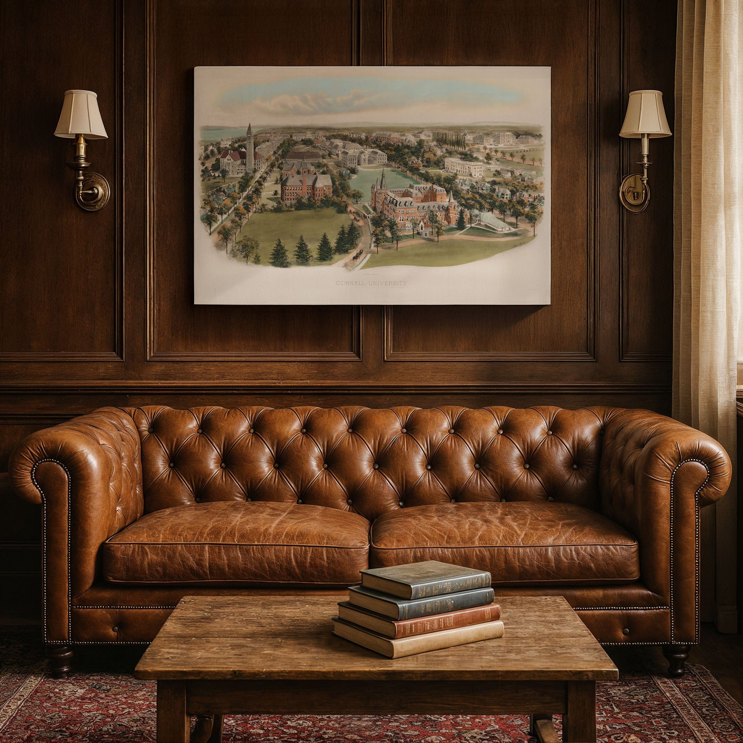
Step back to 1906 when this Cornell University Map captured the campus at a moment of confident expansion, when Ezra Cornell's bold promise of any person, any study was actively taking shape on the hillside overlooking Cayuga Lake. This isn't just a campus illustration—it's a portrait of one of America's most forward-thinking centers of learning, just over forty years old yet already regarded as a beacon of progressive education. Created by Richard Rummell, this panoramic view reveals a university already secure in its identity—progressive, growing, and committed to uniting practical knowledge with broad humanistic study. The Cornell University Map looks south across the emerging Arts Quad, the academic heart of the university. At its center rises McGraw Tower beside Uris Library, a symbol of scholarship and the aspirations of the growing campus. Along shaded walkways, students and faculty move between classes, their presence suggesting a lively and steadily maturing intellectual community. Framing the quad are the university's earliest academic buildings—Morrill Hall, White Hall, and Lincoln Hall—rendered with careful architectural detail. Their brick and stone facades reflect both the classical and Gothic influences that shaped American universities at the turn of the century. Nearby, Sibley Hall and its companions highlight the rise of engineering and the applied sciences, disciplines that would soon cement Cornell's national reputation. To the east, the sweeping Libe Slope rolls down toward the blue stretch of Cayuga Lake, anchoring the campus in its dramatic natural setting. The lake and distant hills evoke calm and inspiration, reminding viewers why this landscape has long been inseparable from the Cornell experience. Beyond the academic core, clusters of residences, fraternities, and faculty homes show a campus community that was quickly expanding. By 1906, Cornell was entering an era of rapid development, with new buildings rising and enrollment increasing each year. Rummell's drawing preserves that moment of optimism, inviting viewers into a campus alive with promise, proudly ascending its hillside home. Each reproduction includes a custom historical letter detailing the story behind the map, making it perfect for Cornell alumni, university collectors, and education enthusiasts. Printed on heavyweight archival paper or hand-stretched polycotton canvas, every building, pathway, and architectural detail is restored in museum-grade clarity for generations of enjoyment. Paper prints ship rolled in heavy-duty tubes, while canvas editions arrive gallery-wrapped on solid pine stretcher bars with pre-installed hardware—ready to display the moment it arrives. Bring home a piece of Cornell history and celebrate the university that united practical knowledge with humanistic study.
The Map Story
Materials
Choose options

Because every place has a story
Make History Personal
A vintage map is more than art.
It is a reminder of where life began.
Where memories were made.
Where hearts still live. Give the gift of place.
Beautifully preserved and made for the moments that matter.
Why Choose Us?
| Feature | Us | Competitor A | Competitor B |
|---|---|---|---|
| Hand Crafted | |||
| Museum Quality | |||
| 100 Year Guarantee | |||
| Restored by Hand | |||
| Certificate of Authenticity |

Art Prints
Archival quality colors. Best option if you'd like to frame it yourself

The Best Materials
We hand-stretched our canvas on solid American-grown pine stretcher bars. We use quality canvas and fade-resistant inks to create the lasting art. Canvases come with hardware already installed and ready to hang.
Need help?
Frequently Asked Questions
Order
All of our maps are meticulously restored reproductions of historic originals. Each piece is digitally repaired and color-corrected to bring out the finest details while preserving its authentic, vintage character.
Yes. All Archive Prints products are printed to order in the USA with archival materials.
We offer two premium formats:
- High-Quality Paper Posters – Printed on thick, archival-grade matte paper for rich, vibrant detail.
- Hand-Stretched Canvas Prints – Printed on premium polycotton canvas and mounted on 1.5" solid American pine stretcher bars for a gallery-quality finish.
We carefully digitally restore each map to enhance clarity and color while preserving its original look and historic charm. You’ll enjoy sharp details and a timeless vintage aesthetic that feels true to the original piece.
Yes, we do! We offer premium framing options to make your map ready to hang the moment it arrives. You can choose from Oak, Maple, Black, or Walnut frames directly on the product page. We also offer Stretched Canvas prints for a modern gallery look, as well as archival-quality Posters if you prefer to frame it yourself.
Yes! We offer free shipping on all products within the United States. Each map is carefully packaged to ensure it arrives in perfect condition.
If you’re not completely satisfied, you can return your order in new condition for a full refund. Return shipping costs are the responsibility of the customer.
Absolutely! Our maps make thoughtful, one-of-a-kind gifts for history lovers, map collectors, or anyone looking to add vintage character to their home or office. Choose between paper prints for framing or stretched canvas for a ready-to-hang presentation.
- Paper Posters → Shipped in durable, protective tubes to prevent creasing.
- Canvas Prints → Carefully wrapped, padded, and boxed to ensure safe delivery.
Our maps look stunning in a variety of settings, including:
- Living rooms and home offices
- Libraries and studies
- Corporate offices and conference rooms
- Restaurants, cafes, and boutique spaces