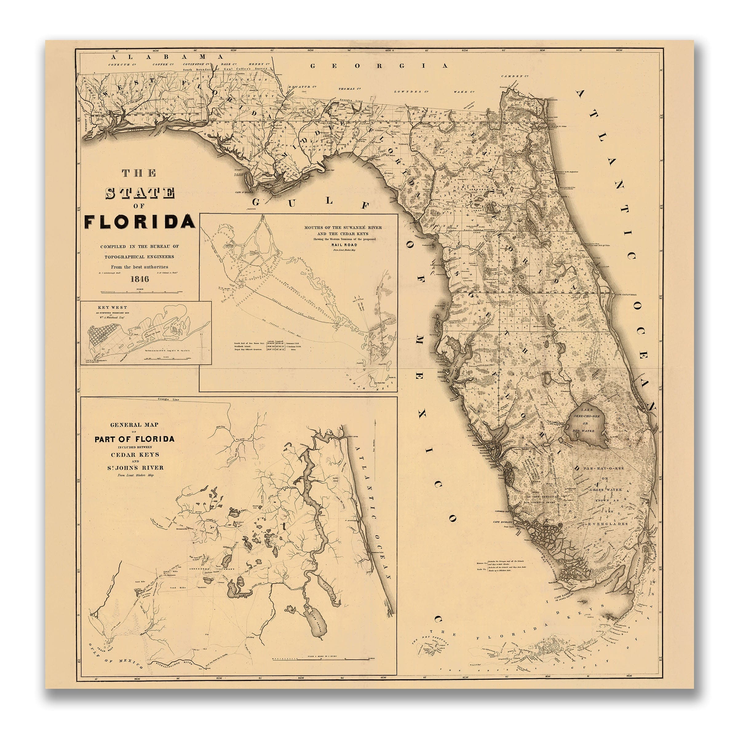

Florida Map 1846 - Topographical Engineers Survey
Florida Map 1846 - Early Statehood Survey
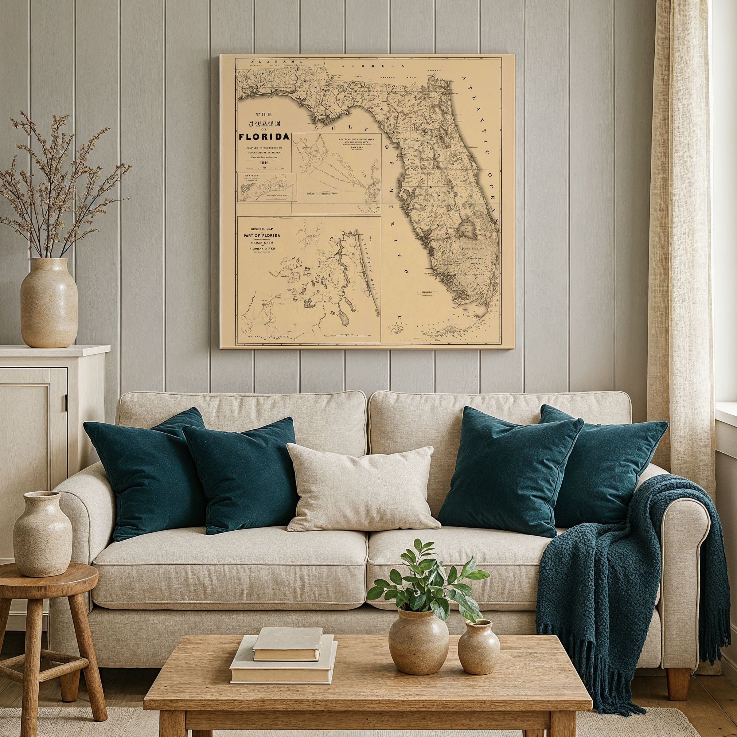
Discover Florida at a transformative moment with this remarkable Florida Map 1846, compiled by the U.S. Army's Bureau of Topographical Engineers just one year after statehood. This extraordinary Florida Map 1846 captures the vast Florida frontier when much of its interior remained uncharted wilderness, revealing a landscape defined by waterways, wetlands, and endless possibility rather than the cities we know today.
This historic Florida Map 1846 spans from the Perdido River to the Florida Keys, documenting settlement clustered along coasts and river corridors—Pensacola, Tallahassee, St. Augustine, and scattered military forts marking federal presence. The expansive interior tells a compelling story through its blank spaces: pine flatwoods, cypress swamps, and the great marshes that would become the Everglades. Rivers like the St. Johns, Suwannee, and Apalachicola flow like arteries through this frontier territory.
Detailed inset maps showcase emerging commercial centers: Key West as a vital maritime hub between the Old South and Caribbean, the Cedar Keys and Suwannee River mouth as early timber and naval stores harbors, and St. Johns River territory drawing settlers into Florida's contested heart. This Florida Map 1846 also bears witness to recent Seminole conflicts, with place names, forts, and boundaries reflecting a homeland under expansion pressure.
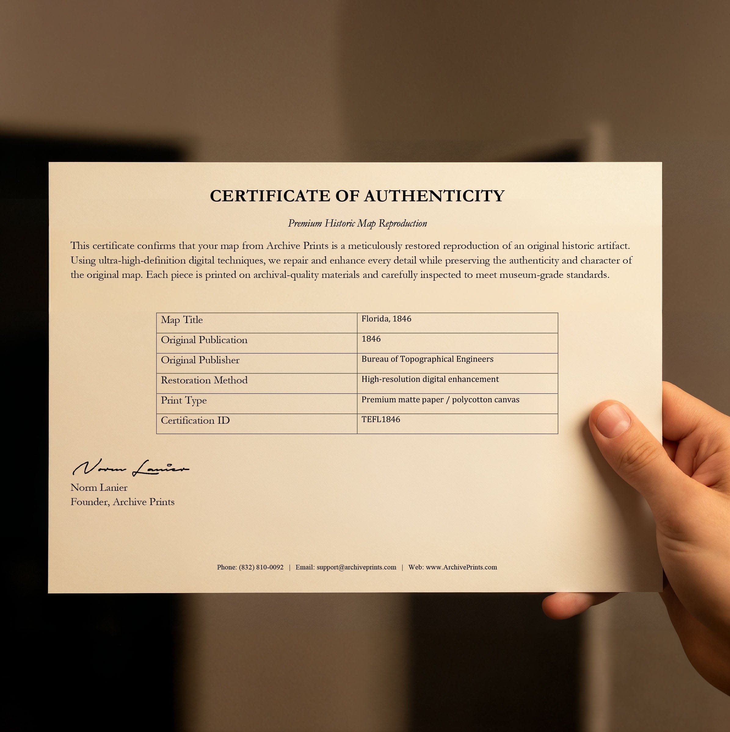
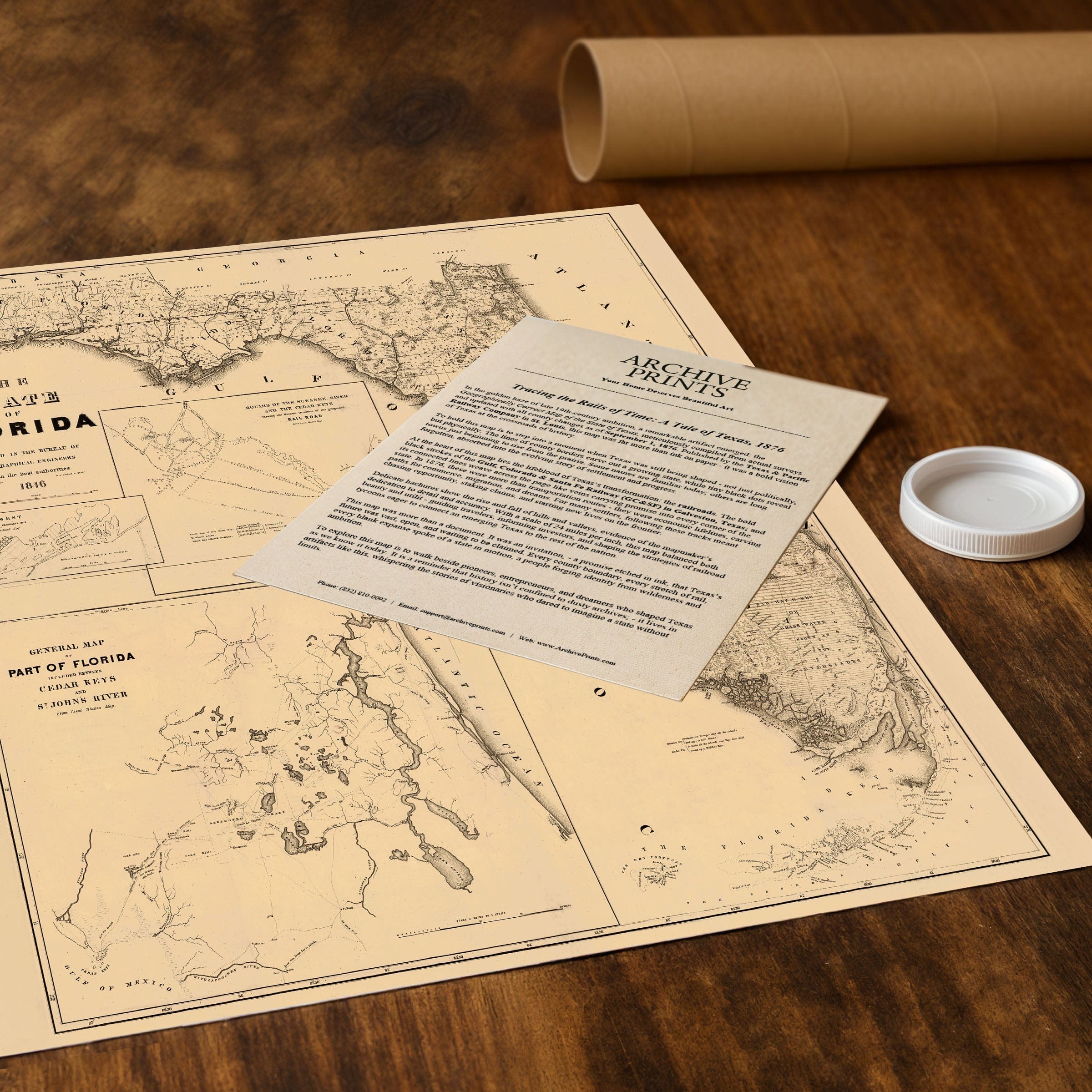
Each reproduction includes a custom historical letter detailing the map's significance, making it perfect for collectors, [location] history enthusiasts, and anyone with [region] connections. Printed on heavyweight archival paper or premium canvas, every [relevant detail] is preserved with museum-quality clarity through expert digital restoration.
For protection and presentation, paper prints arrive rolled in sturdy mailing tubes, while canvas prints come gallery-wrapped on solid pine stretcher bars with pre-installed hanging hardware. Framed prints are protected under crystal-clear acrylic and arrive ready to hang—perfect for immediate display.
Perfect for Florida history enthusiasts, cartography collectors, and anyone fascinated by America's frontier era, this museum-quality reproduction of the Florida Map 1846 brings a pivotal moment in Florida history to stunning life with exceptional clarity and historical authenticity.
The Map Story
Materials
Choose options

Because every place has a story
Make History Personal
A vintage map is more than art.
It is a reminder of where life began.
Where memories were made.
Where hearts still live. Give the gift of place.
Beautifully preserved and made for the moments that matter.
Why Choose Us?
| Feature | Us | Competitor A | Competitor B |
|---|---|---|---|
| Hand Crafted | |||
| Museum Quality | |||
| 100 Year Guarantee | |||
| Restored by Hand | |||
| Certificate of Authenticity |

Art Prints
Archival quality colors. Best option if you'd like to frame it yourself

The Best Materials
We hand-stretched our canvas on solid American-grown pine stretcher bars. We use quality canvas and fade-resistant inks to create the lasting art. Canvases come with hardware already installed and ready to hang.
Need help?
Frequently Asked Questions
Order
All of our maps are meticulously restored reproductions of historic originals. Each piece is digitally repaired and color-corrected to bring out the finest details while preserving its authentic, vintage character.
Yes. All Archive Prints products are printed to order in the USA with archival materials.
We offer two premium formats:
- High-Quality Paper Posters – Printed on thick, archival-grade matte paper for rich, vibrant detail.
- Hand-Stretched Canvas Prints – Printed on premium polycotton canvas and mounted on 1.5" solid American pine stretcher bars for a gallery-quality finish.
We carefully digitally restore each map to enhance clarity and color while preserving its original look and historic charm. You’ll enjoy sharp details and a timeless vintage aesthetic that feels true to the original piece.
Yes, we do! We offer premium framing options to make your map ready to hang the moment it arrives. You can choose from Oak, Maple, Black, or Walnut frames directly on the product page. We also offer Stretched Canvas prints for a modern gallery look, as well as archival-quality Posters if you prefer to frame it yourself.
Yes! We offer free shipping on all products within the United States. Each map is carefully packaged to ensure it arrives in perfect condition.
If you’re not completely satisfied, you can return your order in new condition for a full refund. Return shipping costs are the responsibility of the customer.
Absolutely! Our maps make thoughtful, one-of-a-kind gifts for history lovers, map collectors, or anyone looking to add vintage character to their home or office. Choose between paper prints for framing or stretched canvas for a ready-to-hang presentation.
- Paper Posters → Shipped in durable, protective tubes to prevent creasing.
- Canvas Prints → Carefully wrapped, padded, and boxed to ensure safe delivery.
Our maps look stunning in a variety of settings, including:
- Living rooms and home offices
- Libraries and studies
- Corporate offices and conference rooms
- Restaurants, cafes, and boutique spaces