

Harris County Vintage Map - Authentic 1879 Texas General Land Office Map
Explore the Beauty of History with Our Harris County Vintage Map
Discover the rich history of Harris County with our exquisite Harris County vintage map, dating back to 1879. This captivating piece is not just a map; it's a journey back in time, illustrating the original settlements and land surveys that laid the foundation for modern Houston and its surrounding areas.
Crafted with meticulous attention to detail by the Texas General Land Office, this vintage map offers a unique perspective on the geography and topography of Harris County over a century ago. Perfect for history lovers, collectors, and anyone looking to add a touch of vintage charm to their home décor, this map is a must-have!
Key Features of the Harris County Vintage Map
- Authentic Vintage Design: The map boasts a unique vintage style, complete with aged textures and historical details that capture the essence of the era.
- High-Quality Print: Available in various sizes, our high-resolution prints ensure that every detail is sharp, making it perfect for framing.
- Educational Value: This map serves as an excellent educational tool, providing insights into the history of land ownership and development in Harris County.
- Perfect Gift Idea: A thoughtful gift for historians, educators, or anyone with a love for Texas history and local culture.
Why Choose Our Harris County Vintage Map?
When it comes to vintage maps, authenticity and accuracy are essential. Our Harris County vintage map is carefully reproduced from the original 1879 edition, ensuring that you receive a piece that not only looks stunning but is also historically significant. Each map is printed using high-quality archival inks to guarantee longevity and vibrancy.
One of the standout features of this map is its detailed presentation of various landmarks, waterways, and towns that were in existence during the late 1800s. Explore the original layout of Houston as it was laid out in the 19th century, including first-hand documentation of property lines and land grants. For history enthusiasts, architects, and city planners, this map provides an invaluable resource for understanding the evolution of Harris County.
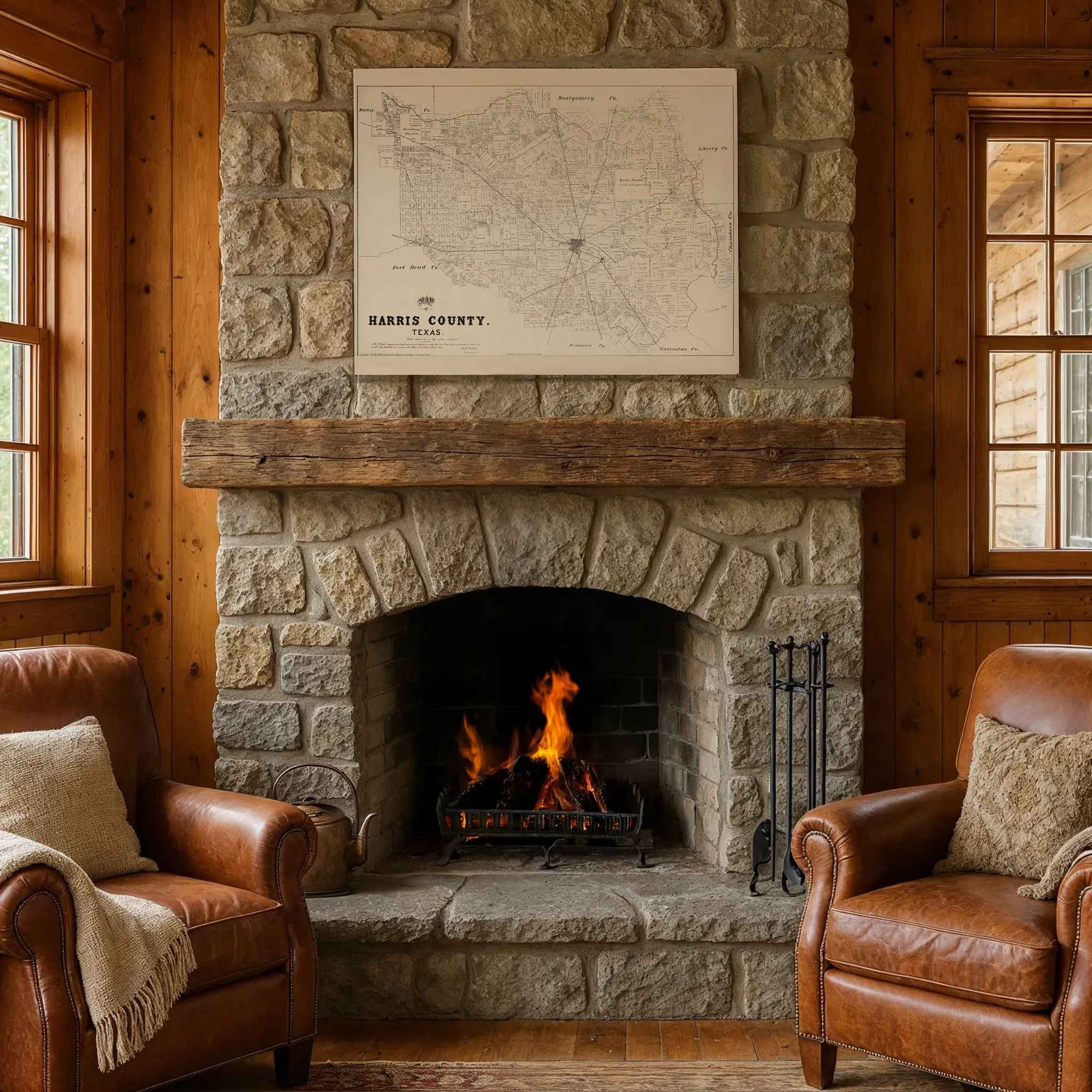
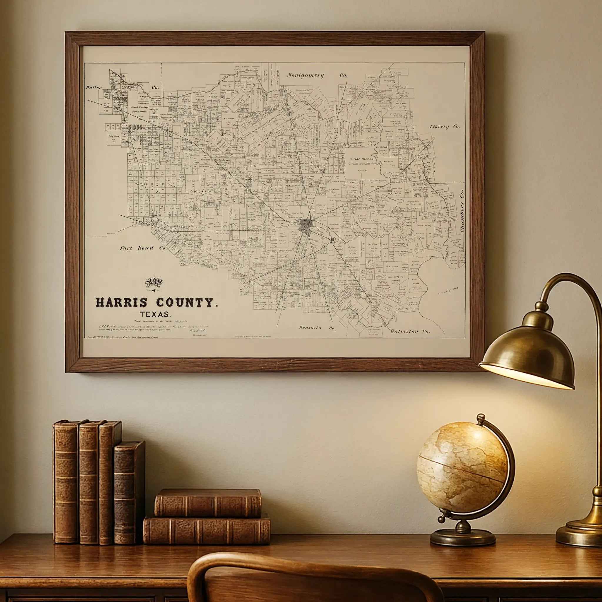
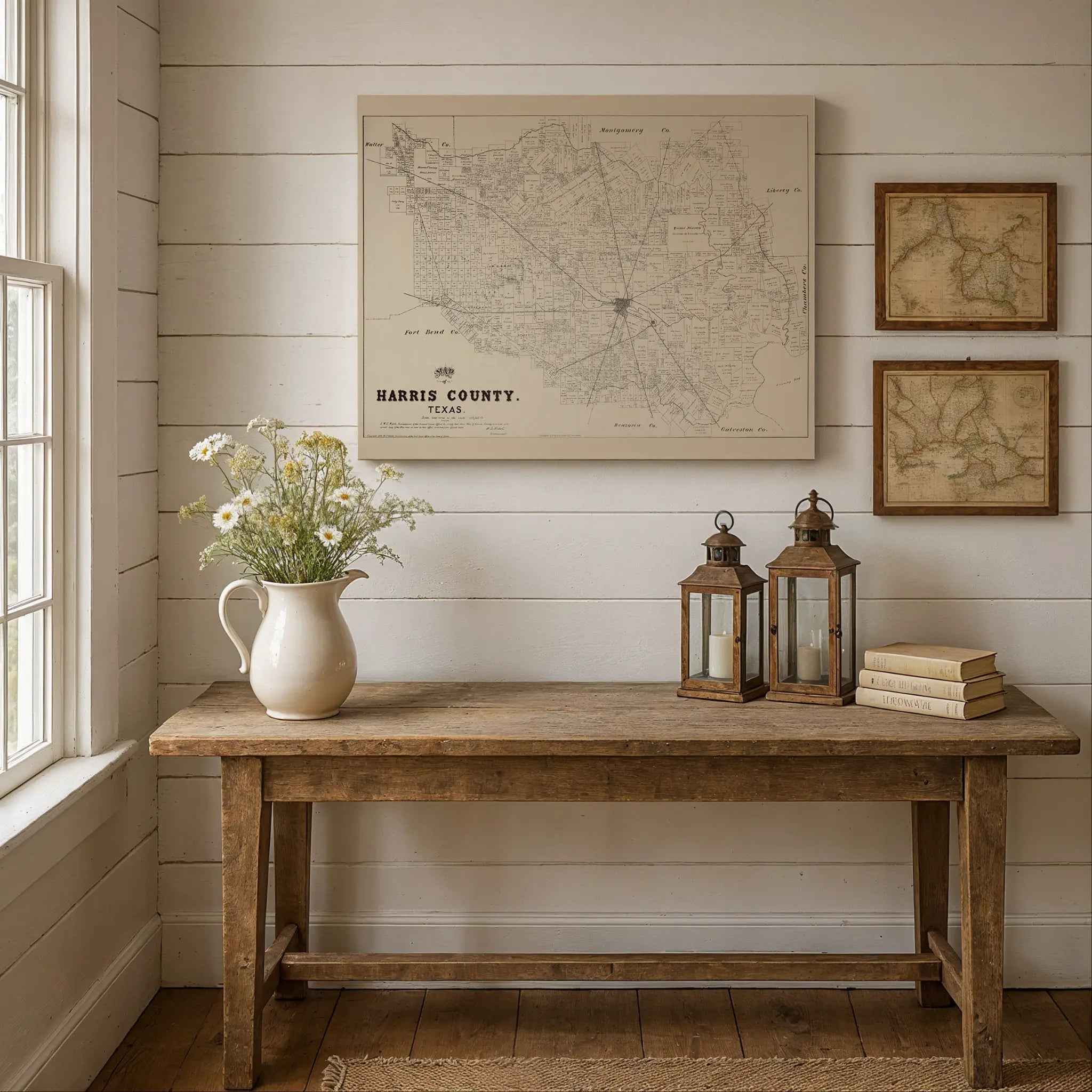
Perfect Decoration for Any Space
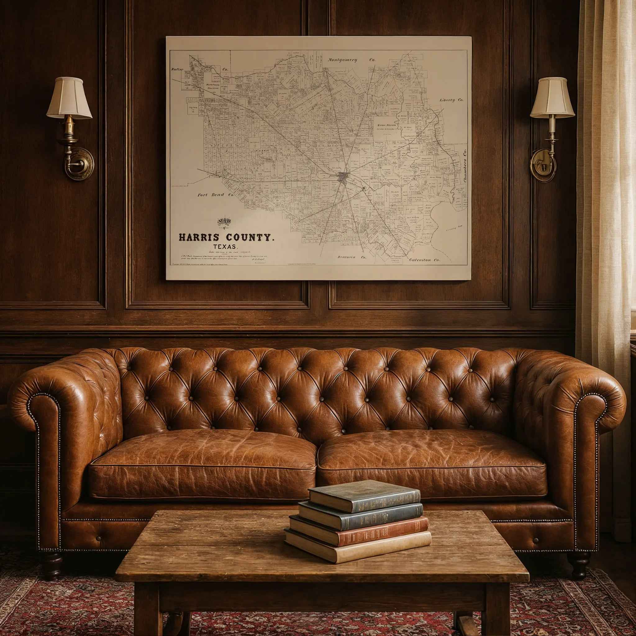
Whether you place it in your office, living room, or library, this Harris County vintage map serves as a striking decorative piece. Its classic design complements both modern and traditional aesthetics, making it suitable for any interior décor. Framing this vibrant map can turn it into a stunning centerpiece that sparks conversation and admiration from guests.
Imagine showcasing this elegant artwork in your space—each glance a reminder of the rich history embedded in the fabric of Harris County. It’s not just wall art; it’s a storytelling masterpiece.
Preserving History with Modern Techniques
We understand the importance of preserving historical artifacts while making them accessible for future generations. Our printing process combines the best of modern technology with respect for the original designs. We take pride in presenting an accurate representation of the 1879 map while ensuring the preservation of its essence and style.
Enjoy the fine details that come alive, from the carefully crafted typography to the intricate borders. Each map mirrors the aesthetic of the time, offering you a genuine artifact that fits seamlessly into today’s world.
Shop with Confidence
When you purchase a Harris County vintage map from us, you can shop with confidence, knowing you are receiving a genuine product. Our customer service is dedicated to ensuring you are satisfied with your purchase from start to finish. We are here to answer any questions or provide assistance as needed.
So why hesitate? Add a touch of history to your home today! This vintage map is not just a decorative piece; it's an investment in the past. Order yours now and own a piece of Harris County's rich heritage.
Let the adventure of history begin right on your wall! Click the button below to purchase your own Harris County vintage map.
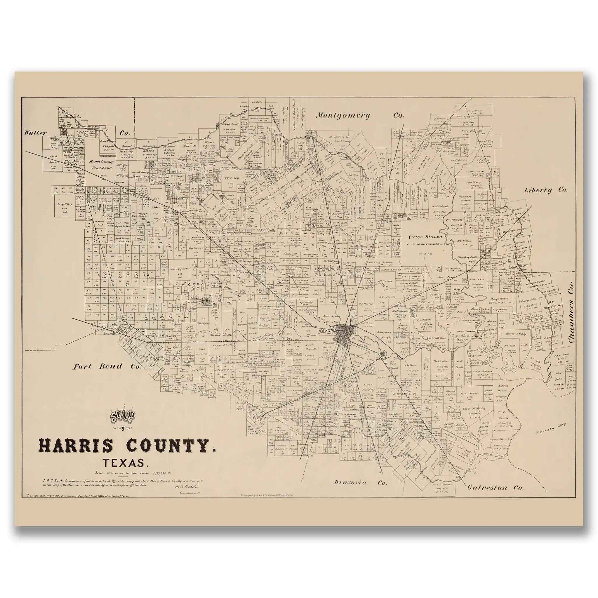
The Map Story
In 1879 Harris County stood at a turning point. Compiled under W. C. Walsh, Commissioner of the Texas General Land Office, this county map draws on survey notes and courthouse filings to show a region that still felt rural but was already tilting toward city ambition. Houston anchors the center like a hub, with roads and rail lines stretching to farms, timber camps, and bayside settlements.
The sheet is crowded with titled land grants that reach back to the Mexican period and the Republic of Texas. Large tracts such as the Victor Blanco grant and the Harrisburg surveys sit beside dozens of smaller patents. These rectangles show how settlement advanced lot by lot into prairie, bottomland, and pine woods. Communities that modern residents still know appear as tight clusters of lots along bayous and roads: Harrisburg, Lynchburg, Cypress, Spring, and San Jacinto. Houston occupies a bend of Buffalo Bayou near its junction with White Oak Bayou, a site that let shallow draft boats reach town and carry inland trade to Galveston Bay.
Railroads tell the story of acceleration. The Houston and Texas Central pushed northward. The Galveston, Harrisburg and San Antonio linked the city to the coast and markets to the west. The Houston East and West Texas tapped the pine country. With these lines, farms, mills, and wharves gained steady outlets for cotton, timber, cattle, and grain. Stations and sidings sprouted new towns.
Waterways remain everywhere in view. Buffalo Bayou winds toward the channel that later would carry ocean traffic. The San Jacinto River and Cedar Bayou mark the east side with marshes and oyster grounds that fed local families. Near the confluence of river and bay sits the field of the 1836 Battle of San Jacinto, a place of memory and a guide for ferries and freight in the 1870s.
The county shown here predates oil booms and skyscrapers, yet the seeds of the modern metropolis are clear. Survey lines order the land, rail corridors concentrate growth, and water ties everything to wider trade. The map functions as both legal register and portrait. It notes homesteads, pastures, timber lots, and town blocks at the moment Houston began to emerge as the economic engine of Texas. More than a technical diagram, it is a record of how people shaped a coastal plain and how that plain shaped their fortunes.
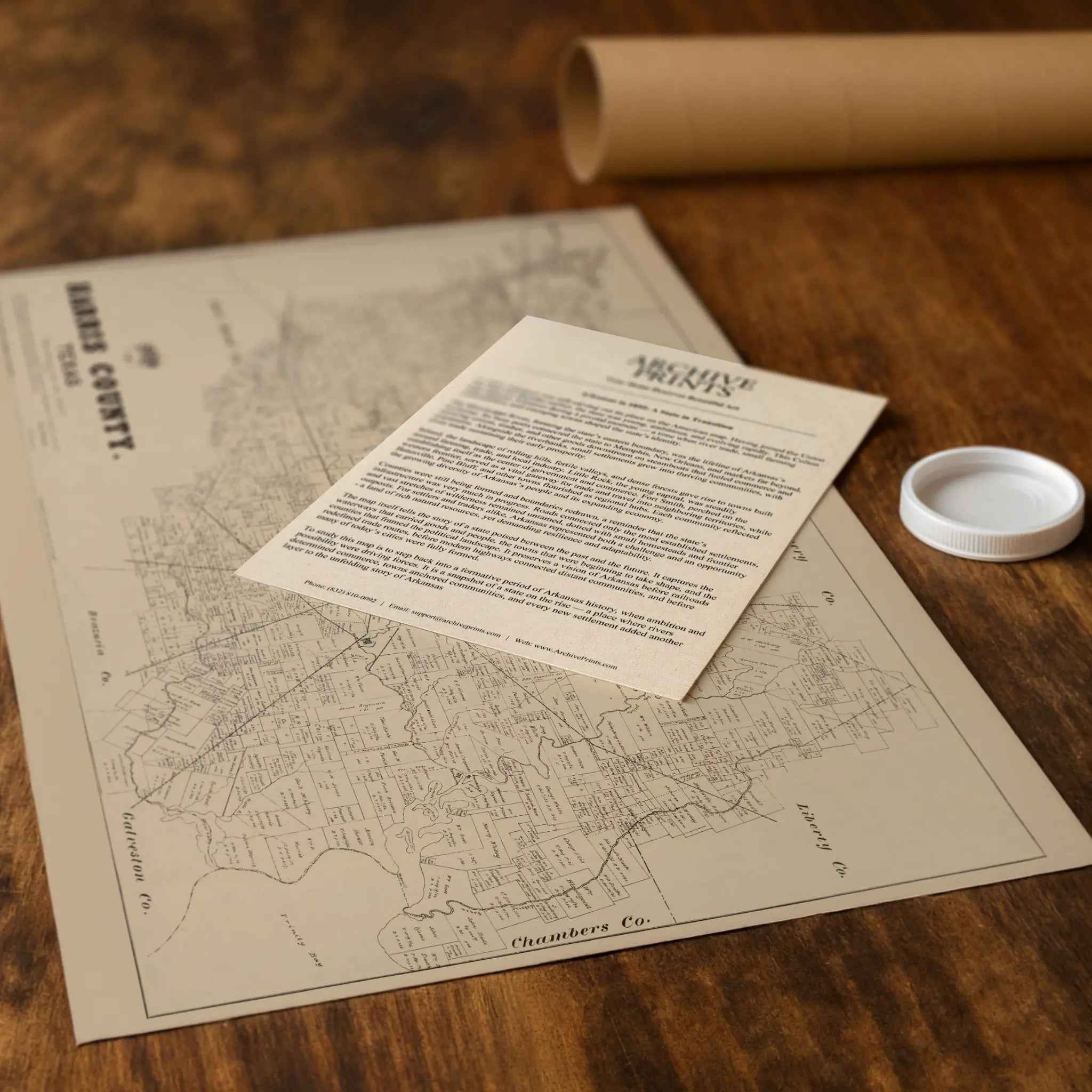
Materials
Hand‑Stretched Canvas: If you choose canvas, we use a premium cotton‑poly blend stretched over solid pine frames. Each canvas is carefully hand‑stretched for a tight, gallery‑quality finish that's ready to hang right out of the box.
Vivid, Fade‑Resistant Inks: We use professional‑grade inks that are UV‑resistant, so your print retains its rich colors even when displayed in bright rooms.
Expert Restoration: Every patent diagram is digitally restored by skilled artisans. We preserve the character of the original while enhancing clarity, so you see the technical details as they were meant to be seen.
Secure Packaging: Paper prints are rolled in heavy‑duty mailing tubes, and canvases are cushioned in reinforced boxes to ensure they arrive in pristine condition.
Choosing one of our prints means investing in craftsmanship. We combine historical authenticity with modern print technology and premium materials, giving you a work of art built to stand the test of time.
Choose options

Because every place has a story
Make History Personal
A vintage map is more than art.
It is a reminder of where life began.
Where memories were made.
Where hearts still live. Give the gift of place.
Beautifully preserved and made for the moments that matter.
Why Choose Us?
| Feature | Us | Competitor A | Competitor B |
|---|---|---|---|
| Hand Crafted | |||
| Museum Quality | |||
| 100 Year Guarantee | |||
| Restored by Hand | |||
| Certificate of Authenticity |

Art Prints
Archival quality colors. Best option if you'd like to frame it yourself

The Best Materials
We hand-stretched our canvas on solid American-grown pine stretcher bars. We use quality canvas and fade-resistant inks to create the lasting art. Canvases come with hardware already installed and ready to hang.
Need help?
Frequently Asked Questions
Order
All of our maps are meticulously restored reproductions of historic originals. Each piece is digitally repaired and color-corrected to bring out the finest details while preserving its authentic, vintage character.
Yes. All Archive Prints products are printed to order in the USA with archival materials.
We offer two premium formats:
- High-Quality Paper Posters – Printed on thick, archival-grade matte paper for rich, vibrant detail.
- Hand-Stretched Canvas Prints – Printed on premium polycotton canvas and mounted on 1.5" solid American pine stretcher bars for a gallery-quality finish.
We carefully digitally restore each map to enhance clarity and color while preserving its original look and historic charm. You’ll enjoy sharp details and a timeless vintage aesthetic that feels true to the original piece.
Yes, we do! We offer premium framing options to make your map ready to hang the moment it arrives. You can choose from Oak, Maple, Black, or Walnut frames directly on the product page. We also offer Stretched Canvas prints for a modern gallery look, as well as archival-quality Posters if you prefer to frame it yourself.
Yes! We offer free shipping on all products within the United States. Each map is carefully packaged to ensure it arrives in perfect condition.
If you’re not completely satisfied, you can return your order in new condition for a full refund. Return shipping costs are the responsibility of the customer.
Absolutely! Our maps make thoughtful, one-of-a-kind gifts for history lovers, map collectors, or anyone looking to add vintage character to their home or office. Choose between paper prints for framing or stretched canvas for a ready-to-hang presentation.
- Paper Posters → Shipped in durable, protective tubes to prevent creasing.
- Canvas Prints → Carefully wrapped, padded, and boxed to ensure safe delivery.
Our maps look stunning in a variety of settings, including:
- Living rooms and home offices
- Libraries and studies
- Corporate offices and conference rooms
- Restaurants, cafes, and boutique spaces