
Napa Valley Vintage Map - Authentic 1895 County Map for Collectors
Napa Valley Vintage Map
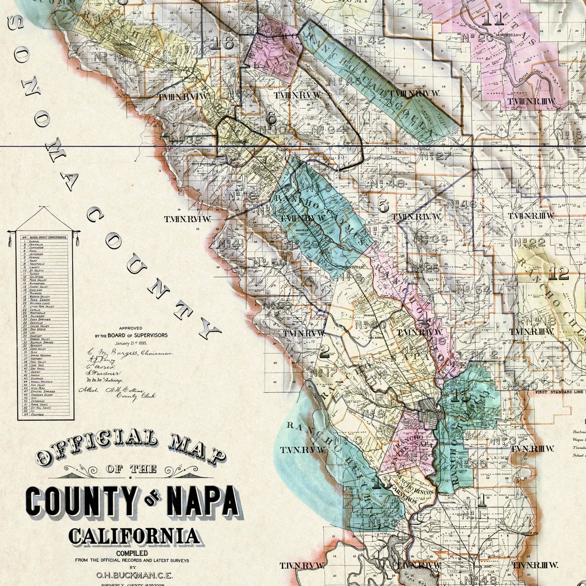
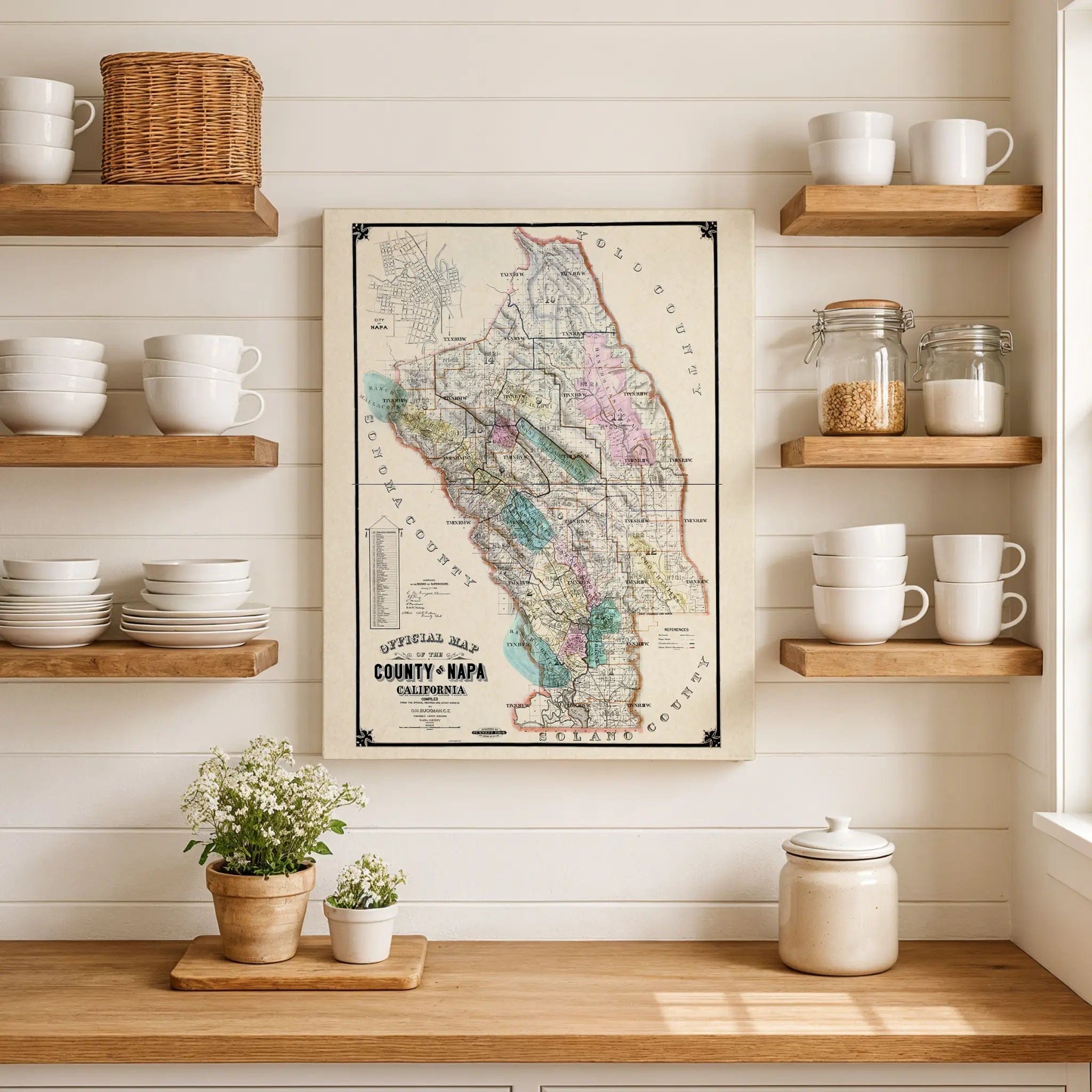
Step back into the heart of California's wine region with this beautifully restored 1895 Official Map of Napa County, originally compiled by O.H. Buckman, C.E., under the authority of the Napa County Board of Supervisors. This striking historical map captures Napa at a transformative moment in its past—when orchards, farms, and early vineyards were beginning to define a landscape that would one day become world-famous. Every township, land parcel, and ranch boundary reflects the pioneering spirit of those who cultivated these fertile valleys into one of the world's most celebrated wine regions.
Historical Significance
Created during the late 19th century, this map showcases the precision and artistry of California's early surveyors during a pivotal period in Napa Valley's development. By the 1890s, Napa County had evolved from a frontier outpost into one of California's most prosperous agricultural regions, with the fertile soil and Mediterranean climate fueling the rise of viticulture. This map preserves that transformative moment when the foundation of modern Napa Valley was being laid, documenting the transition from general agriculture to the specialized wine industry that would make the region world-famous.
Cartographic Excellence
The meticulous craftsmanship of O.H. Buckman's survey work is evident in every detail of this official county map. Townships, land parcels, and ranch boundaries are precisely outlined, while soft pastel color washes distinguish districts and valleys with remarkable clarity. The developing city of Napa is rendered in fine detail, showing its orderly streets, nearby rail lines, and surrounding agricultural lands that reveal a region on the rise. Each township, from St. Helena to Calistoga, reflects the area's agricultural expansion and the careful planning that would shape the valley's future.
Agricultural Legacy Story
This map stands as a chronicle of transformation, documenting the moment when Napa Valley's legendary wine industry was taking root among rolling hills and river plains. The careful delineation of property boundaries and agricultural districts captures the pioneering ambition of early vintners and farmers who recognized the exceptional potential of this Mediterranean climate and fertile soil. The precision of the survey work reflects the serious investment and long-term vision that would transform these valleys into one of the world's premier wine regions.
A Vision of California's Wine Country
Beyond its cartographic beauty, this map represents the foundation of American wine culture, capturing Napa Valley when it was beginning its journey toward international recognition. The detailed rendering of townships, vineyards, and agricultural lands reflects a community that prospered by combining traditional farming wisdom with innovative viticulture techniques. The balance between precise surveying and artistic presentation shows a region that succeeded by honoring both scientific accuracy and natural beauty.
A Piece of Wine Country History
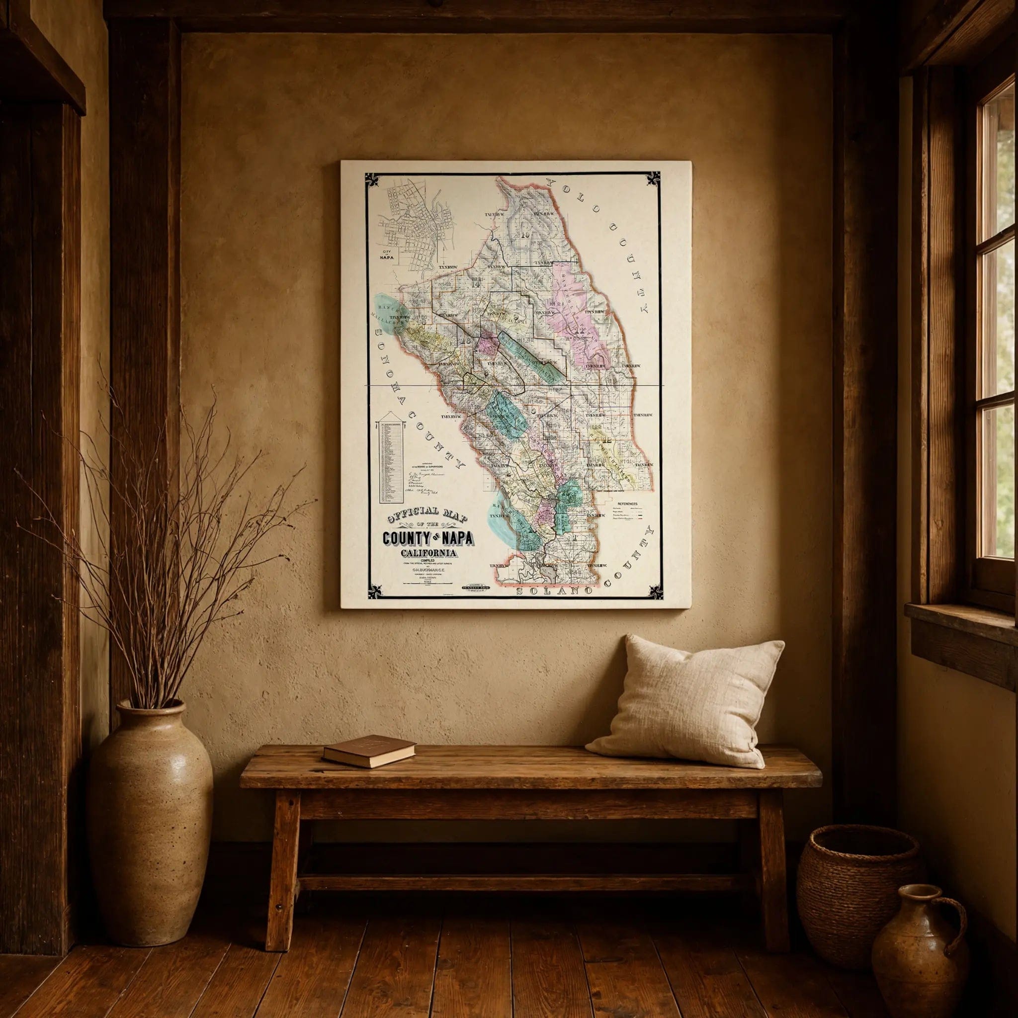
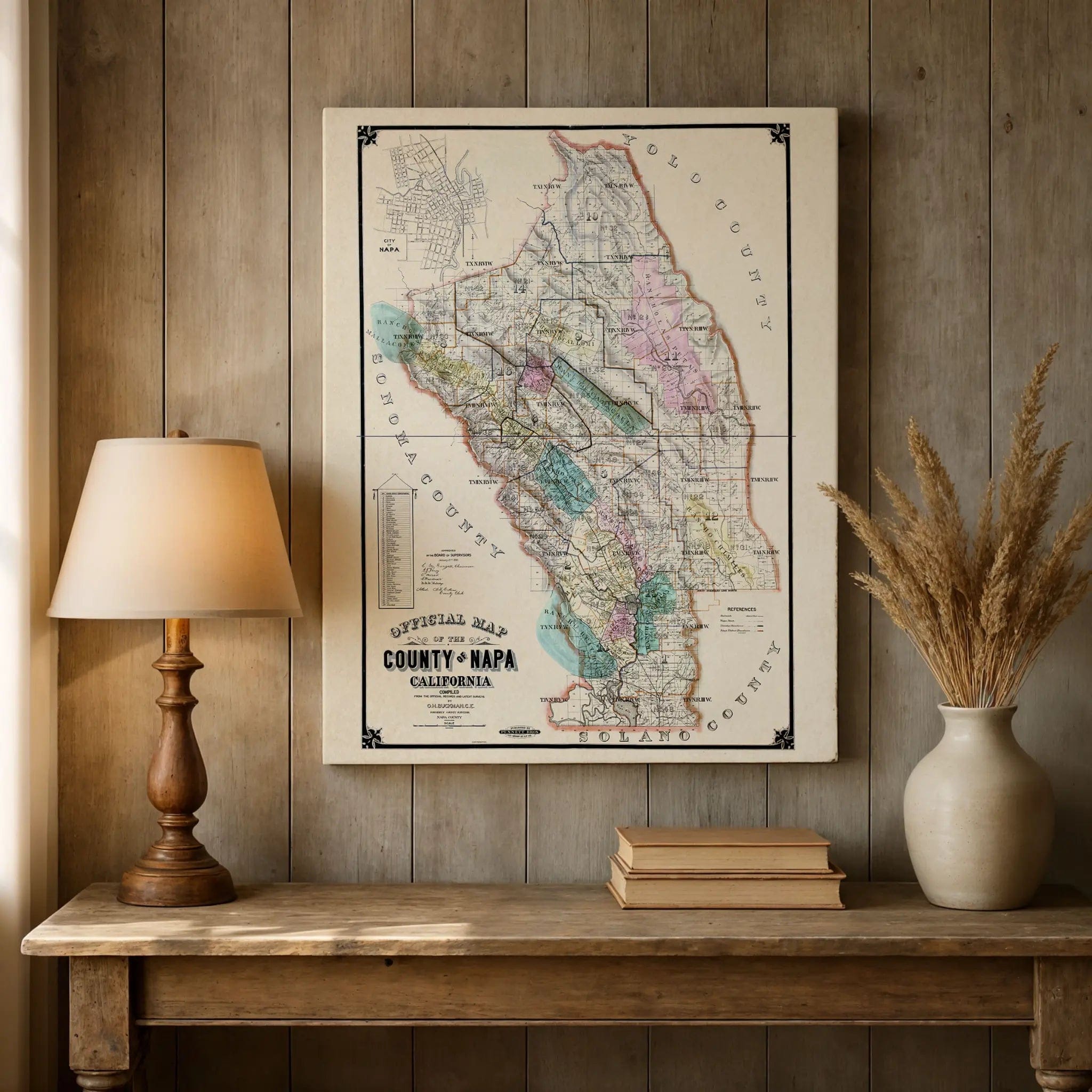
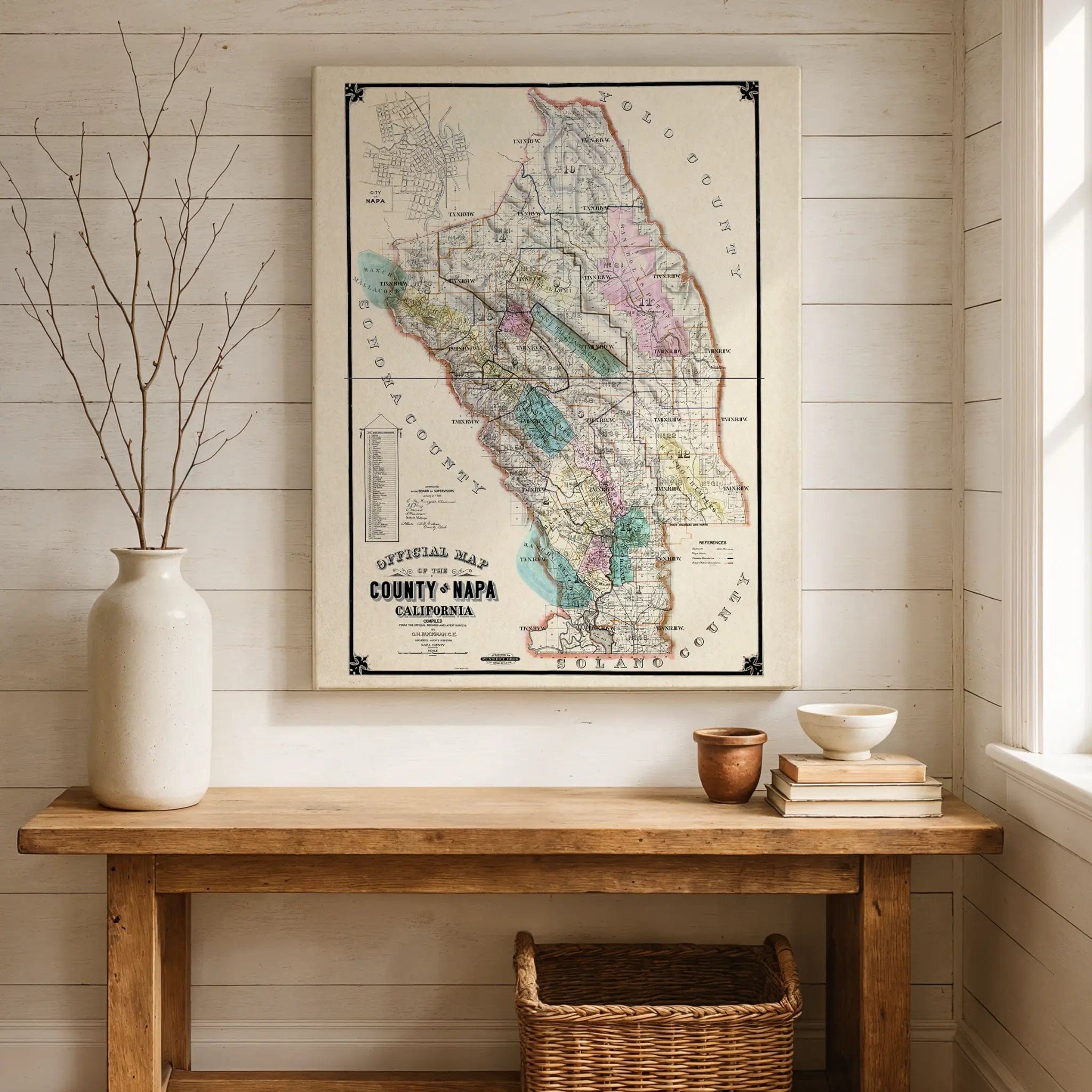
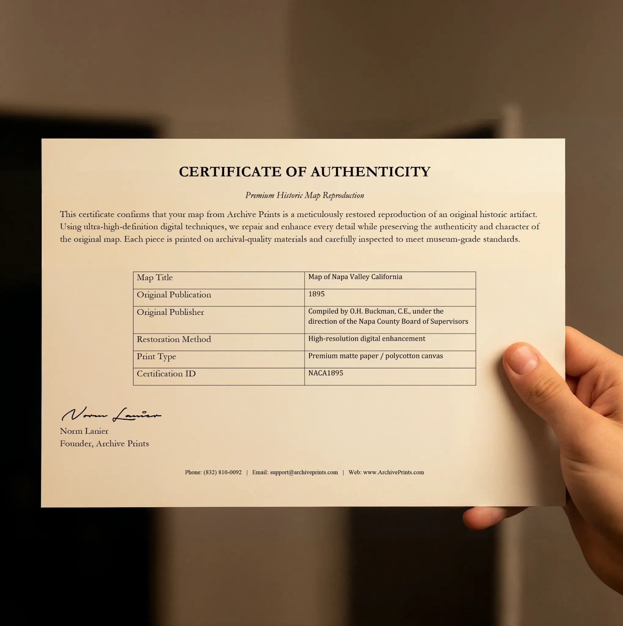
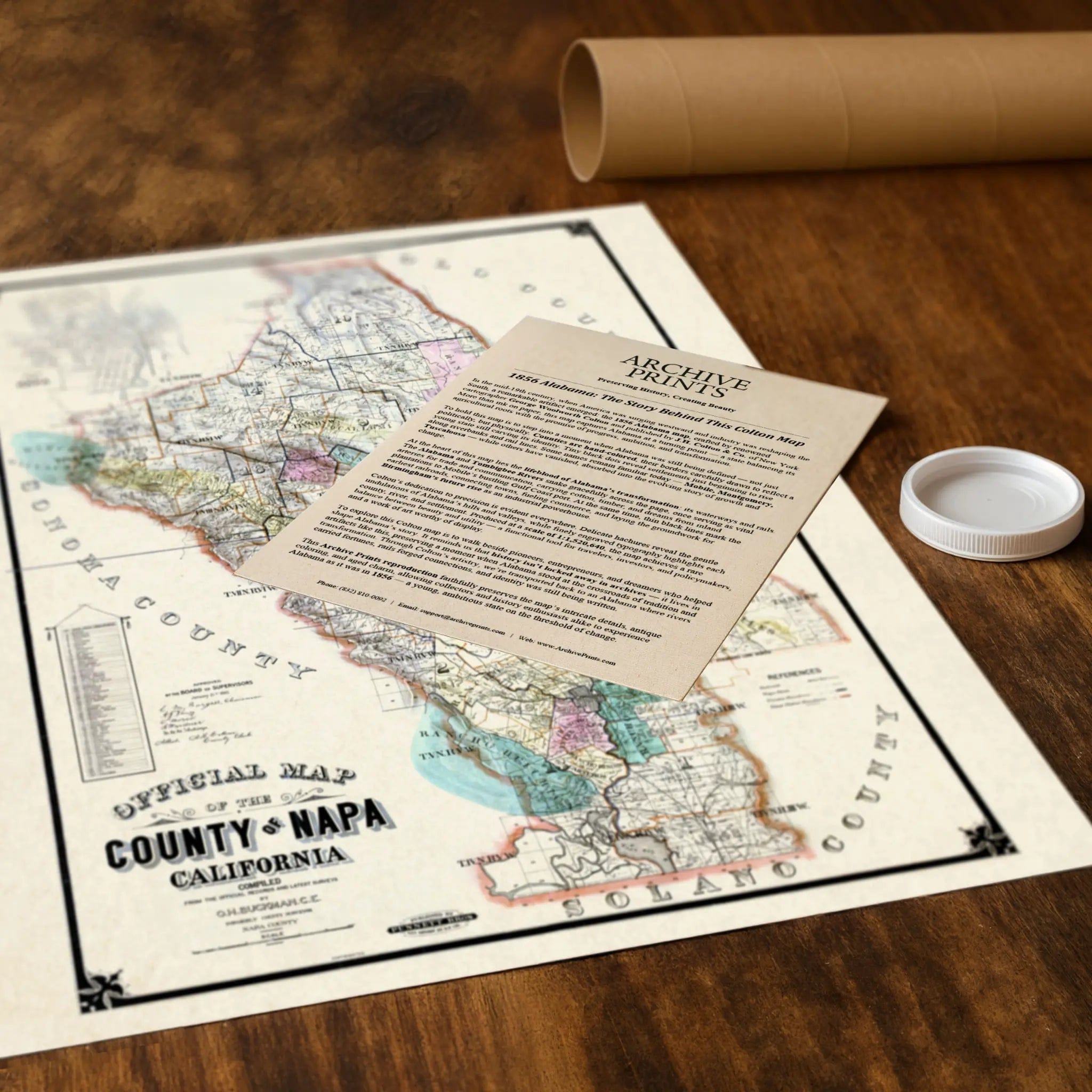
Each restored reproduction of this 1895 map is printed with museum-quality precision on heavyweight archival paper or hand-stretched premium canvas to preserve every original detail. Your purchase includes two companion documents:
Certificate of Authenticity verifying its restoration and reproduction quality
Historical Story Page detailing the origins, craftsmanship, and cultural significance of Buckman's official county survey
Paper prints arrive rolled in reinforced mailing tubes for protection. Canvas prints come gallery-wrapped on solid pine stretcher bars with pre-installed hardware, ready to display upon arrival.
Bring home a vivid piece of wine country history—a timeless record of Napa Valley's transformation from agricultural frontier to the world's most celebrated wine region.
The Map Story
Materials
Choose options

Because every place has a story
Make History Personal
A vintage map is more than art.
It is a reminder of where life began.
Where memories were made.
Where hearts still live. Give the gift of place.
Beautifully preserved and made for the moments that matter.
Why Choose Us?
| Feature | Us | Competitor A | Competitor B |
|---|---|---|---|
| Hand Crafted | |||
| Museum Quality | |||
| 100 Year Guarantee | |||
| Restored by Hand | |||
| Certificate of Authenticity |

Art Prints
Archival quality colors. Best option if you'd like to frame it yourself

The Best Materials
We hand-stretched our canvas on solid American-grown pine stretcher bars. We use quality canvas and fade-resistant inks to create the lasting art. Canvases come with hardware already installed and ready to hang.
Need help?
Frequently Asked Questions
Order
All of our maps are meticulously restored reproductions of historic originals. Each piece is digitally repaired and color-corrected to bring out the finest details while preserving its authentic, vintage character.
Yes. All Archive Prints products are printed to order in the USA with archival materials.
We offer two premium formats:
- High-Quality Paper Posters – Printed on thick, archival-grade matte paper for rich, vibrant detail.
- Hand-Stretched Canvas Prints – Printed on premium polycotton canvas and mounted on 1.5" solid American pine stretcher bars for a gallery-quality finish.
We carefully digitally restore each map to enhance clarity and color while preserving its original look and historic charm. You’ll enjoy sharp details and a timeless vintage aesthetic that feels true to the original piece.
Yes, we do! We offer premium framing options to make your map ready to hang the moment it arrives. You can choose from Oak, Maple, Black, or Walnut frames directly on the product page. We also offer Stretched Canvas prints for a modern gallery look, as well as archival-quality Posters if you prefer to frame it yourself.
Yes! We offer free shipping on all products within the United States. Each map is carefully packaged to ensure it arrives in perfect condition.
If you’re not completely satisfied, you can return your order in new condition for a full refund. Return shipping costs are the responsibility of the customer.
Absolutely! Our maps make thoughtful, one-of-a-kind gifts for history lovers, map collectors, or anyone looking to add vintage character to their home or office. Choose between paper prints for framing or stretched canvas for a ready-to-hang presentation.
- Paper Posters → Shipped in durable, protective tubes to prevent creasing.
- Canvas Prints → Carefully wrapped, padded, and boxed to ensure safe delivery.
Our maps look stunning in a variety of settings, including:
- Living rooms and home offices
- Libraries and studies
- Corporate offices and conference rooms
- Restaurants, cafes, and boutique spaces