

New Orleans Map 1935
New Orleans Map 1935
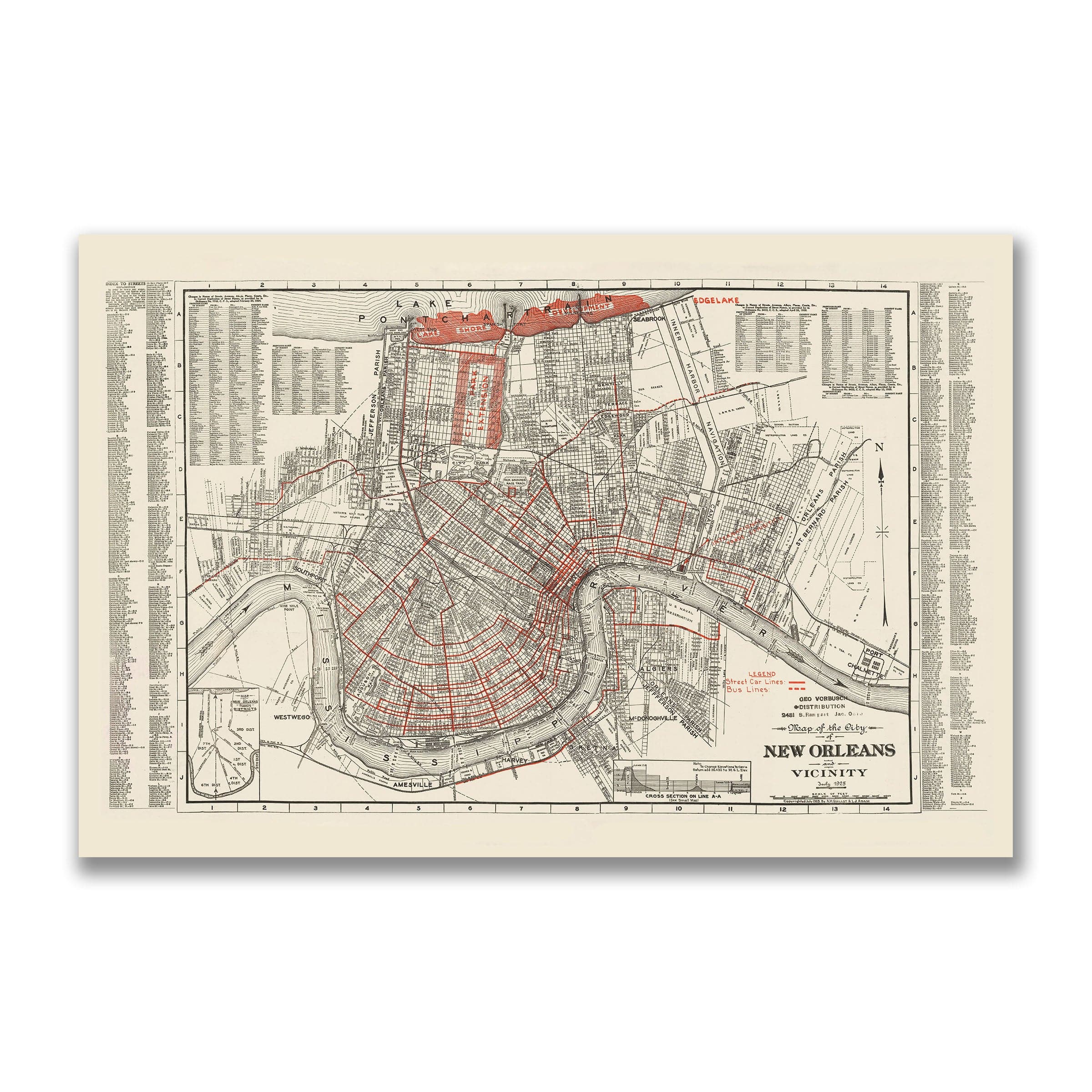
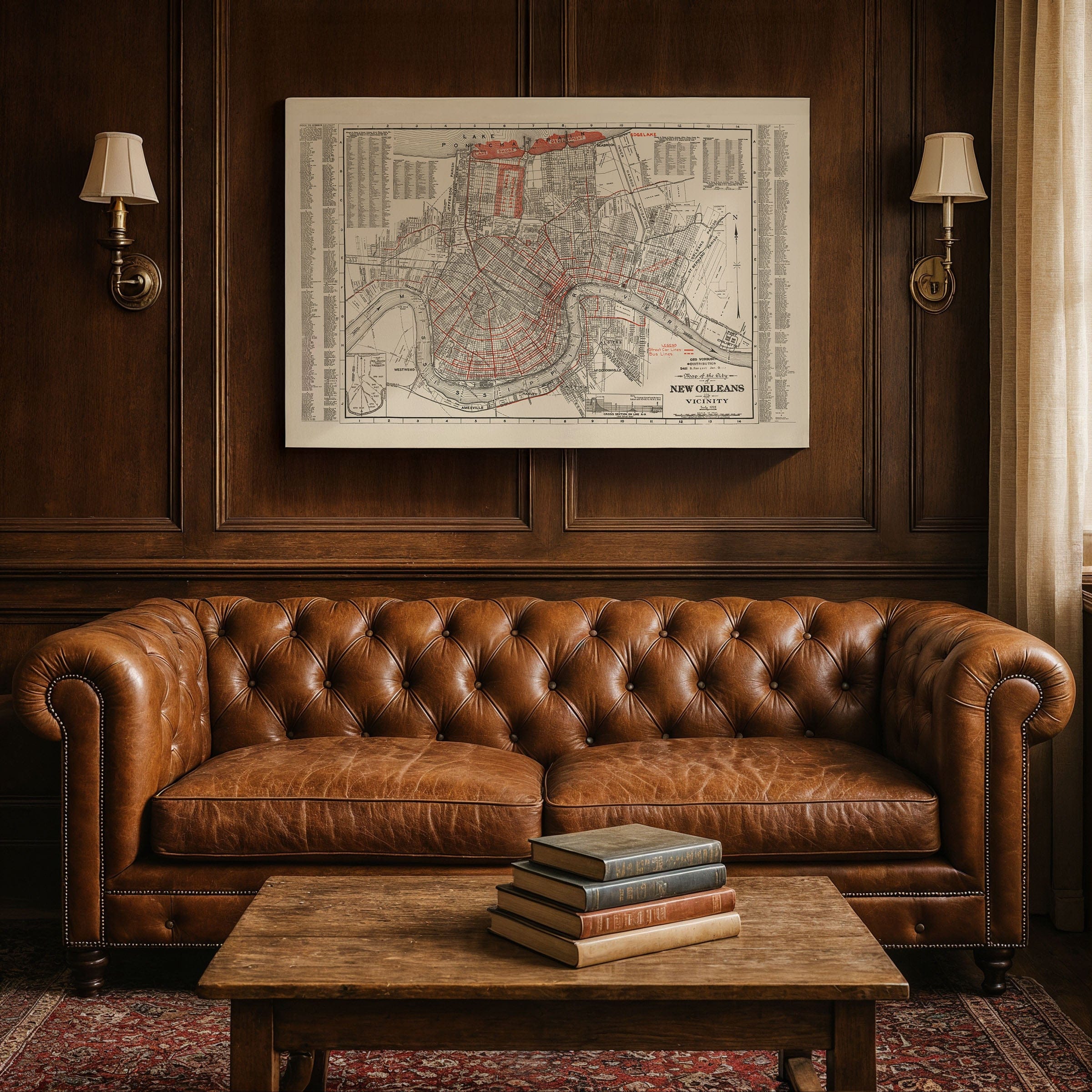
Discover the detailed New Orleans Map from 1935, capturing New Orleans at the crossroads of tradition and transformation—a city whose soul was steeped in history yet whose streets pulsed with the rhythms of modern life. Published in the midst of the Great Depression, this street and transit map preserves a metropolis both deeply rooted and restlessly evolving, with its famous crescent hugging the Mississippi River and neighborhoods connected by a web of streetcar and bus lines.
From the French Quarter's narrow, centuries-old lanes shown in this New Orleans Map to the tidy grids of Uptown and the expanding neighborhoods along Lake Pontchartrain, the map reveals a city expanding beyond its colonial origins. Canal Street divides Uptown from Downtown like a great urban spine, bustling with commerce, cinemas, and department stores. Streetcars clatter down St. Charles Avenue beneath live oaks, carrying commuters from the heart of the city to the universities and gardens beyond. Across the river in Algiers, ferry routes still tie the two sides together.
This New Orleans Map also captures the city's growing relationship with the modern world. Highways and rail lines radiate outward, linking New Orleans to Baton Rouge, Gulfport, and Atlanta. The Industrial Canal, completed just a decade earlier, marks a new phase of progress—connecting river and lake, reshaping shipping routes. Near the Lakefront, new residential developments—Lakeview, West End, and Edge Lake—promise suburban comfort amidst the marsh, protected by levees that stretch along the horizon.
Yet even as the city modernized, its heart remained firmly Southern in this New Orleans Map. The map's intricate grid reveals the density of life tucked within each block—from Creole cottages framed by wrought-iron balconies to modern hotels rising near the riverfront. Music, trade, and resilience intertwined here, just as they always had. The historic neighborhoods of the Tremé and Bywater remained vibrant cultural centers, while the Garden District and Carrollton reflected the city's genteel aspirations.
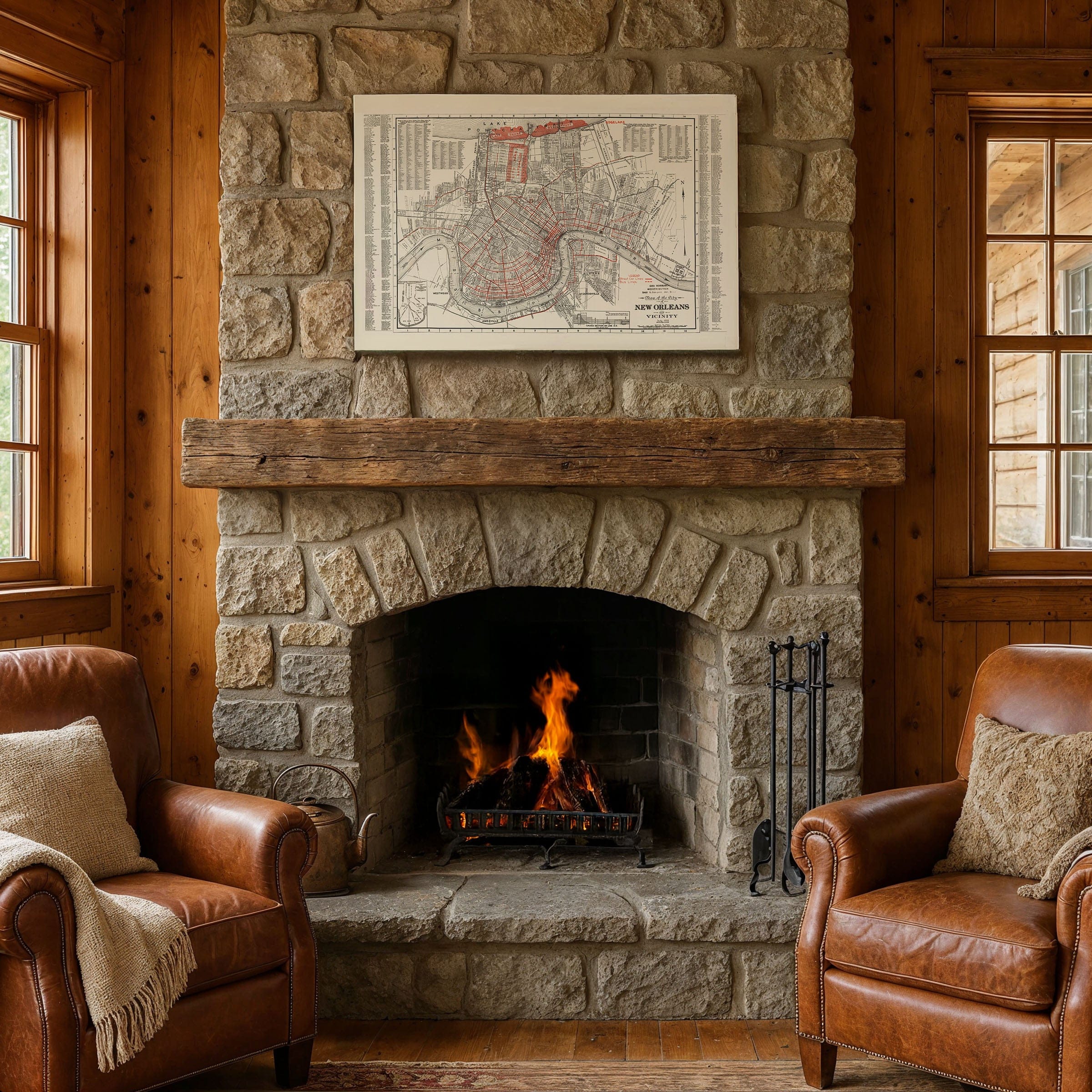
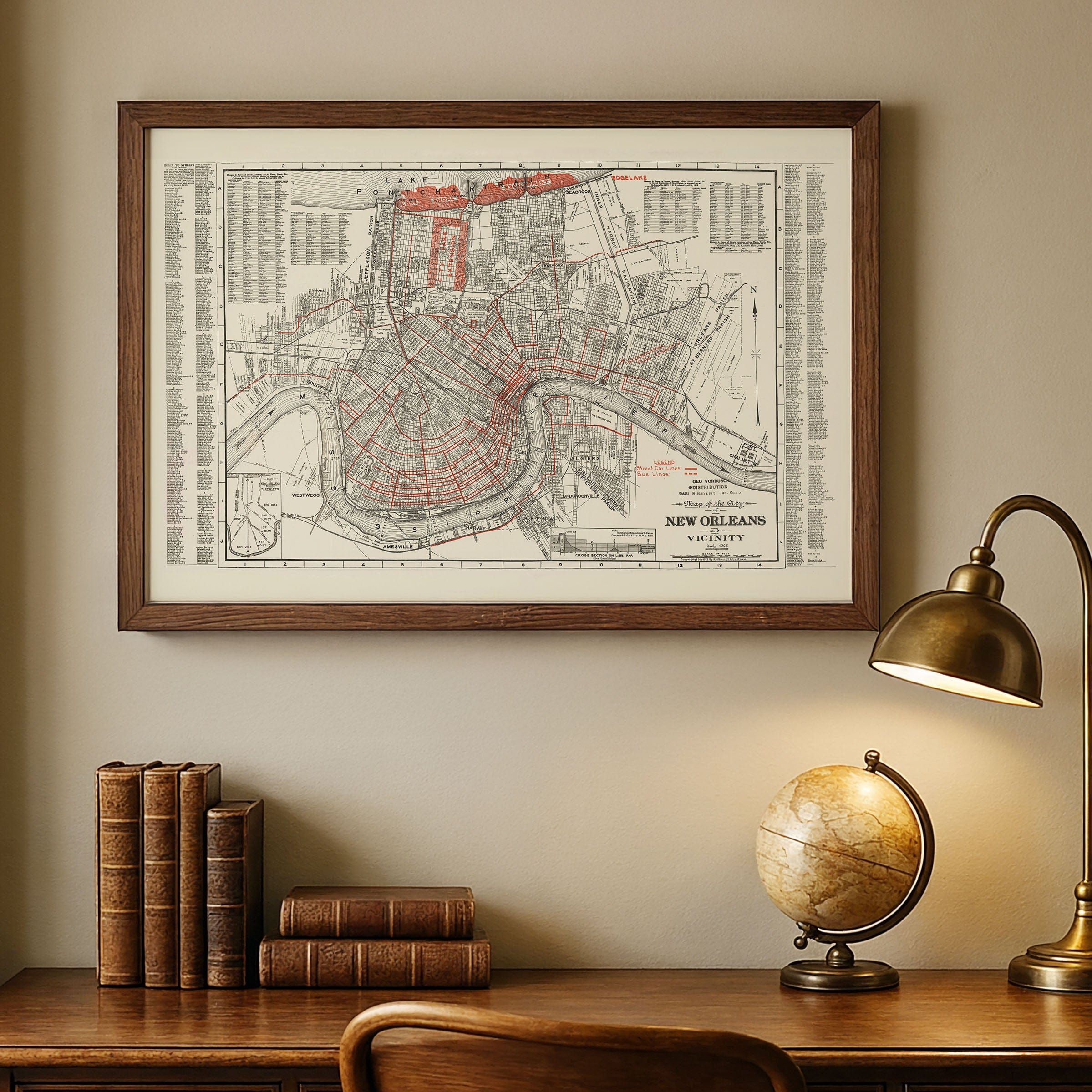
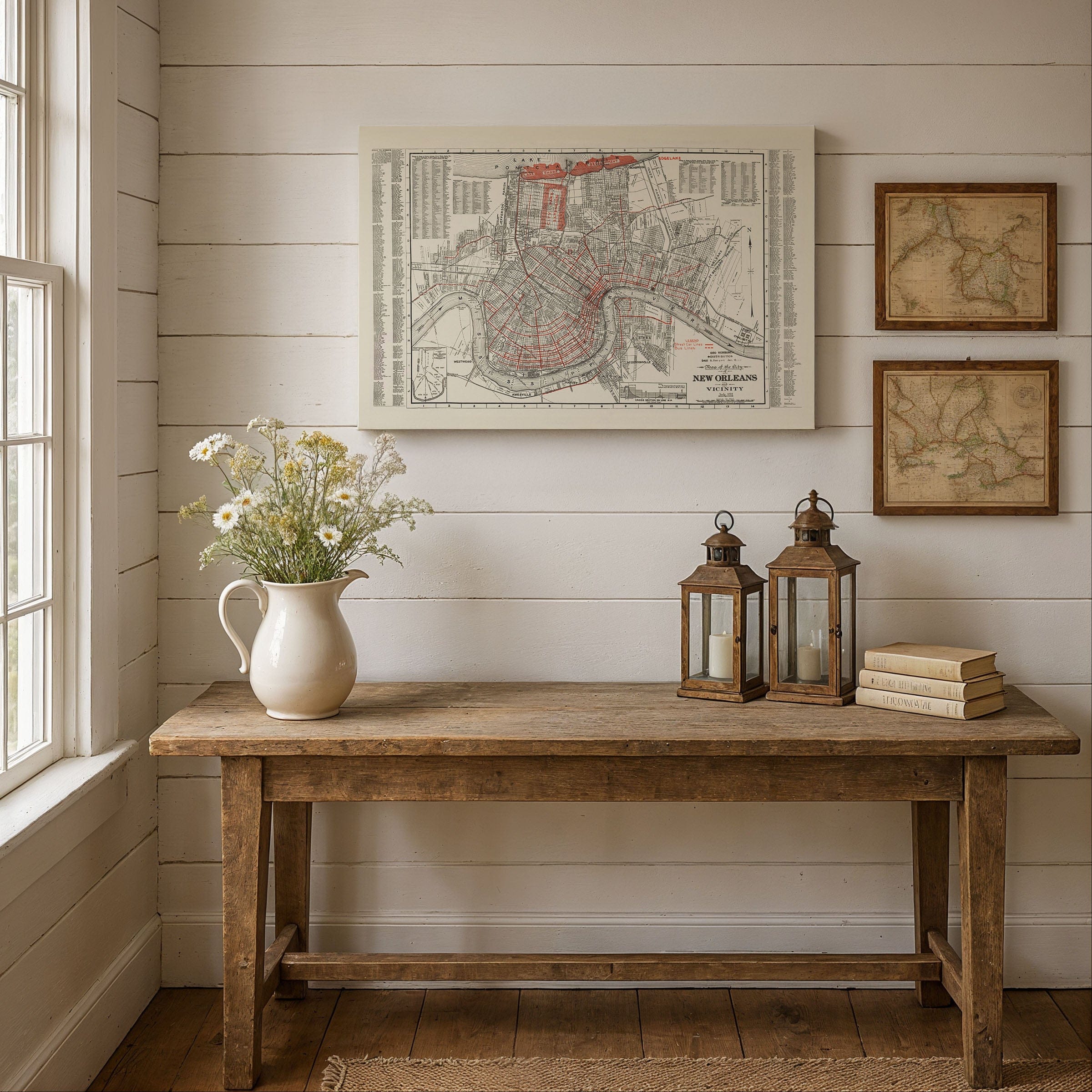
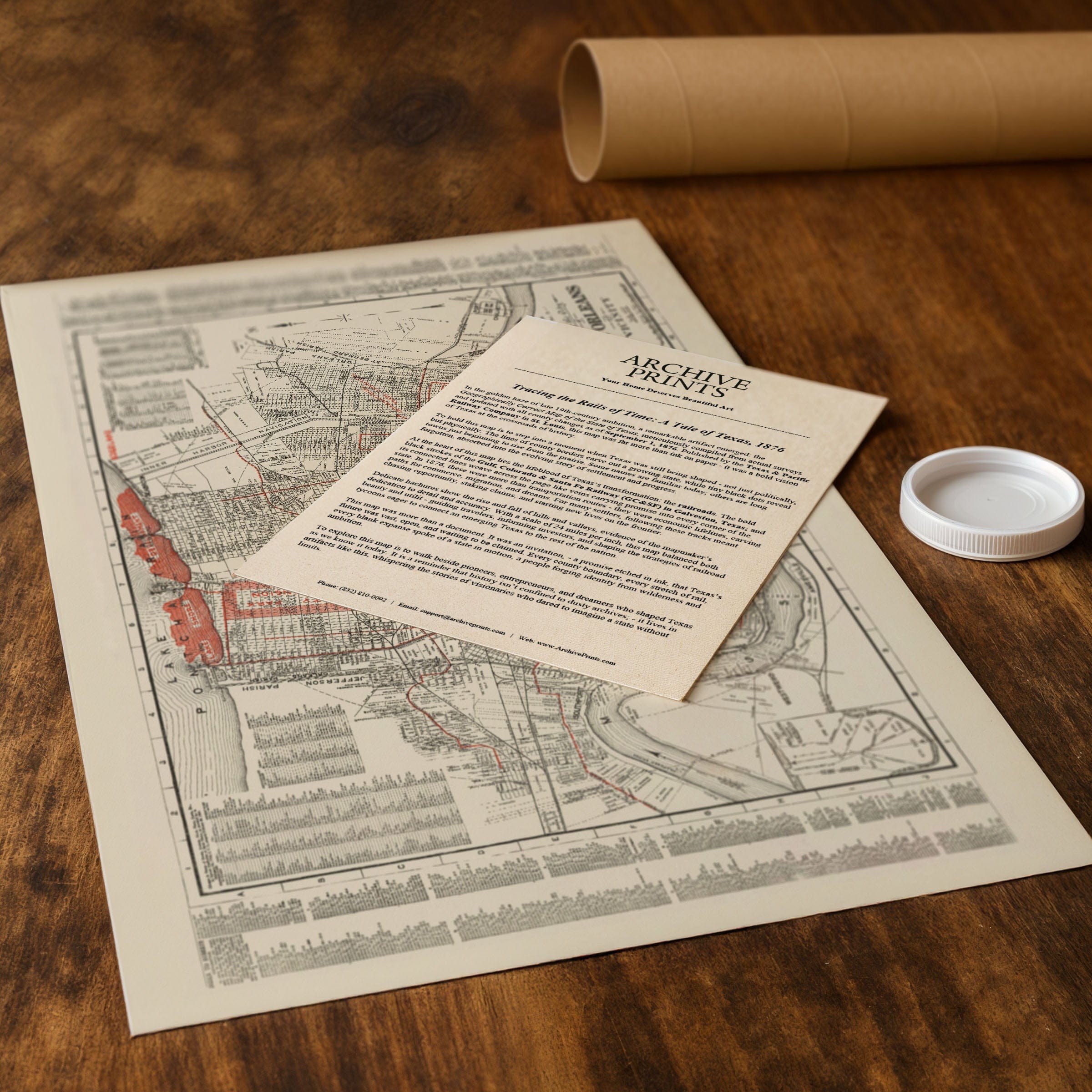
Perfect for New Orleans residents, Louisiana history enthusiasts, and collectors of vintage transit maps, this New Orleans Map reproduction includes a custom historical certificate. By 1935, New Orleans had weathered hurricanes, floods, and economic hardship, yet it continued to reinvent itself. Printed on heavyweight archival paper or hand-stretched polycotton canvas, every street, streetcar line, and neighborhood is restored in museum-grade clarity for generations of enjoyment. Paper prints ship rolled in heavy-duty tubes, while canvas editions arrive gallery-wrapped on solid pine stretcher bars with pre-installed hardware—ready to display the moment it arrives. Bring home a piece of New Orleans history and celebrate a city balancing land and water, tradition and progress.
The Map Story
Materials
Choose options

Because every place has a story
Make History Personal
A vintage map is more than art.
It is a reminder of where life began.
Where memories were made.
Where hearts still live. Give the gift of place.
Beautifully preserved and made for the moments that matter.
Why Choose Us?
| Feature | Us | Competitor A | Competitor B |
|---|---|---|---|
| Hand Crafted | |||
| Museum Quality | |||
| 100 Year Guarantee | |||
| Restored by Hand | |||
| Certificate of Authenticity |

Art Prints
Archival quality colors. Best option if you'd like to frame it yourself

The Best Materials
We hand-stretched our canvas on solid American-grown pine stretcher bars. We use quality canvas and fade-resistant inks to create the lasting art. Canvases come with hardware already installed and ready to hang.
Need help?
Frequently Asked Questions
Order
All of our maps are meticulously restored reproductions of historic originals. Each piece is digitally repaired and color-corrected to bring out the finest details while preserving its authentic, vintage character.
Yes. All Archive Prints products are printed to order in the USA with archival materials.
We offer two premium formats:
- High-Quality Paper Posters – Printed on thick, archival-grade matte paper for rich, vibrant detail.
- Hand-Stretched Canvas Prints – Printed on premium polycotton canvas and mounted on 1.5" solid American pine stretcher bars for a gallery-quality finish.
We carefully digitally restore each map to enhance clarity and color while preserving its original look and historic charm. You’ll enjoy sharp details and a timeless vintage aesthetic that feels true to the original piece.
Yes, we do! We offer premium framing options to make your map ready to hang the moment it arrives. You can choose from Oak, Maple, Black, or Walnut frames directly on the product page. We also offer Stretched Canvas prints for a modern gallery look, as well as archival-quality Posters if you prefer to frame it yourself.
Yes! We offer free shipping on all products within the United States. Each map is carefully packaged to ensure it arrives in perfect condition.
If you’re not completely satisfied, you can return your order in new condition for a full refund. Return shipping costs are the responsibility of the customer.
Absolutely! Our maps make thoughtful, one-of-a-kind gifts for history lovers, map collectors, or anyone looking to add vintage character to their home or office. Choose between paper prints for framing or stretched canvas for a ready-to-hang presentation.
- Paper Posters → Shipped in durable, protective tubes to prevent creasing.
- Canvas Prints → Carefully wrapped, padded, and boxed to ensure safe delivery.
Our maps look stunning in a variety of settings, including:
- Living rooms and home offices
- Libraries and studies
- Corporate offices and conference rooms
- Restaurants, cafes, and boutique spaces