Vintage North America Map 1720
North America Map 1720
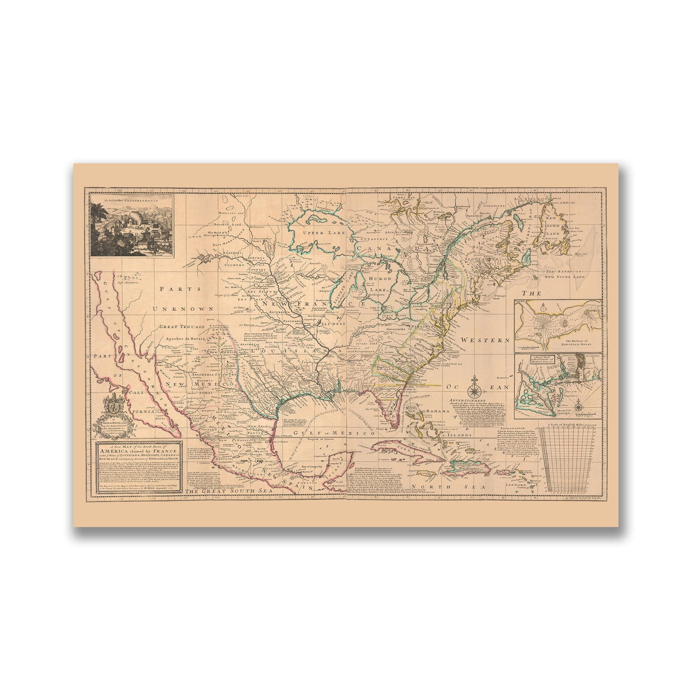
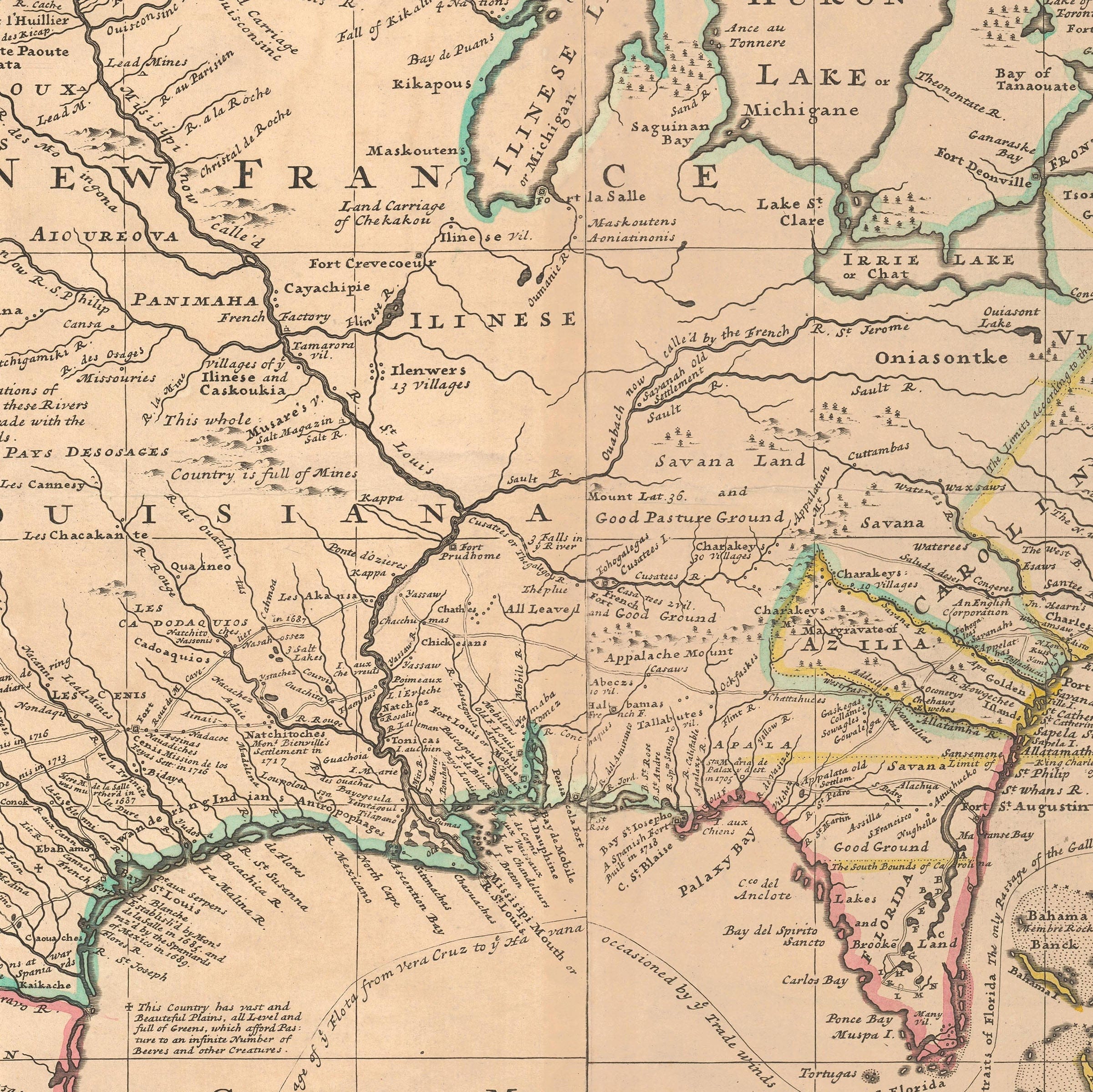
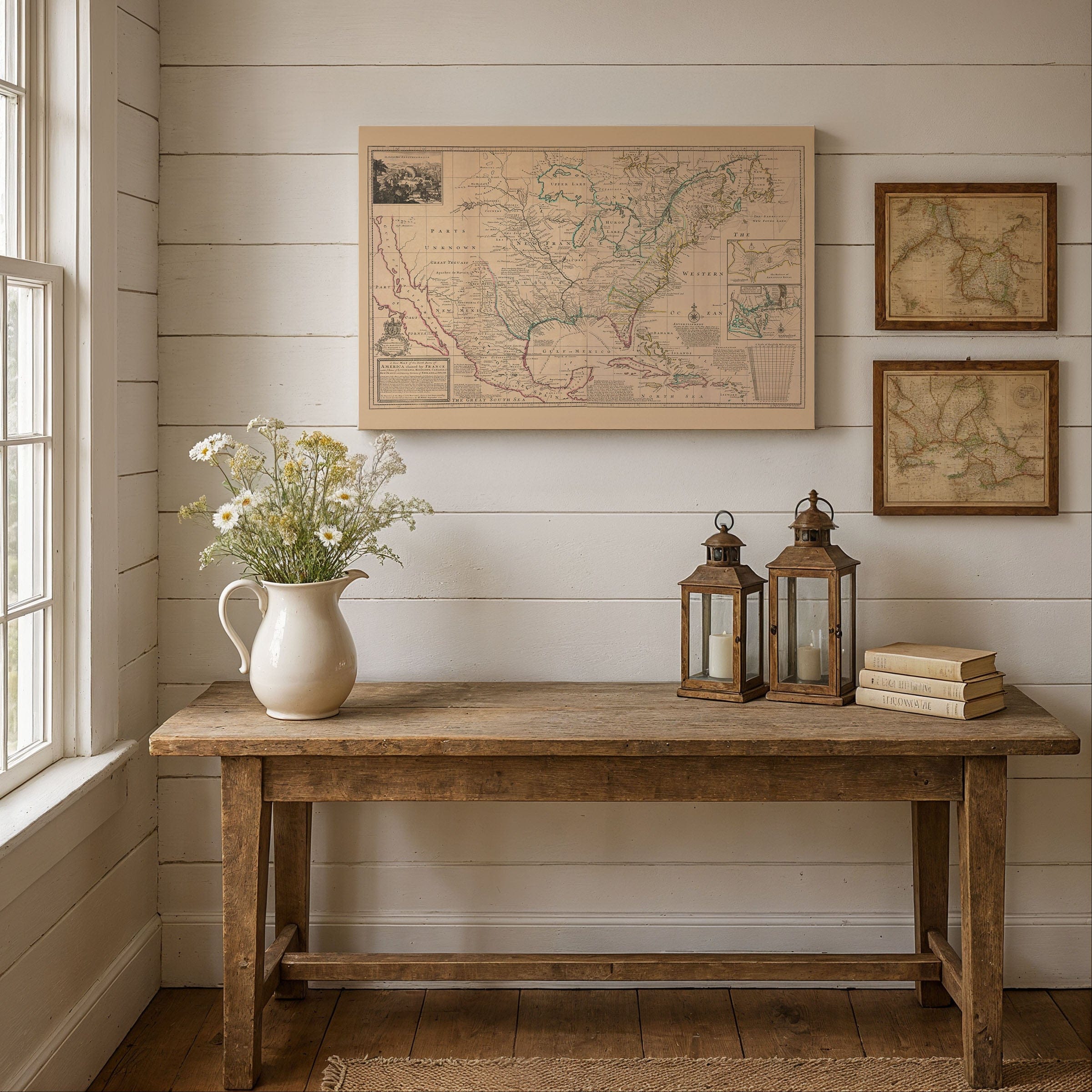
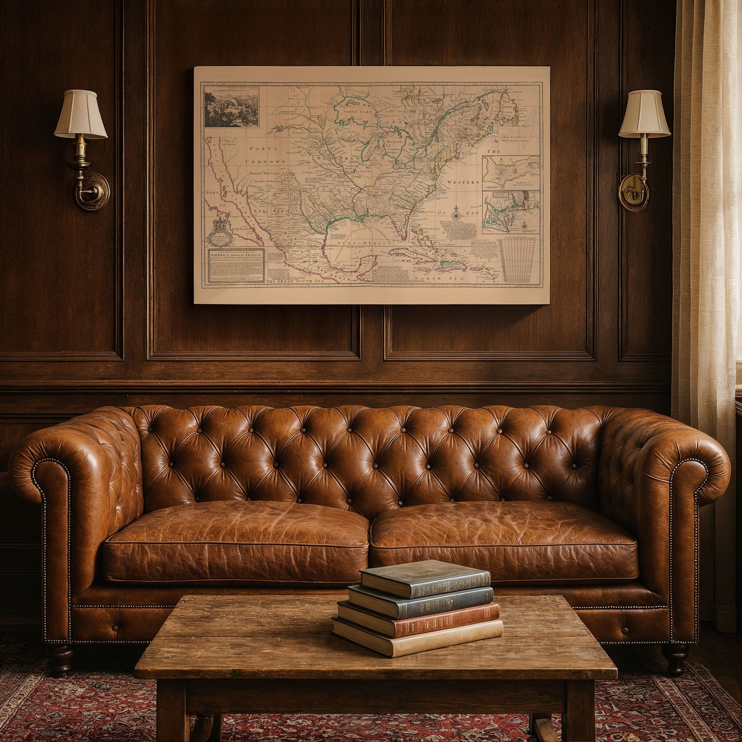
This remarkable North America Map from 1720 by Herman Moll captures the New World at a moment when European empires measured power by claims, rivers, and possibility. Spanning from Hudson Bay to the Gulf of Mexico, this map presents a continent still incompletely known, with vast interior regions labeled "Parts Unknown" while river systems dominate the geography.
The North America Map reveals the central theme of imperial rivalry. French territorial claims stretch dramatically across the interior linking Canada to Louisiana, while English colonies cluster along the Atlantic coast. Spanish influence extends north from Mexico and Florida, completing the tripartite struggle for the continent's future shaped by the Mississippi, Ohio, and St. Lawrence Rivers.
Every element of this North America Map serves as political instrument. Native nations are named and situated within their homelands, while inset maps and cartouches offer detailed views of strategic harbors and river mouths. Published in London, Moll's cartography subtly argues for greater British attention to colonial defense and settlement.
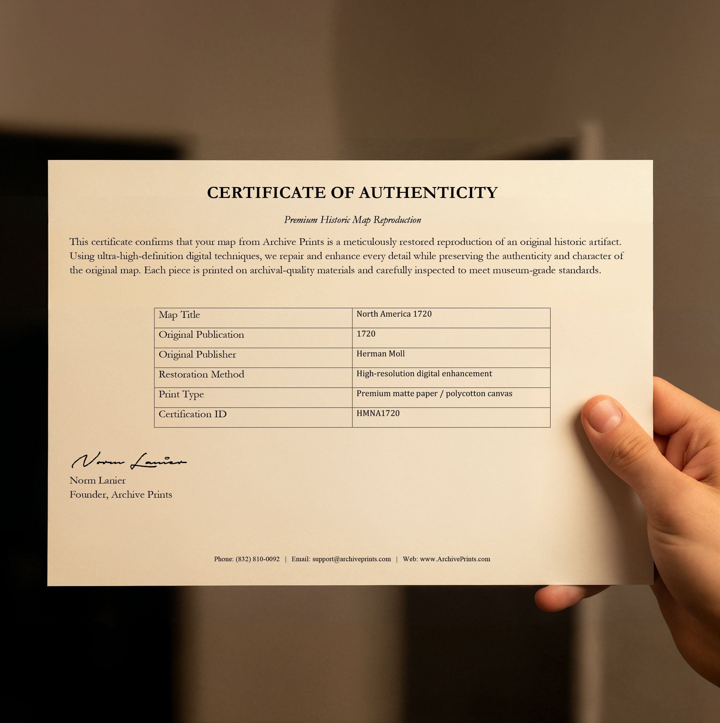
This vintage North America Map preserves a continent in flux where borders were asserted more boldly than enforced. Each reproduction is printed on premium archival materials with museum-quality inks, complete with a personalized Certificate of Authenticity documenting this piece of colonial cartographic history.
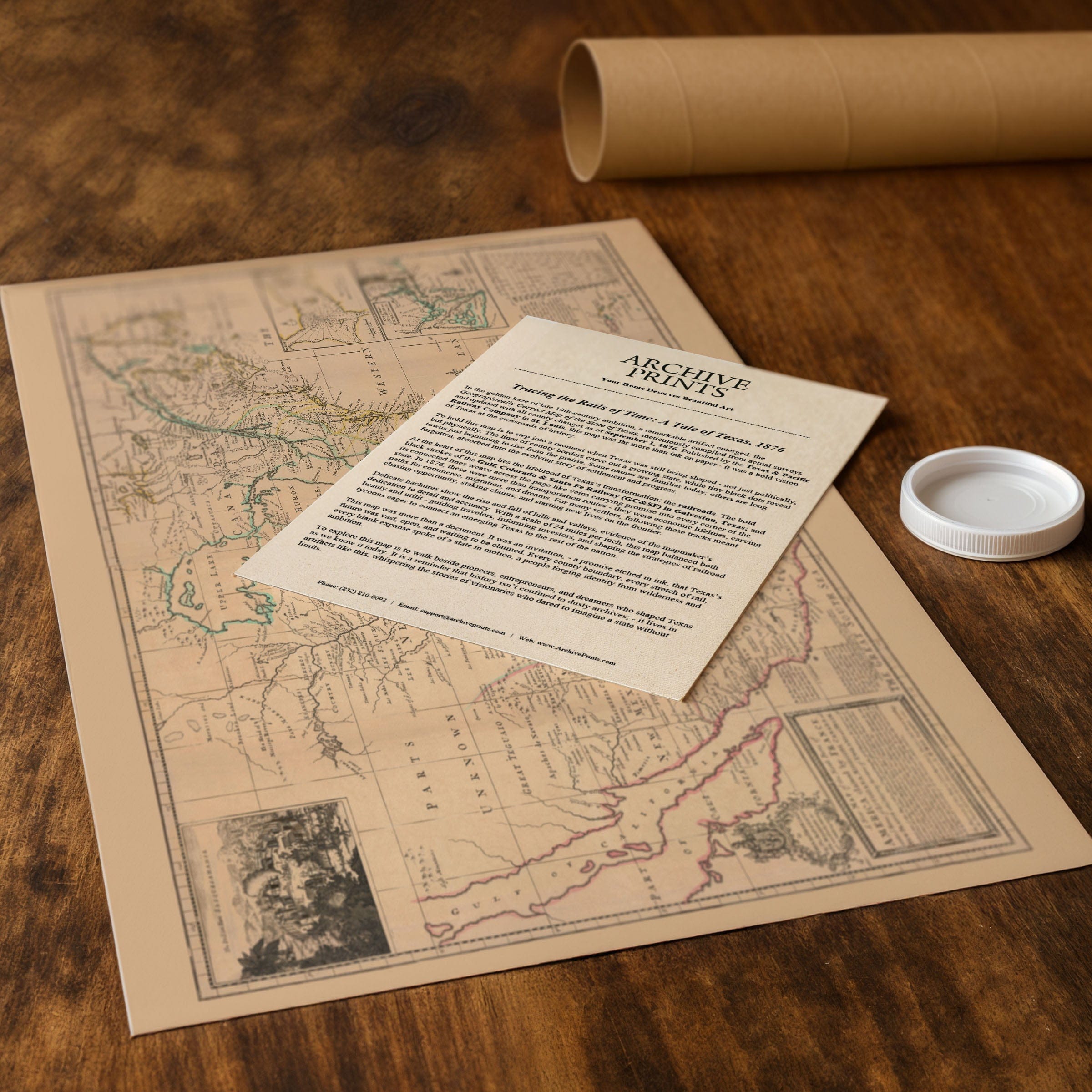
The Map Story
Materials
Choose options

Because every place has a story
Make History Personal
A vintage map is more than art.
It is a reminder of where life began.
Where memories were made.
Where hearts still live. Give the gift of place.
Beautifully preserved and made for the moments that matter.
Why Choose Us?
| Feature | Us | Competitor A | Competitor B |
|---|---|---|---|
| Hand Crafted | |||
| Museum Quality | |||
| 100 Year Guarantee | |||
| Restored by Hand | |||
| Certificate of Authenticity |

Art Prints
Archival quality colors. Best option if you'd like to frame it yourself

The Best Materials
We hand-stretched our canvas on solid American-grown pine stretcher bars. We use quality canvas and fade-resistant inks to create the lasting art. Canvases come with hardware already installed and ready to hang.
Need help?
Frequently Asked Questions
Order
All of our maps are meticulously restored reproductions of historic originals. Each piece is digitally repaired and color-corrected to bring out the finest details while preserving its authentic, vintage character.
Yes. All Archive Prints products are printed to order in the USA with archival materials.
We offer two premium formats:
- High-Quality Paper Posters – Printed on thick, archival-grade matte paper for rich, vibrant detail.
- Hand-Stretched Canvas Prints – Printed on premium polycotton canvas and mounted on 1.5" solid American pine stretcher bars for a gallery-quality finish.
We carefully digitally restore each map to enhance clarity and color while preserving its original look and historic charm. You’ll enjoy sharp details and a timeless vintage aesthetic that feels true to the original piece.
Yes, we do! We offer premium framing options to make your map ready to hang the moment it arrives. You can choose from Oak, Maple, Black, or Walnut frames directly on the product page. We also offer Stretched Canvas prints for a modern gallery look, as well as archival-quality Posters if you prefer to frame it yourself.
Yes! We offer free shipping on all products within the United States. Each map is carefully packaged to ensure it arrives in perfect condition.
If you’re not completely satisfied, you can return your order in new condition for a full refund. Return shipping costs are the responsibility of the customer.
Absolutely! Our maps make thoughtful, one-of-a-kind gifts for history lovers, map collectors, or anyone looking to add vintage character to their home or office. Choose between paper prints for framing or stretched canvas for a ready-to-hang presentation.
- Paper Posters → Shipped in durable, protective tubes to prevent creasing.
- Canvas Prints → Carefully wrapped, padded, and boxed to ensure safe delivery.
Our maps look stunning in a variety of settings, including:
- Living rooms and home offices
- Libraries and studies
- Corporate offices and conference rooms
- Restaurants, cafes, and boutique spaces