Orange County, California Map 1929
Orange County, California Map 1929
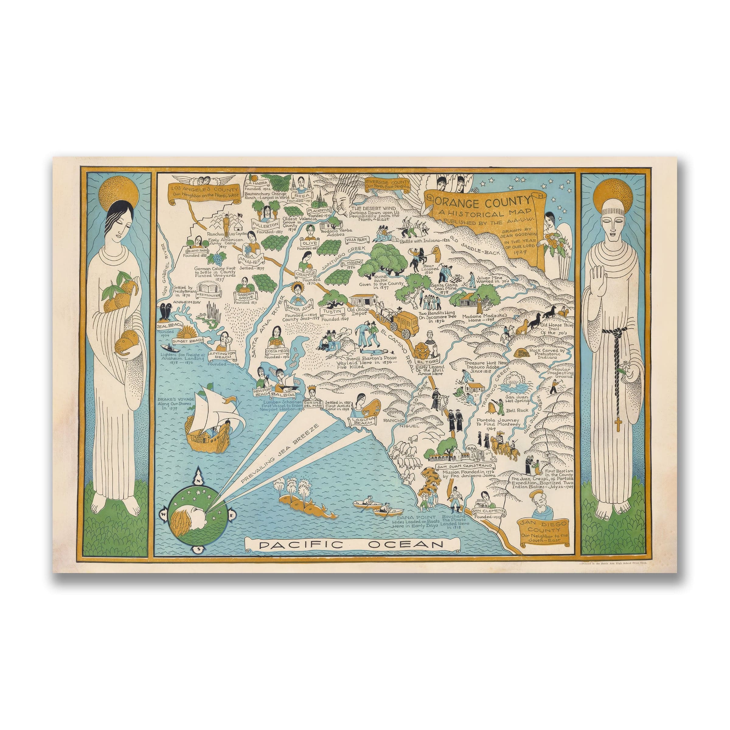
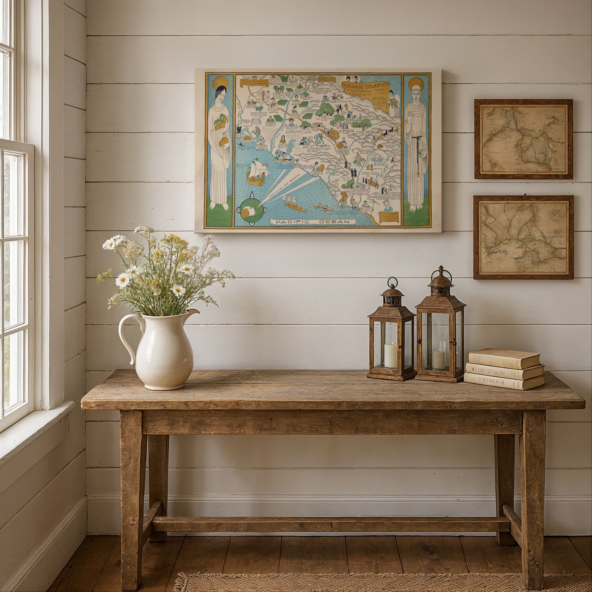
Step into 1929 with this captivating Orange County, California Map, a richly illustrated historical treasure drawn by Jean Goodwin for the American Association of University Women. This isn't just a map—it's a living tapestry of stories that captures Orange County at a pivotal moment, poised between its ranching heritage and the dawn of Southern California's suburban transformation. Before freeways crisscrossed the valleys and resort towns lined the coast, this illustrated map preserved a world of citrus groves, mission bells, Spanish expeditions, and pioneer dreams.
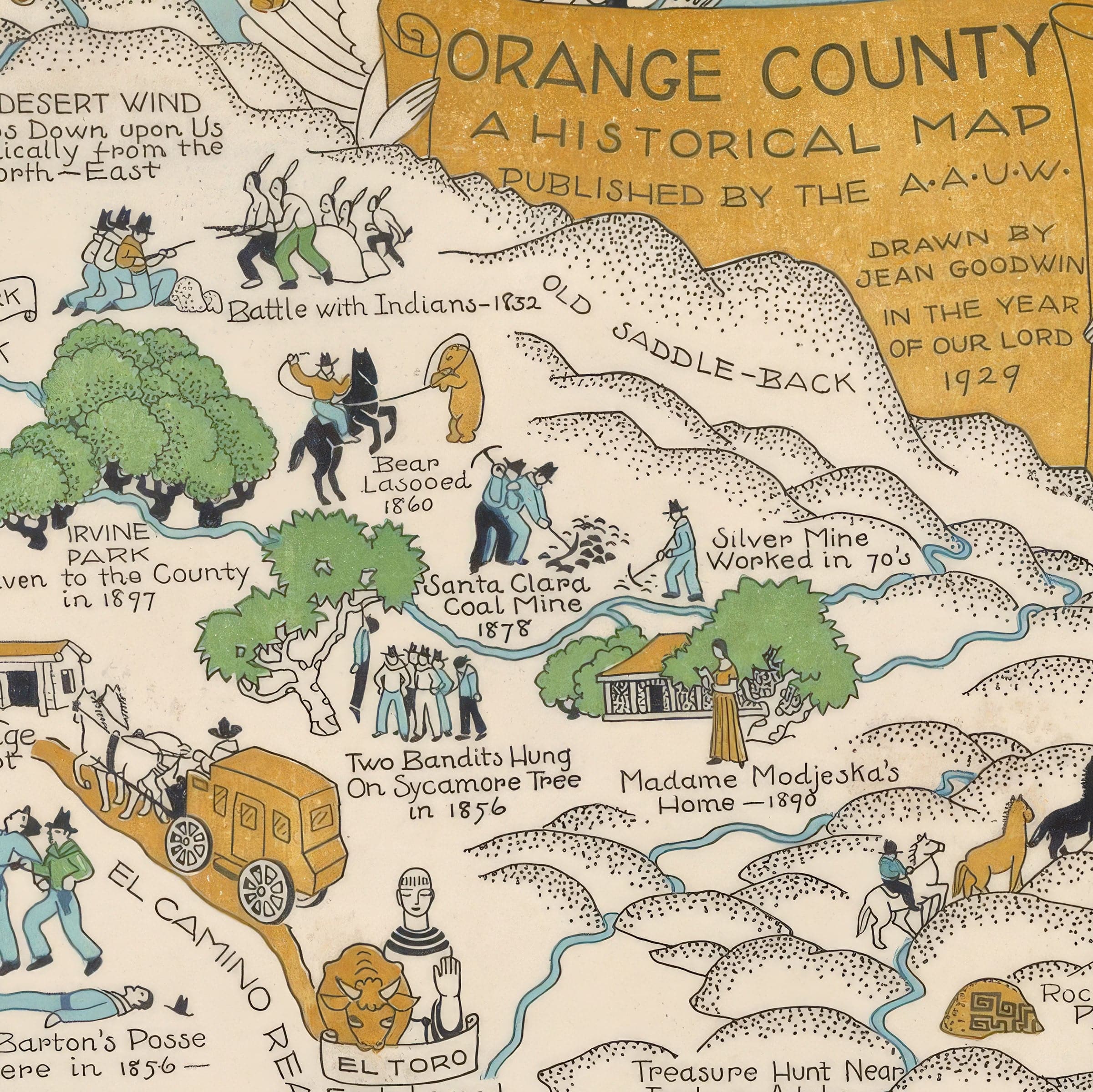
The Orange County, California Map presents Orange County as a narrative panorama where history and geography intertwine. The rugged Santa Ana Mountains rise along the eastern edge in carefully stippled ridges, marking the places where early explorers camped, bandits sought refuge, miners pursued silver veins, and homesteaders carved out new lives. To the west, the coastal plain stretches toward the Pacific Ocean, where Dana Point, Newport Harbor, Laguna Beach, and Seal Beach appear as windswept shorelines—quiet havens long before tourism transformed them into beloved destinations.
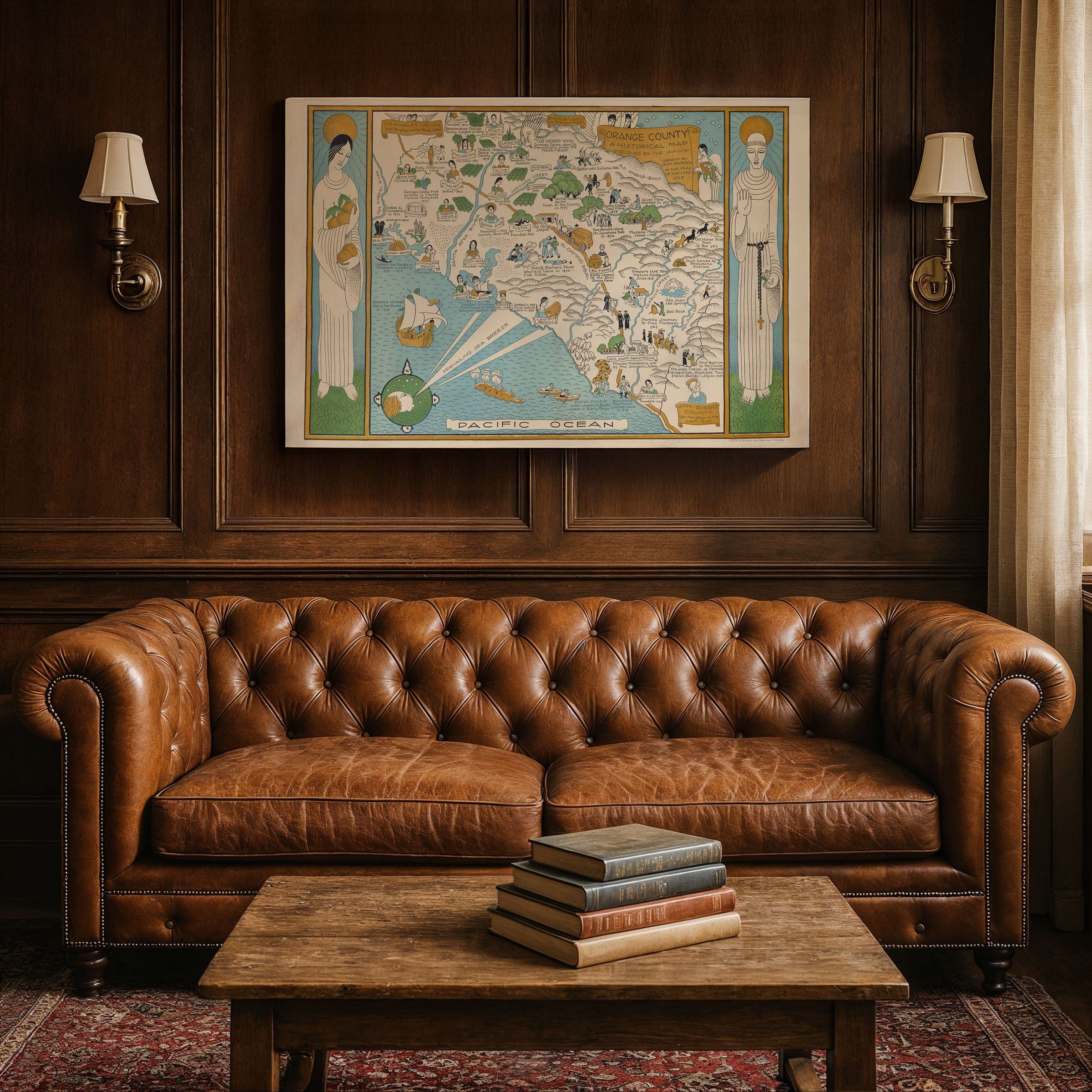
Throughout this Orange County, California Map, hand-drawn vignettes bring Orange County's layered history to life. The Portolá Expedition of 1769 crosses the foothills in search of Monterey; Father Junípero Serra establishes Mission San Juan Capistrano, planting the seeds of Spanish California; vaqueros drive cattle across the sprawling ranchos that once dominated the landscape; and pioneers establish towns like Anaheim, Santa Ana, Fullerton, and Tustin. Each illustrated figure—explorer, prospector, homesteader, or schoolteacher—embodies a chapter in the county's remarkable transformation from wilderness to cultivated land.
Agriculture defines much of the story told by this Orange County, California Map. Citrus groves, walnut orchards, and bean fields blanket the fertile plain, reflecting the agricultural prosperity that made Orange County famous in the early 20th century. Wagons, plows, and ranch hands populate the landscape, depicting a place where daily life remained intimately connected to the land even as new railroads and paved roads began linking these small communities to the growing metropolis of Los Angeles.
Jean Goodwin's artistic rendering captures Orange County at the cusp of extraordinary change—still rural and rooted in its Spanish and Mexican heritage, yet standing on the threshold of the postwar suburban boom that would redefine all of Southern California. Her playful touches, from angels floating above mission grounds to local legends illustrated with affection and humor, lend the map a sense of whimsy while honoring the real people and events that shaped the region. This Orange County, California Map invites viewers to wander through time, discovering the stories, struggles, and triumphs that built Orange County long before it became the sprawling suburban landscape we know today.
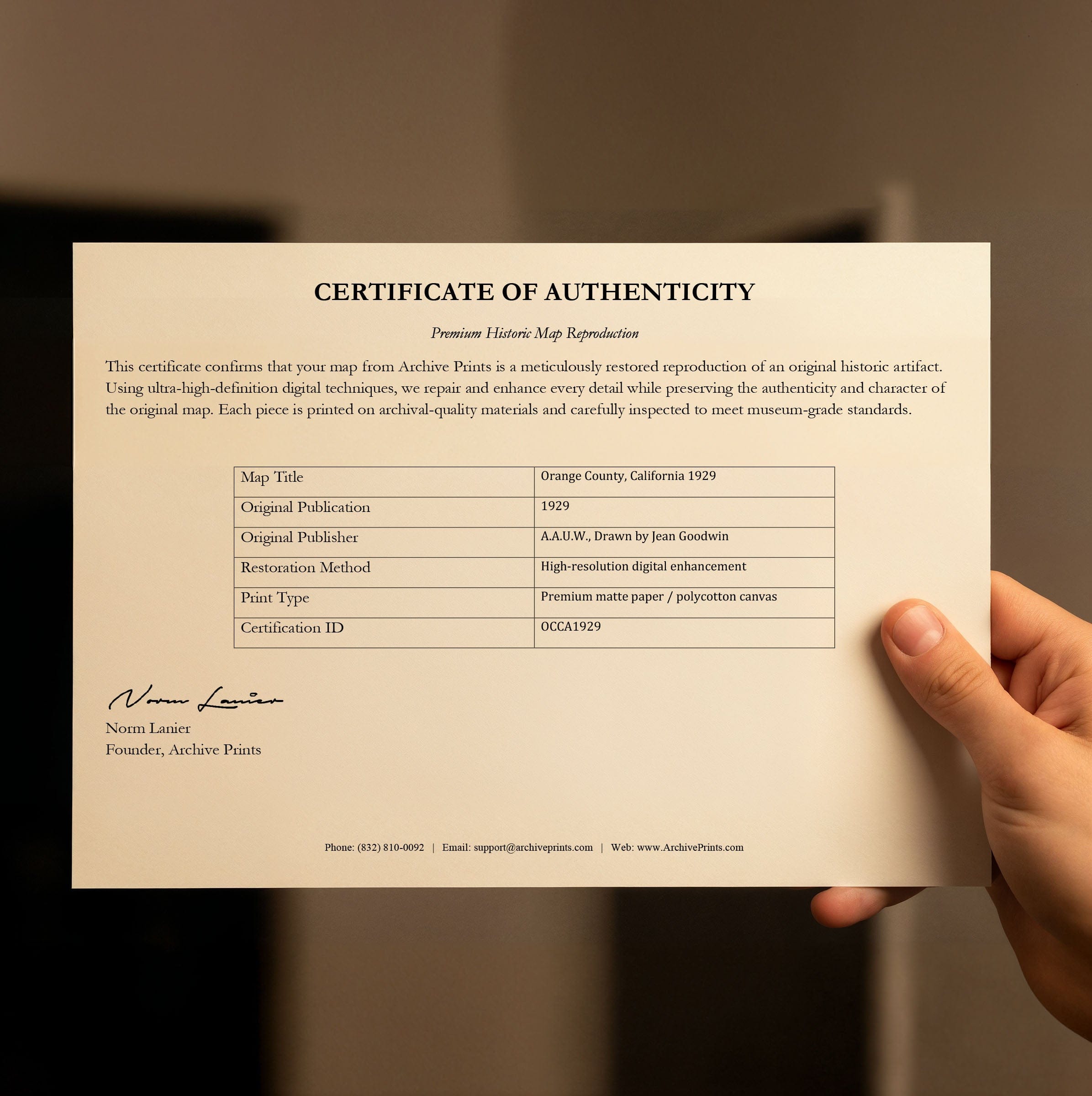
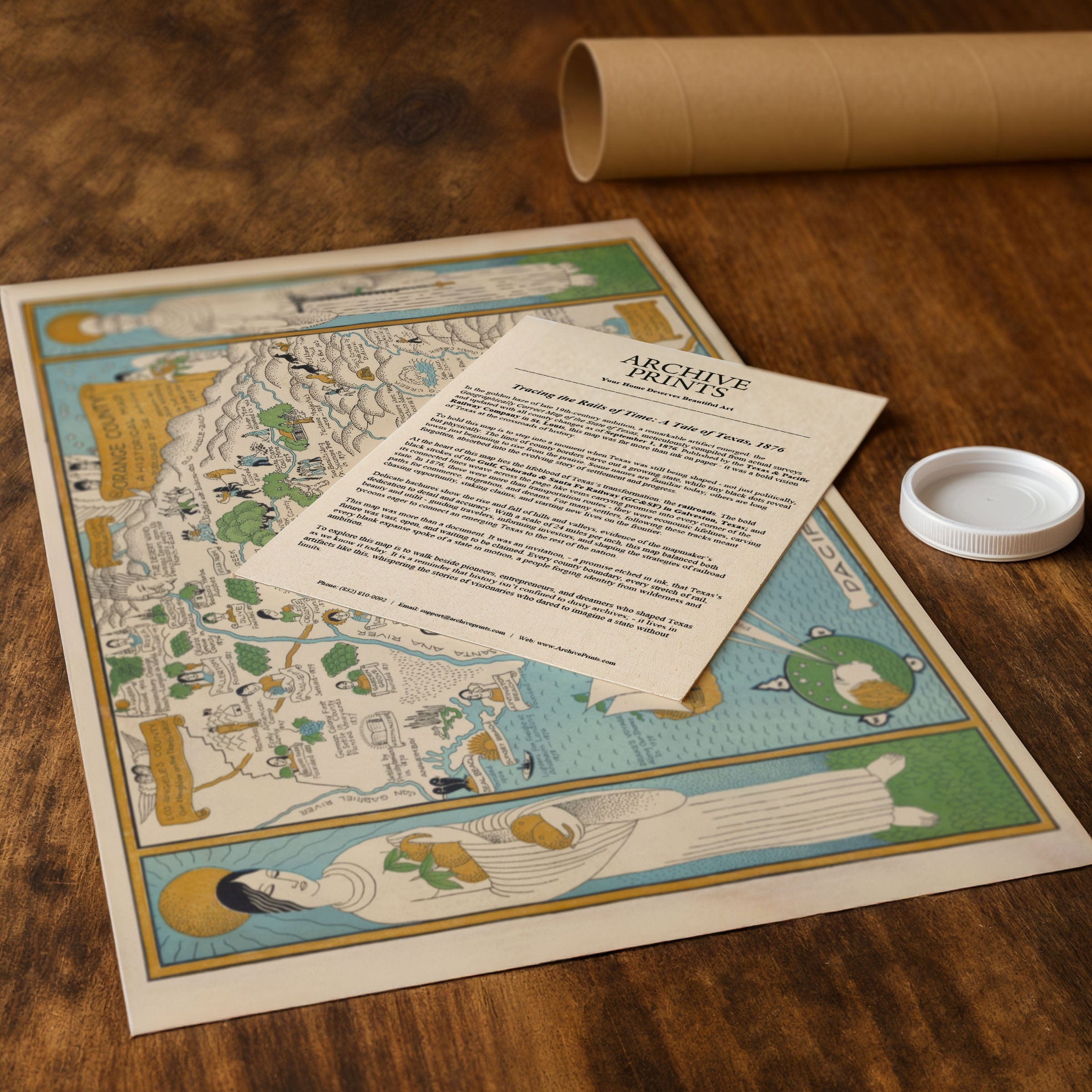
Perfect for Orange County historians, California map collectors, and anyone who cherishes Southern California heritage, this reproduction includes a custom historical certificate detailing the story behind the map. Printed on heavyweight archival paper or hand-stretched polycotton canvas, every illustrated vignette, mountain ridge, and coastal detail is restored in museum-grade clarity for generations of enjoyment. Paper prints ship rolled in heavy-duty tubes, while canvas editions arrive gallery-wrapped on solid pine stretcher bars with pre-installed hardware—ready to display the moment it arrives. Bring home a piece of Orange County history and celebrate the region's remarkable journey from ranchos and citrus groves to the vibrant communities that define Southern California today.
The Map Story
The map blends history and memory into a single narrative panorama. The rugged Santa Ana Mountains rise in stippled ridges on the eastern edge, dotted with the places where early explorers camped, bandits hid, miners dug for silver, and settlers carved out new homesteads. To the west, the coastal plain unfolds toward the Pacific, where Dana Point, Newport Harbor, and the beaches of Laguna and Seal Beach are shown as quiet, windswept shorelines long before tourism transformed them into thriving destinations. Scenes of fishermen, sailors, and early whalers recall a time when the sea was the county's earliest highway.
Throughout the map, hand-drawn vignettes retell the region's layered history. The Portolá Expedition crosses the foothills in 1769; Junípero Serra establishes the Mission San Juan Capistrano; vaqueros drive cattle across the great ranchos; pioneers found towns such as Anaheim, Santa Ana, Fullerton, and Tustin. Each small figure—whether an explorer, a prospector, a homesteader, or a schoolteacher—embodies a chapter in Orange County's transformation. The artist's playful touches, from angels to local legends, lend the map a sense of whimsy while honoring the people who shaped the region.
Agriculture anchors much of the story. Citrus groves, walnut orchards, and bean fields spread across the plain, echoing the prosperity that defined the county in the early 20th century. The presence of wagons, plows, and ranch hands reflects a place where work remained tied to the land, even as new railroads and roads linked these small communities to Los Angeles and beyond.
Jean Goodwin's drawing celebrates Orange County at the cusp of change—still rural, still grounded in its Spanish and Mexican heritage, yet on the verge of the suburban boom that would redefine Southern California. Her map invites the viewer to wander through time, discovering the layered histories that shaped the region long before freeways and neighborhoods covered the hills.
Materials
Choose options

Because every place has a story
Make History Personal
A vintage map is more than art.
It is a reminder of where life began.
Where memories were made.
Where hearts still live. Give the gift of place.
Beautifully preserved and made for the moments that matter.
Why Choose Us?
| Feature | Us | Competitor A | Competitor B |
|---|---|---|---|
| Hand Crafted | |||
| Museum Quality | |||
| 100 Year Guarantee | |||
| Restored by Hand | |||
| Certificate of Authenticity |

Art Prints
Archival quality colors. Best option if you'd like to frame it yourself

The Best Materials
We hand-stretched our canvas on solid American-grown pine stretcher bars. We use quality canvas and fade-resistant inks to create the lasting art. Canvases come with hardware already installed and ready to hang.
Need help?
Frequently Asked Questions
Order
All of our maps are meticulously restored reproductions of historic originals. Each piece is digitally repaired and color-corrected to bring out the finest details while preserving its authentic, vintage character.
Yes. All Archive Prints products are printed to order in the USA with archival materials.
We offer two premium formats:
- High-Quality Paper Posters – Printed on thick, archival-grade matte paper for rich, vibrant detail.
- Hand-Stretched Canvas Prints – Printed on premium polycotton canvas and mounted on 1.5" solid American pine stretcher bars for a gallery-quality finish.
We carefully digitally restore each map to enhance clarity and color while preserving its original look and historic charm. You’ll enjoy sharp details and a timeless vintage aesthetic that feels true to the original piece.
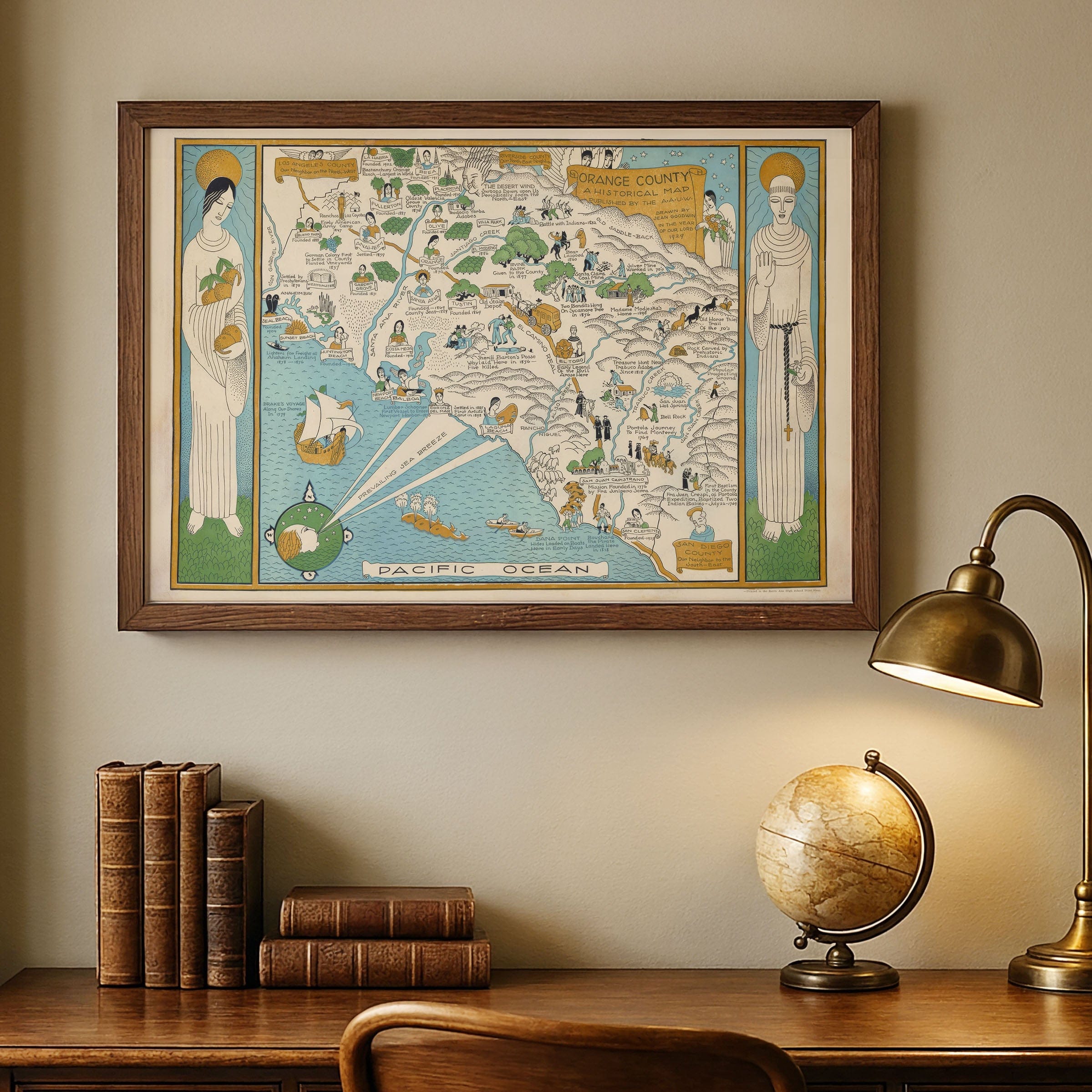
Yes, we do! We offer premium framing options to make your map ready to hang the moment it arrives. You can choose from Oak, Maple, Black, or Walnut frames directly on the product page. We also offer Stretched Canvas prints for a modern gallery look, as well as archival-quality Posters if you prefer to frame it yourself.
Yes! We offer free shipping on all products within the United States. Each map is carefully packaged to ensure it arrives in perfect condition.
If you’re not completely satisfied, you can return your order in new condition for a full refund. Return shipping costs are the responsibility of the customer.
Absolutely! Our maps make thoughtful, one-of-a-kind gifts for history lovers, map collectors, or anyone looking to add vintage character to their home or office. Choose between paper prints for framing or stretched canvas for a ready-to-hang presentation.
- Paper Posters → Shipped in durable, protective tubes to prevent creasing.
- Canvas Prints → Carefully wrapped, padded, and boxed to ensure safe delivery.
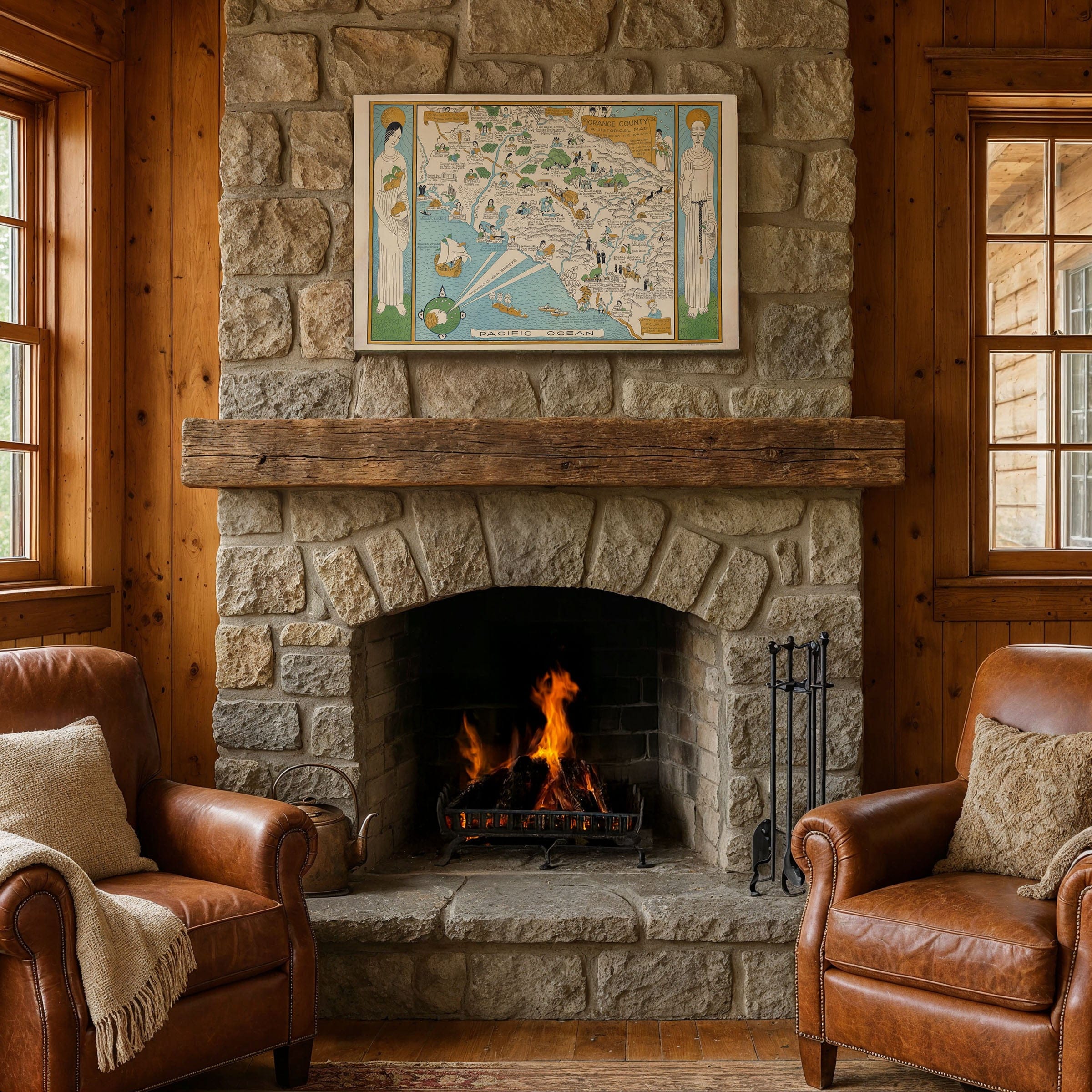
Our maps look stunning in a variety of settings, including:
- Living rooms and home offices
- Libraries and studies
- Corporate offices and conference rooms
- Restaurants, cafes, and boutique spaces