Santa Barbara Vintage Map - 1945 Fiesta & Old Spanish Days Pictorial Art
Discover the American Riviera's Golden Age
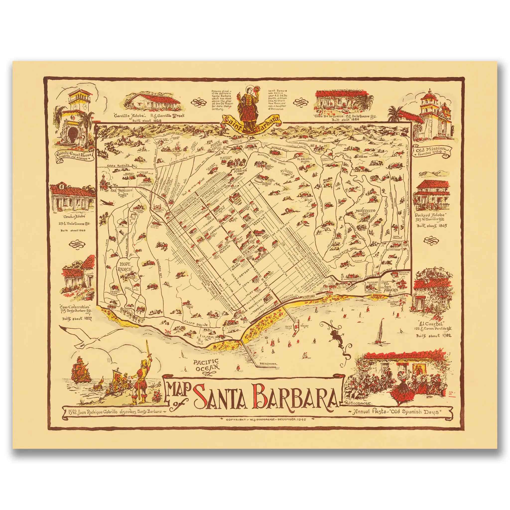
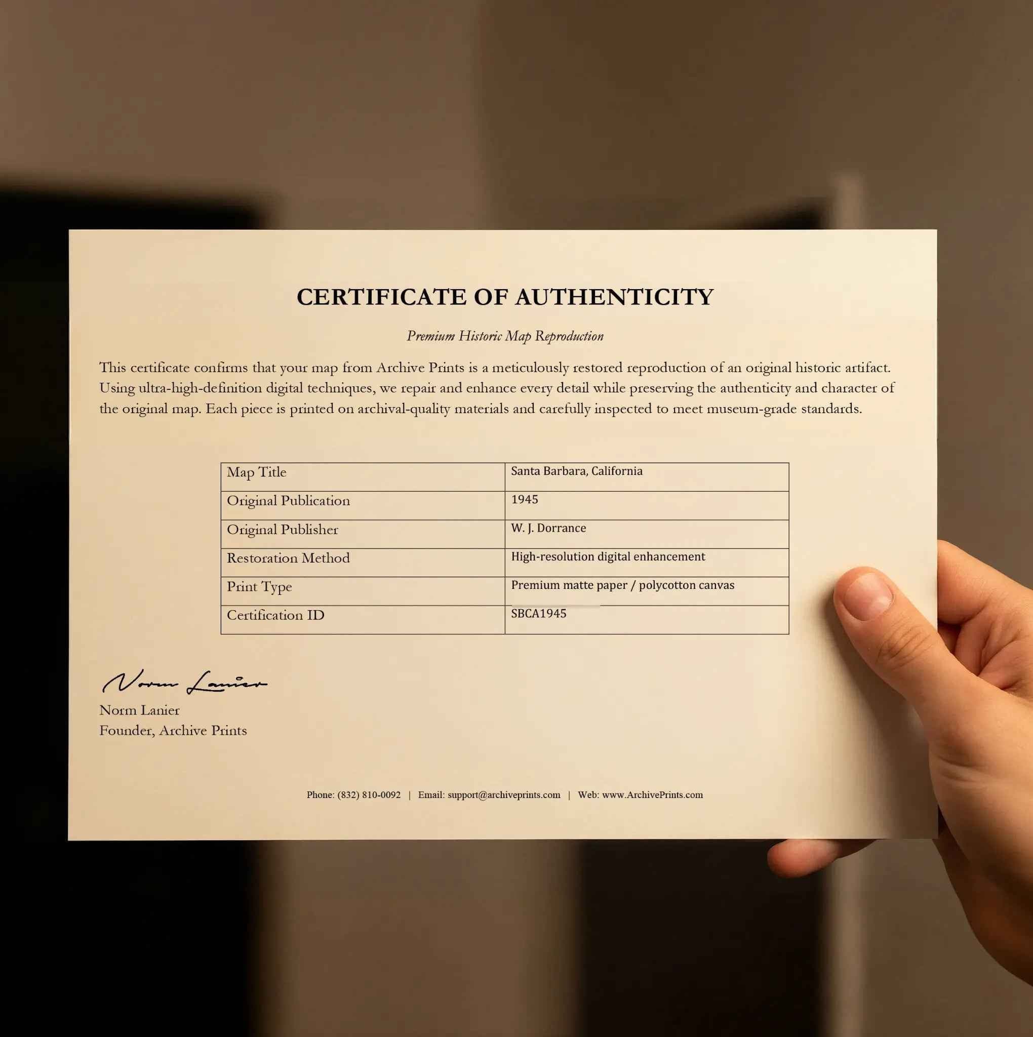
Step into the enchanting world of 1945 Santa Barbara with this delightfully illustrated pictorial map that captures California's American Riviera during the height of its post-war renaissance. Published by W.J. Dorrance, this extraordinary cartographic treasure celebrates Santa Barbara's Annual Fiesta and Old Spanish Days, showcasing the coastal paradise when it was establishing itself as one of America's most beloved resort destinations and cultural centers, blending Spanish colonial heritage with modern California sophistication.
Historical Significance
In 1945, Santa Barbara stood as the crown jewel of the California coast, a place where Spanish colonial architecture, Mediterranean climate, and American prosperity created a unique cultural oasis. This charming pictorial map documents the city during the immediate post-war period, when returning veterans and Hollywood celebrities were discovering Santa Barbara's timeless appeal, and the famous Old Spanish Days Fiesta was becoming one of California's premier cultural celebrations. The map showcases not just streets and landmarks, but the vibrant community life that made Santa Barbara a symbol of the California dream—from the historic Mission and Presidio to the bustling waterfront and the elegant estates nestled in the foothills.
Cartographic Excellence
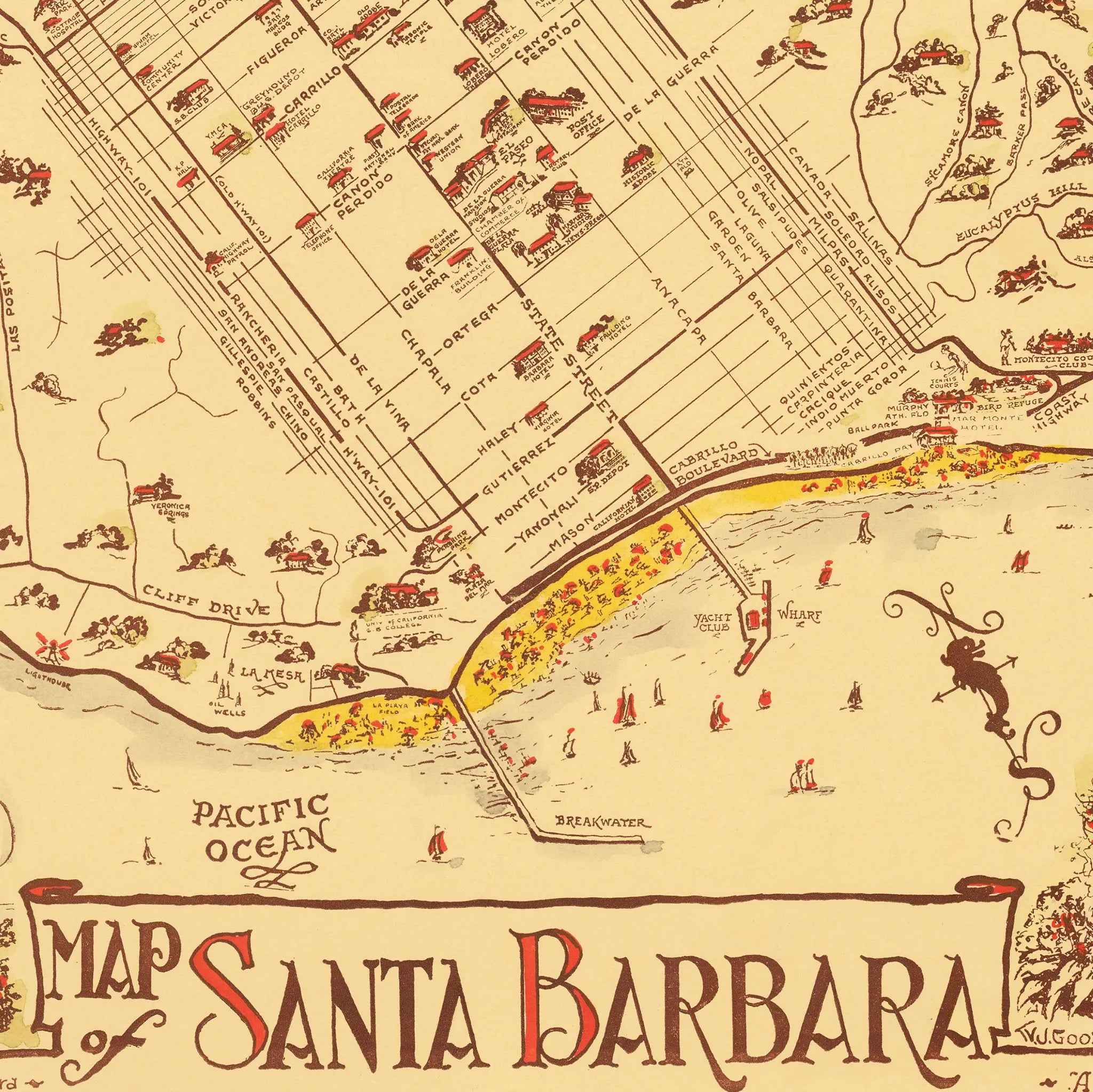
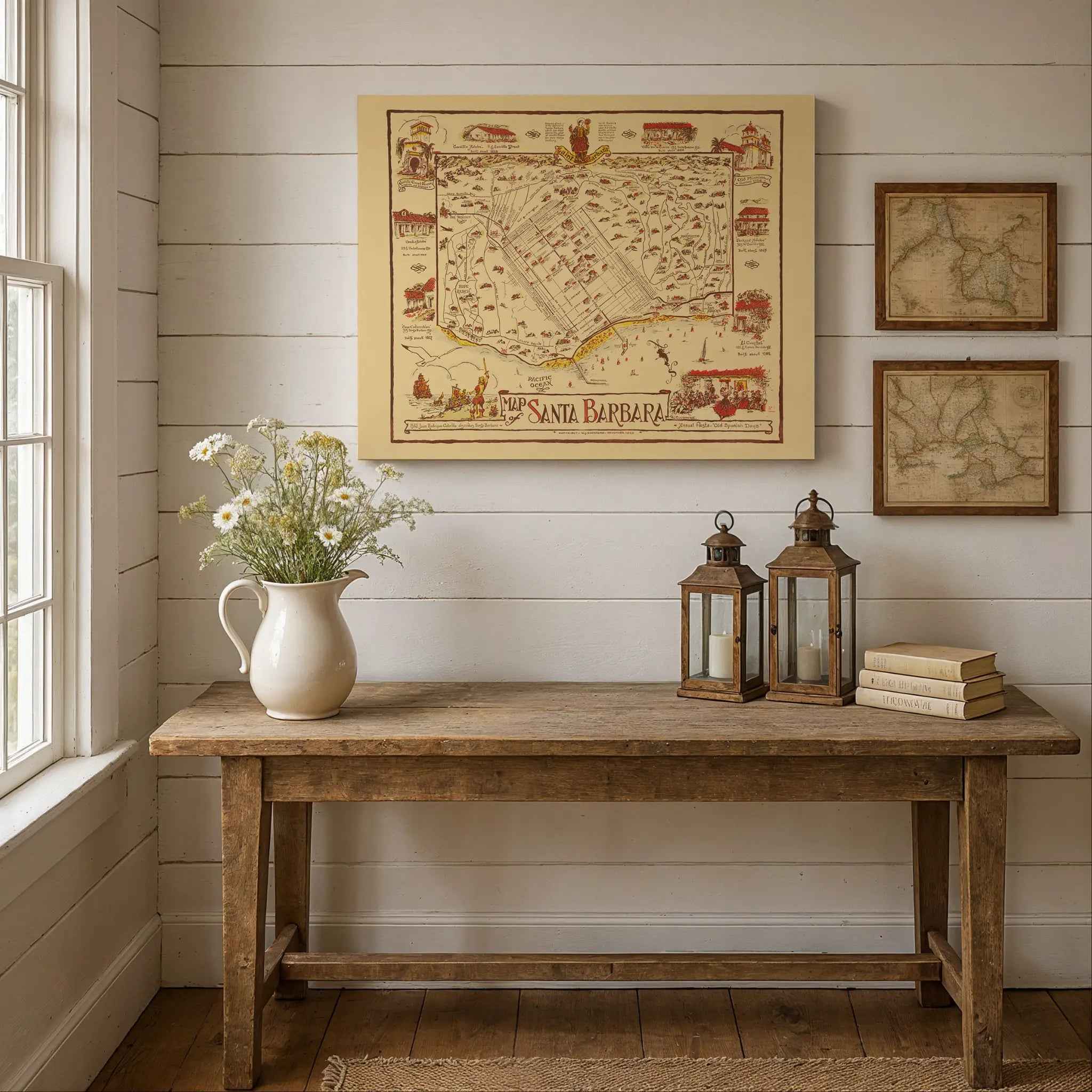
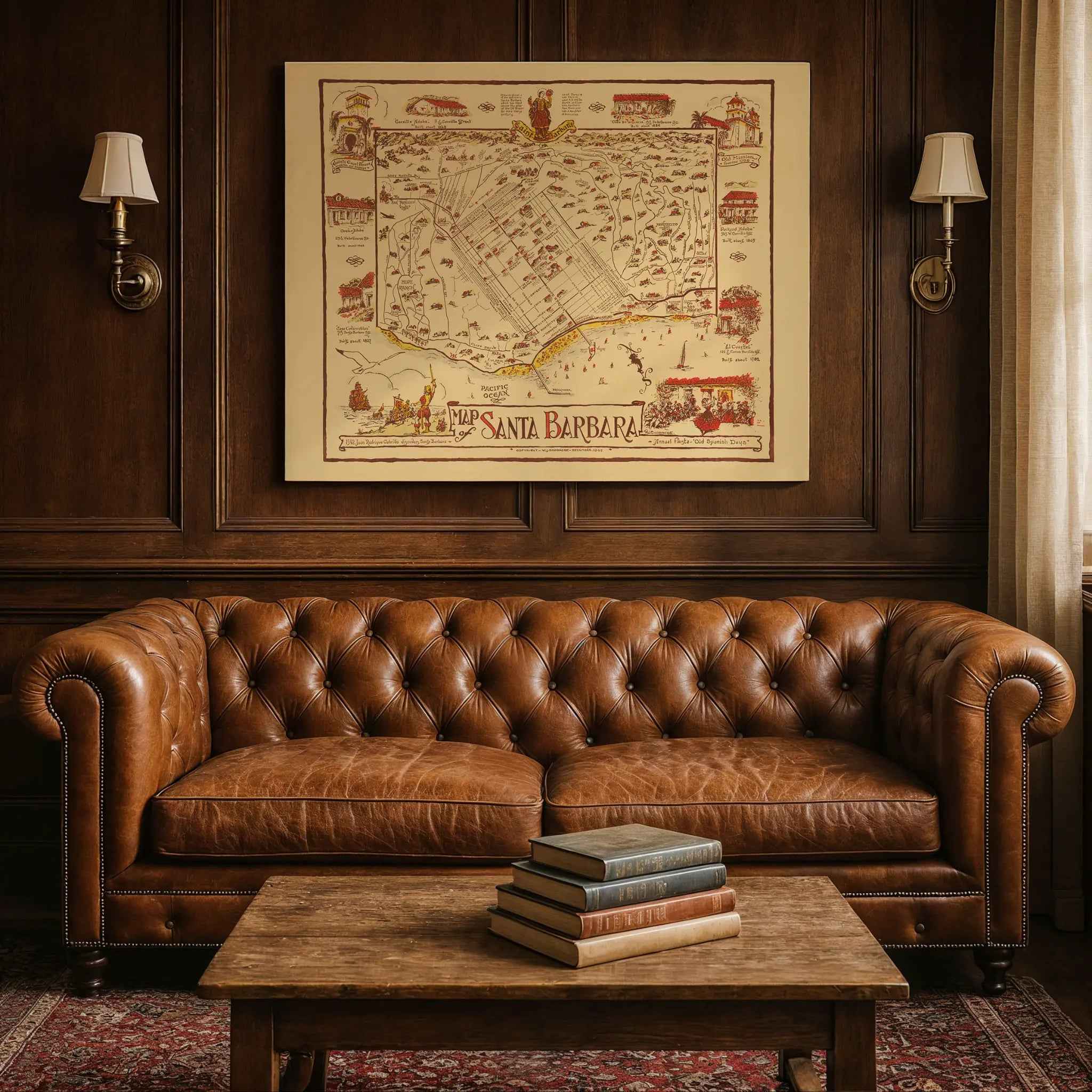
This masterful pictorial map combines practical navigation with artistic celebration, creating a unique document that serves as both functional guide and cultural tribute. The detailed rendering reveals Santa Barbara's distinctive relationship with both mountains and sea, showing how the city's Spanish colonial street grid nestles between the Santa Ynez Mountains and the Pacific Ocean. Charming illustrated vignettes around the border showcase the architectural treasures, cultural landmarks, and natural beauty that defined the Santa Barbara experience, from the iconic Mission bell tower to the yacht-filled harbor and the famous red-tile roofs that gave the city its distinctive character.
Coastal Paradise Story
Within the carefully mapped streets and coastline, the story of California's most elegant resort community unfolds through delightful illustrations of Spanish colonial buildings, cultural festivals, and coastal recreation. The map captures Santa Barbara at the height of its influence as a cultural destination, featuring everything from the historic Mission Santa Barbara and the Presidio to the bustling State Street shopping district and the scenic waterfront where pleasure craft and fishing boats shared the harbor. The prominent celebration of Old Spanish Days reflects the community's deep appreciation for its multicultural heritage and the traditions that made Santa Barbara a unique blend of Spanish, Mexican, and American influences.
California Heritage
Beyond its function as a tourist guide, this map represents the vision and cultural pride that made Santa Barbara the symbol of California's sophisticated coastal lifestyle. The careful documentation of historic buildings, cultural events, and natural landmarks reveals how the community was designed to preserve its Spanish colonial character while embracing modern amenities and cultural sophistication. The presence of both historic missions and contemporary resort facilities captures the unique balance of tradition and progress that made Santa Barbara a model for thoughtful development and cultural preservation.
This detailed pictorial record preserves Santa Barbara at a moment of tremendous cultural confidence and prosperity—when the city was celebrating its Spanish heritage while establishing itself as America's premier coastal resort destination. The map captures the essence of a community that valued both historical preservation and modern sophistication, creating the timeless elegance and cultural richness that defines Santa Barbara today. Perfect for Santa Barbara enthusiasts, California history lovers, and collectors of vintage resort memorabilia, this restored map serves as both a nostalgic treasure and a stunning piece of wall art that celebrates the enduring charm of the American Riviera.
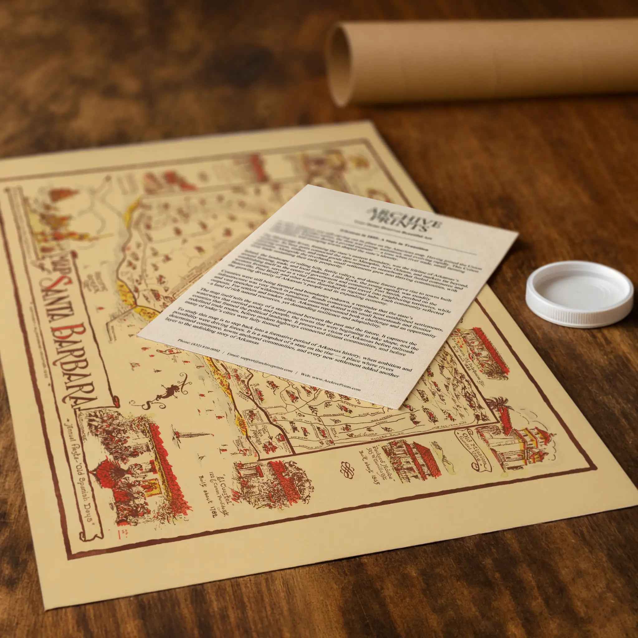
Each reproduction includes a custom historical letter detailing Santa Barbara's role in California's post-war cultural renaissance and the Spanish colonial heritage that made the city a unique American destination. Printed on heavyweight archival paper or premium canvas, every architectural detail, coastal feature, and cultural vignette is preserved with museum-quality clarity through expert digital restoration.
For protection and presentation, paper prints arrive rolled in sturdy mailing tubes, while canvas prints come gallery-wrapped on solid pine stretcher bars with pre-installed hanging hardware—ready to display immediately.
Bring home a piece of California paradise with this captivating glimpse into Santa Barbara during its golden age as the American Riviera.
The Map Story
This whimsical pictorial map of Santa Barbara was drawn by W. J. Dorrance in 1936 for the city’s Annual Fiesta celebration known as Old Spanish Days. It is as much a piece of artwork as it is a functional map, blending history, architecture, and community spirit into a single colorful composition. The city, nestled between the Santa Ynez Mountains and the Pacific Ocean, is shown as a lively coastal town where Spanish colonial heritage and modern California life intertwine.
The map’s central grid depicts the streets of Santa Barbara with their orderly layout, while the margins are filled with charming illustrations of the city’s landmarks. The Old Mission, founded in 1786, stands proudly to the right, symbolizing the city’s origins under Spanish Franciscan influence. Surrounding vignettes highlight adobe homes, the Presidio, and civic buildings like the County Courthouse, each rendered with loving detail. These images tie the viewer to both the deep colonial roots of the region and the revivalist architecture that defined the city after the devastating 1925 earthquake.
The coastline and harbor dominate the lower edge of the sheet, where sailboats and fishermen work the waters of the Pacific. Cabrillo, the sixteenth-century explorer credited with naming the channel, is drawn in the lower left corner to remind viewers of Santa Barbara’s earliest European encounter. Hope Ranch and Montecito appear on the periphery as pastoral estates and communities already famous for beauty and refinement.
The map was created during the height of Old Spanish Days, a civic festival established in 1924 to honor the city’s multicultural heritage. Its costumes, music, dance, and pageantry are echoed here in scenes of parades and celebrations. Dorrance’s map is as much an invitation to join the fiesta as it is a record of geography. The design captures the romantic image of Santa Barbara that city boosters promoted nationwide during the 1930s: a sunlit coastal paradise steeped in history and graced by Mediterranean style.
Seen today, the map is more than nostalgic decoration. It documents the city at a key moment between Depression-era recovery and prewar growth. It preserves how residents wished to present their community to the wider world— a place of tradition, hospitality, and beauty on California’s coast. As a historic artifact it continues to charm with its mixture of accuracy and artistry, blending cartography with civic pride in unforgettable fashion.
Materials
Hand‑Stretched Canvas: If you choose canvas, we use a premium cotton‑poly blend stretched over solid pine frames. Each canvas is carefully hand‑stretched for a tight, gallery‑quality finish that's ready to hang right out of the box.
Vivid, Fade‑Resistant Inks: We use professional‑grade inks that are UV‑resistant, so your print retains its rich colors even when displayed in bright rooms.
Expert Restoration: Every map is digitally restored by skilled artisans. We preserve the character of the original while enhancing clarity, so you see the map as it was meant to be seen.
Secure Packaging: Paper prints are rolled in heavy‑duty mailing tubes, and canvases are cushioned in reinforced boxes to ensure they arrive in pristine condition.
Choosing one of our prints means investing in craftsmanship. We combine historical authenticity with modern print technology and premium materials, giving you a work of art built to stand the test of time.
Choose options

Because every place has a story
Make History Personal
A vintage map is more than art.
It is a reminder of where life began.
Where memories were made.
Where hearts still live. Give the gift of place.
Beautifully preserved and made for the moments that matter.
Why Choose Us?
| Feature | Us | Competitor A | Competitor B |
|---|---|---|---|
| Hand Crafted | |||
| Museum Quality | |||
| 100 Year Guarantee | |||
| Restored by Hand | |||
| Certificate of Authenticity |

Art Prints
Archival quality colors. Best option if you'd like to frame it yourself

The Best Materials
We hand-stretched our canvas on solid American-grown pine stretcher bars. We use quality canvas and fade-resistant inks to create the lasting art. Canvases come with hardware already installed and ready to hang.
Need help?
Frequently Asked Questions
Order
All of our maps are meticulously restored reproductions of historic originals. Each piece is digitally repaired and color-corrected to bring out the finest details while preserving its authentic, vintage character.
Yes. All Archive Prints products are printed to order in the USA with archival materials.
We offer two premium formats:
- High-Quality Paper Posters – Printed on thick, archival-grade matte paper for rich, vibrant detail.
- Hand-Stretched Canvas Prints – Printed on premium polycotton canvas and mounted on 1.5" solid American pine stretcher bars for a gallery-quality finish.
We carefully digitally restore each map to enhance clarity and color while preserving its original look and historic charm. You’ll enjoy sharp details and a timeless vintage aesthetic that feels true to the original piece.
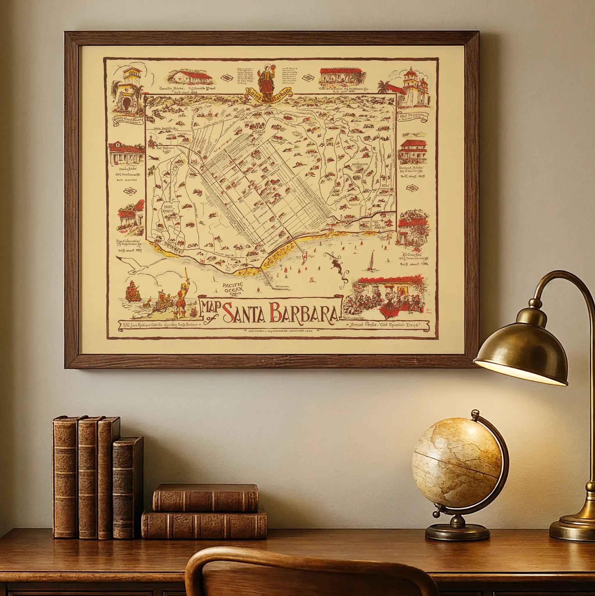
Yes, we do! We offer premium framing options to make your map ready to hang the moment it arrives. You can choose from Oak, Maple, Black, or Walnut frames directly on the product page. We also offer Stretched Canvas prints for a modern gallery look, as well as archival-quality Posters if you prefer to frame it yourself.
Yes! We offer free shipping on all products within the United States. Each map is carefully packaged to ensure it arrives in perfect condition.
If you’re not completely satisfied, you can return your order in new condition for a full refund. Return shipping costs are the responsibility of the customer.
Absolutely! Our maps make thoughtful, one-of-a-kind gifts for history lovers, map collectors, or anyone looking to add vintage character to their home or office. Choose between paper prints for framing or stretched canvas for a ready-to-hang presentation.
- Paper Posters → Shipped in durable, protective tubes to prevent creasing.
- Canvas Prints → Carefully wrapped, padded, and boxed to ensure safe delivery.
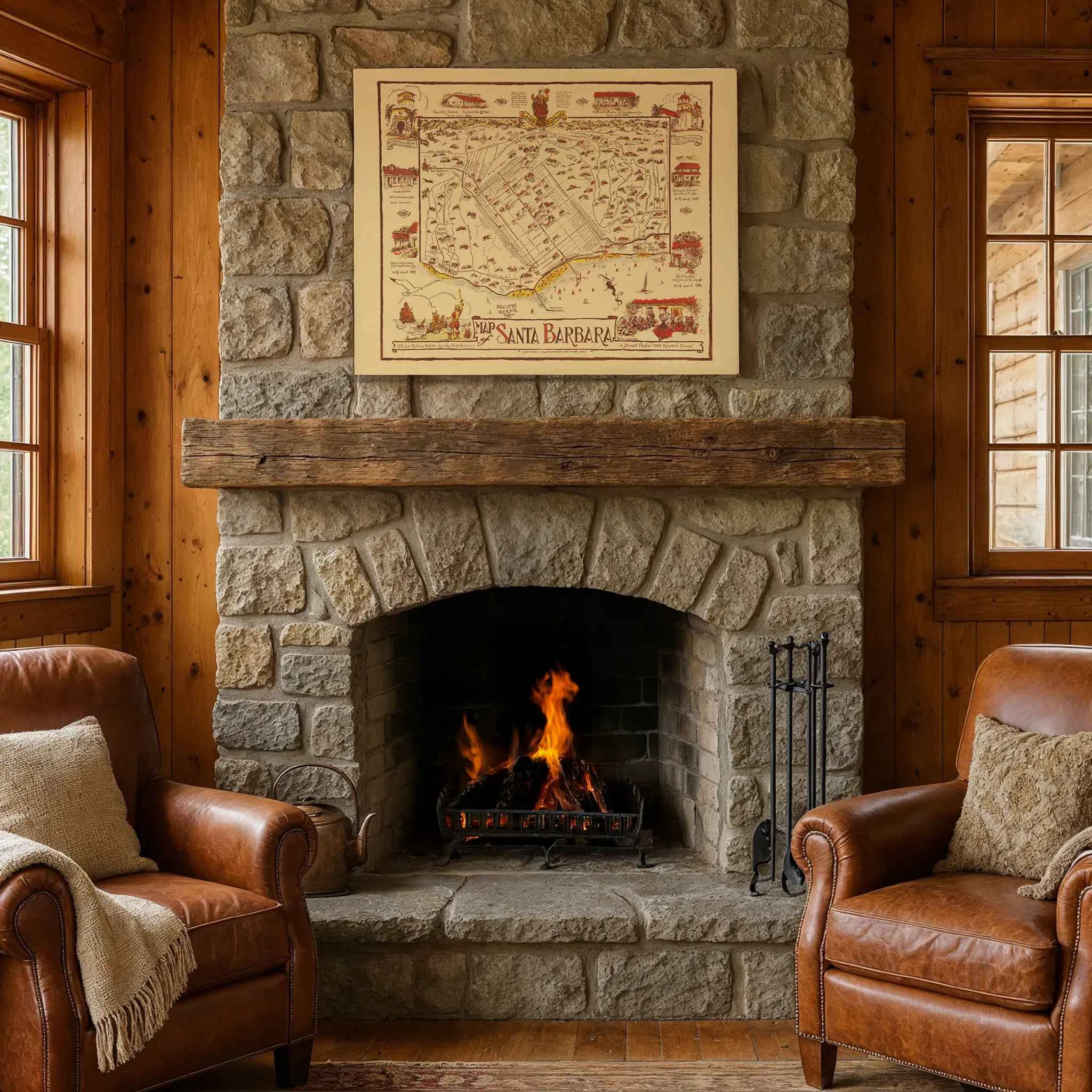
Our maps look stunning in a variety of settings, including:
- Living rooms and home offices
- Libraries and studies
- Corporate offices and conference rooms
- Restaurants, cafes, and boutique spaces