City Maps
Vintage City Maps
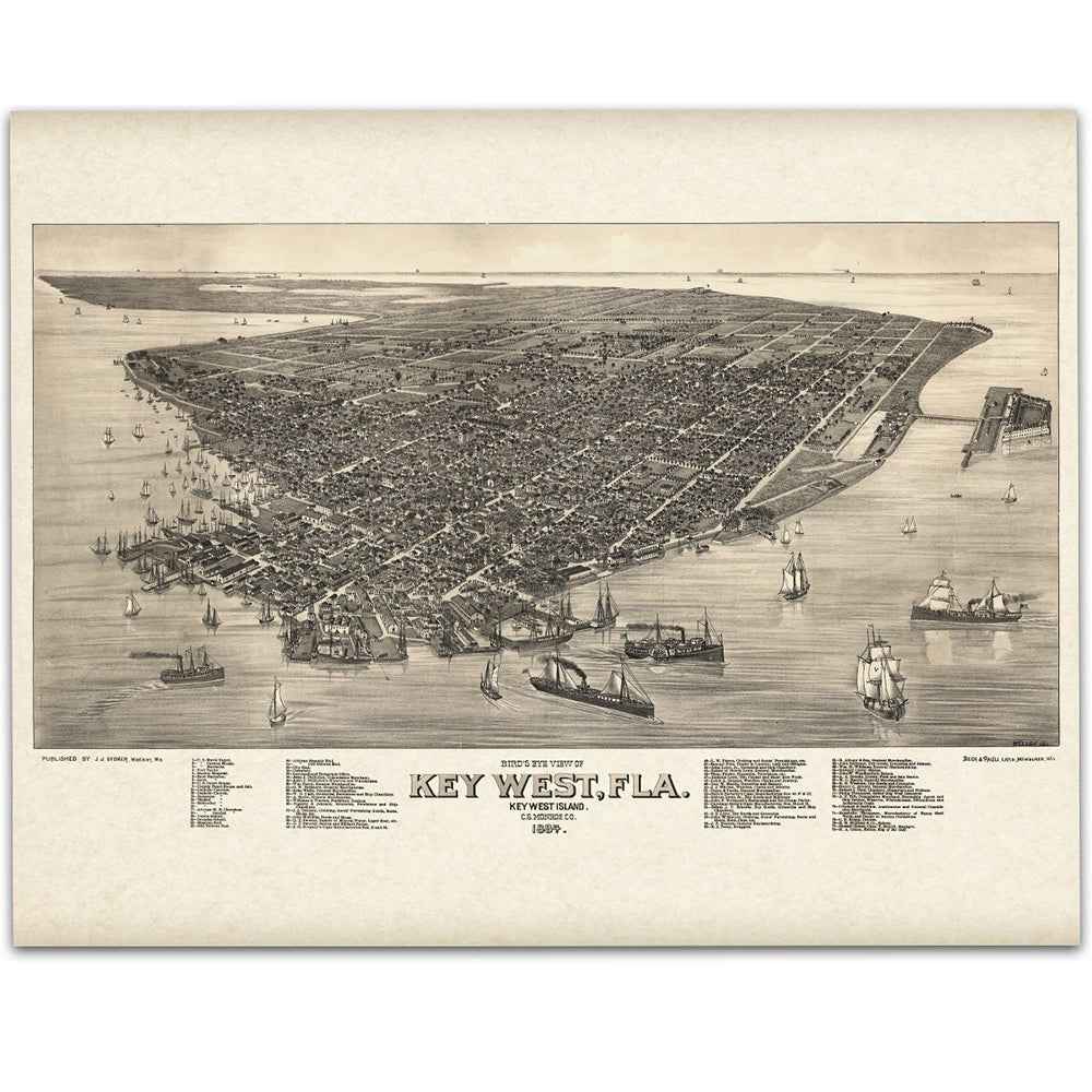
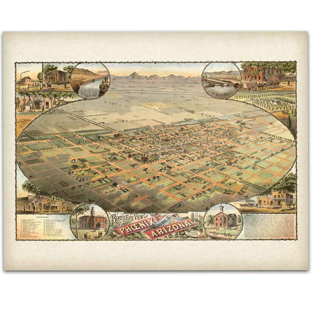
Restored bird's-eye views and historic city plans of American cities — the street you grew up on, the skyline you moved to, the town where it all started. Each map is digitally restored from an original historical source and printed on heavyweight archival paper or hand-stretched canvas.
From 1870s Memphis and 1874 Denver to 1931 Chicago and 1939 Manhattan, these panoramic city views capture American towns as they actually looked — every building drawn by hand, block by block. They make some of the most personal gifts we sell: a housewarming, a hometown, a first apartment, a city someone left and still misses.