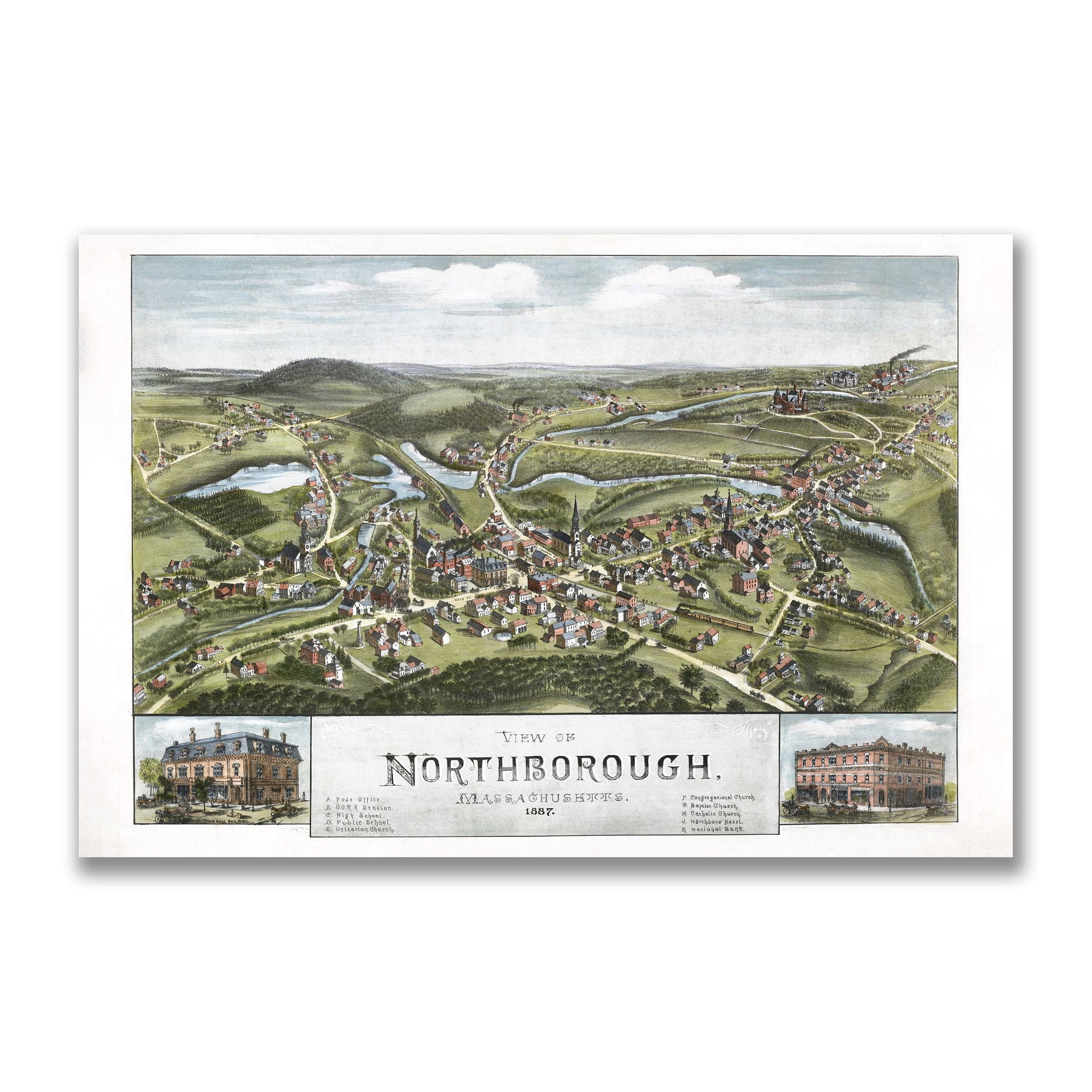
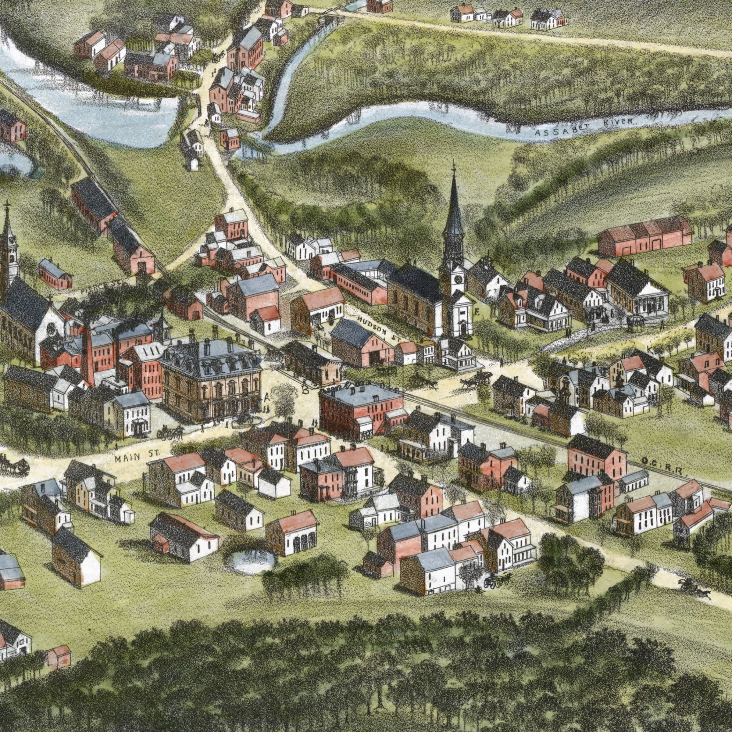
Northborough, Massachusetts Map 1887
Sale priceFrom $34.00
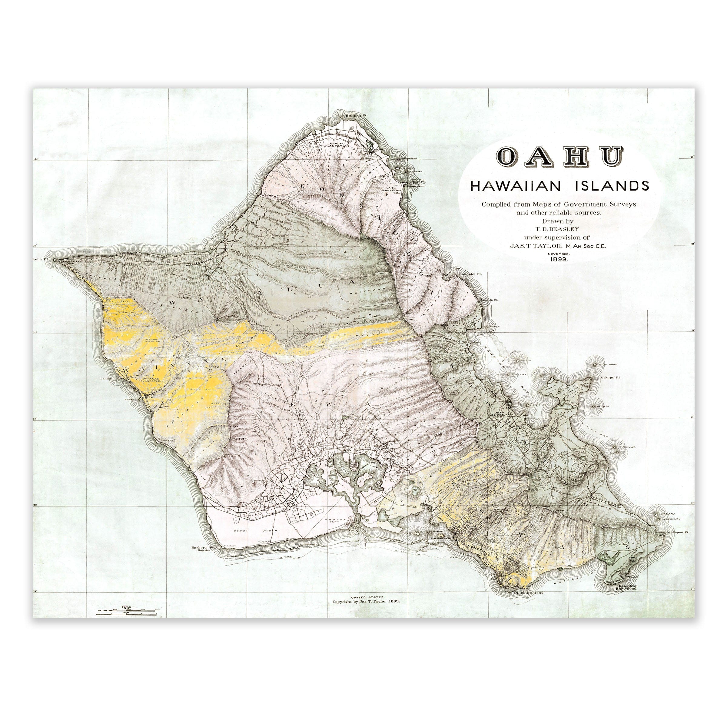
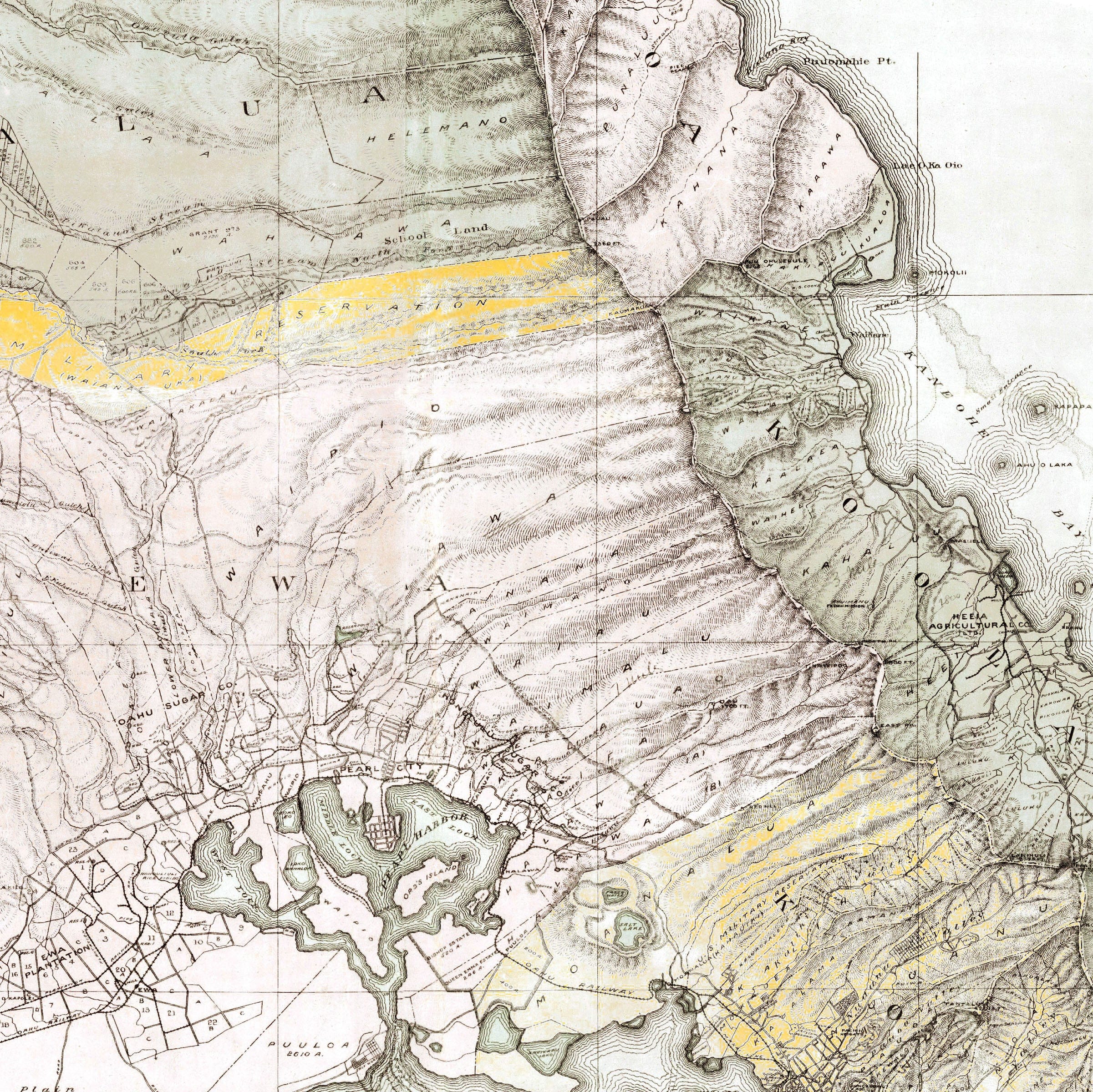
Oahu, Hawaiian Islands Map 1899
Sale priceFrom $34.00
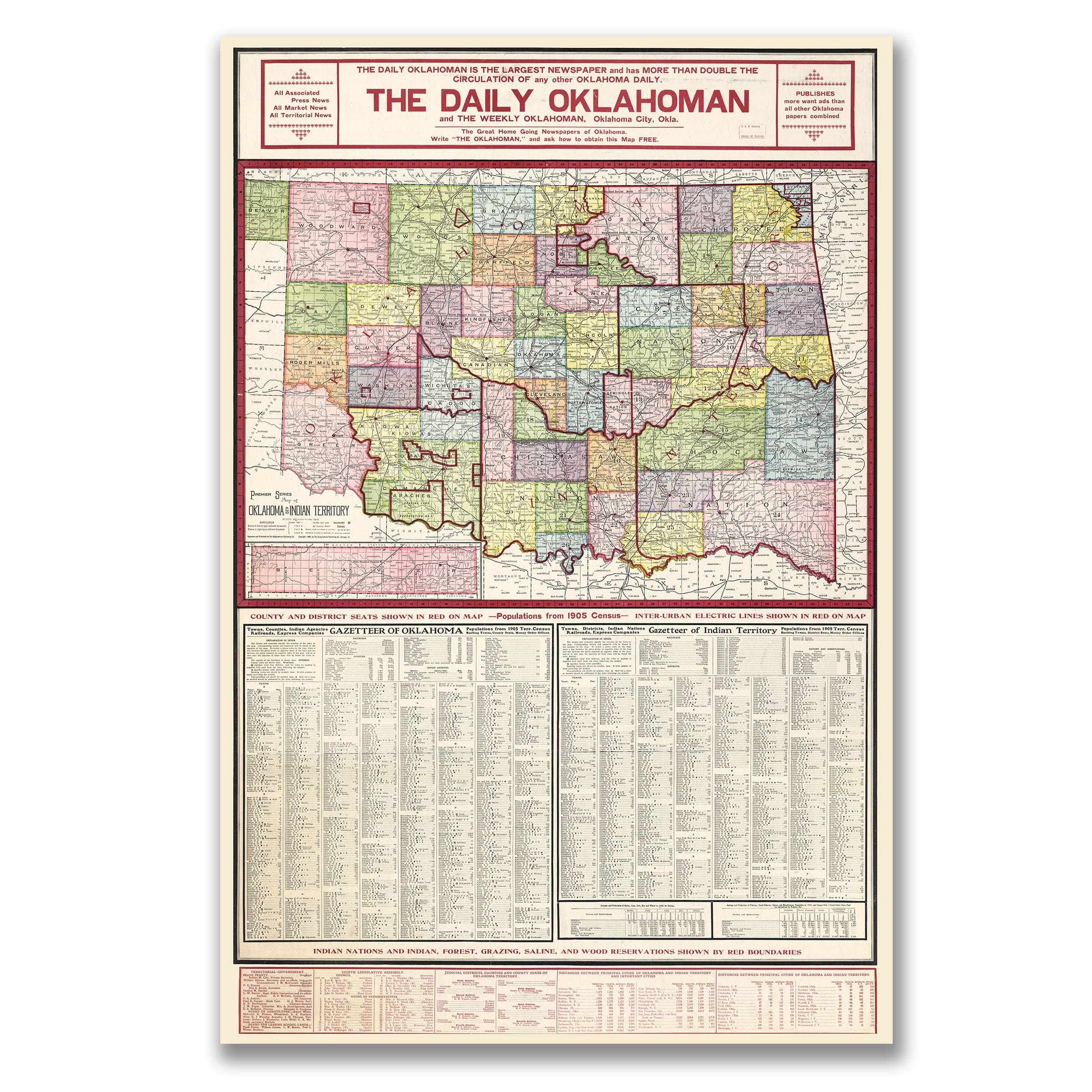
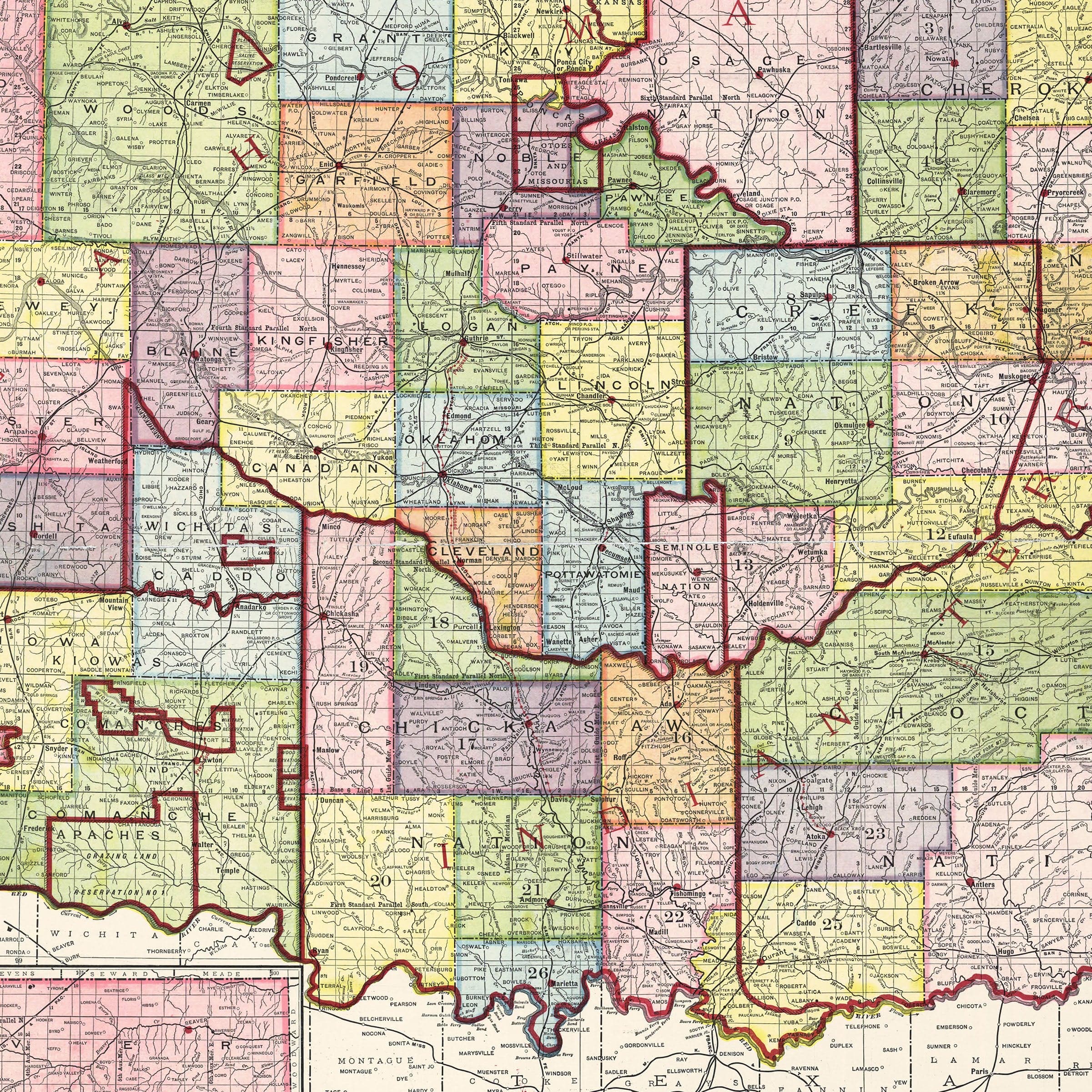
Oklahoma & Indian Territory Map 1905
Sale priceFrom $34.00
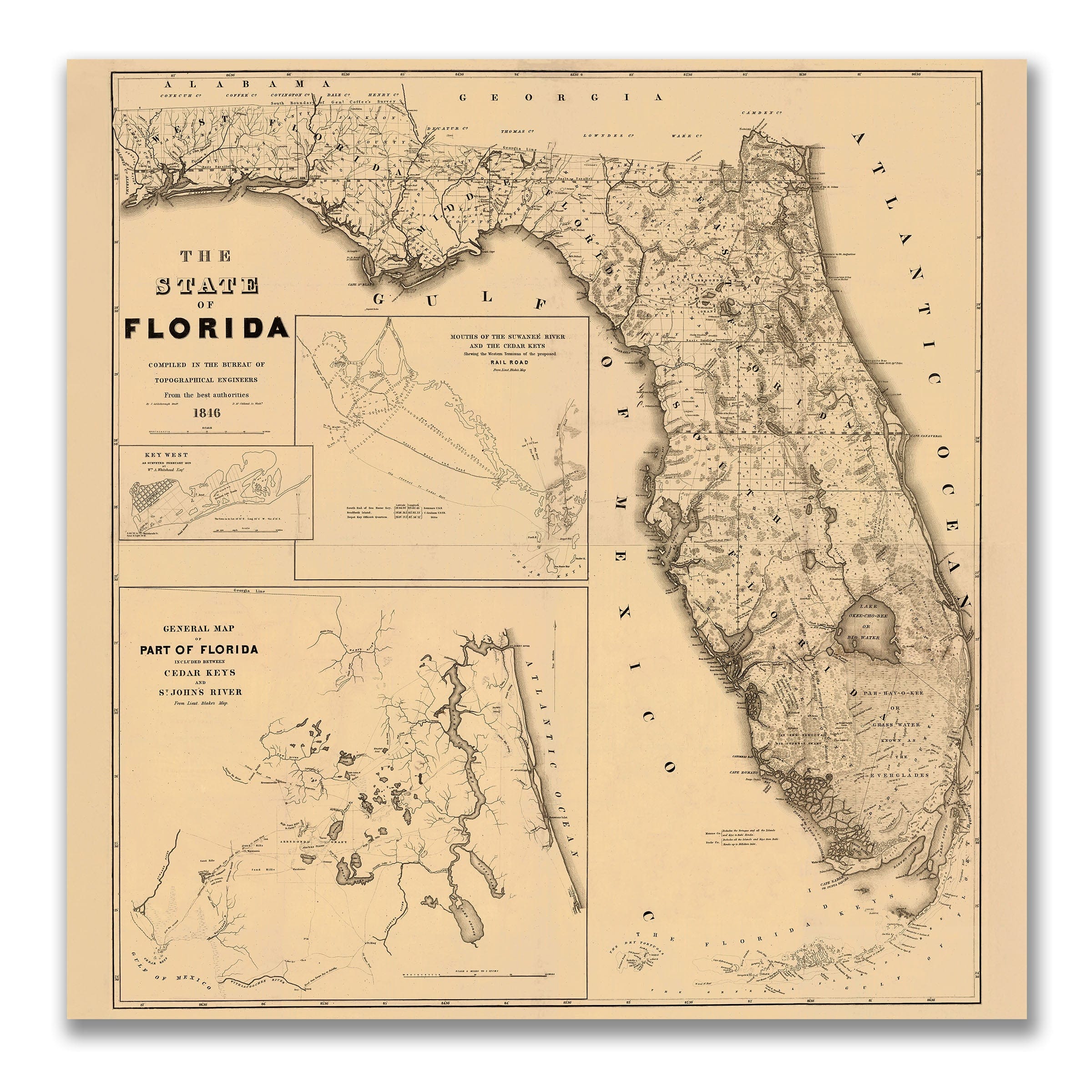

Florida Map 1846 - Topographical Engineers Survey
Sale priceFrom $34.00
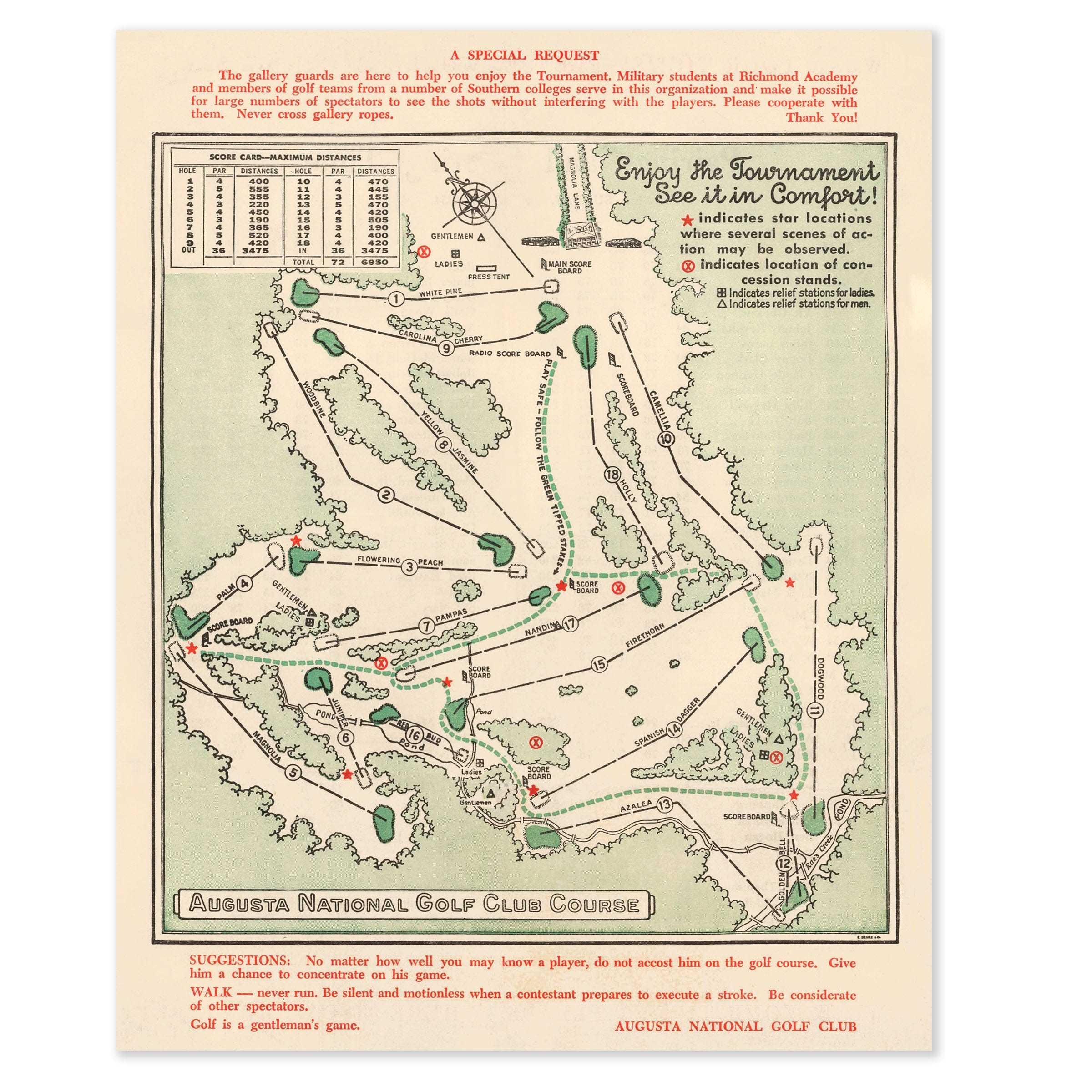
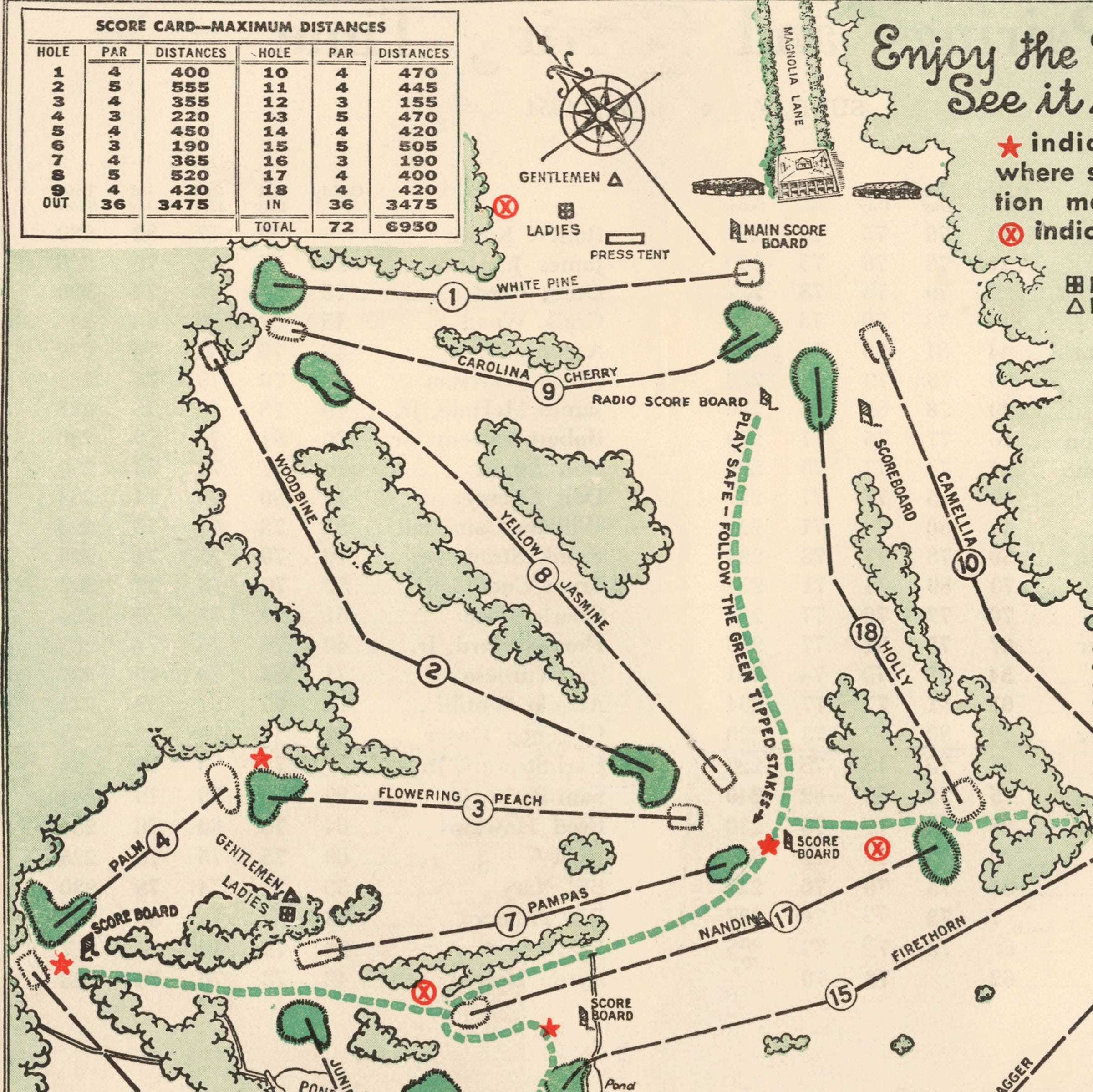
Augusta National Golf Club Course Map 1954 - Masters Tournament Guide
Sale priceFrom $34.00
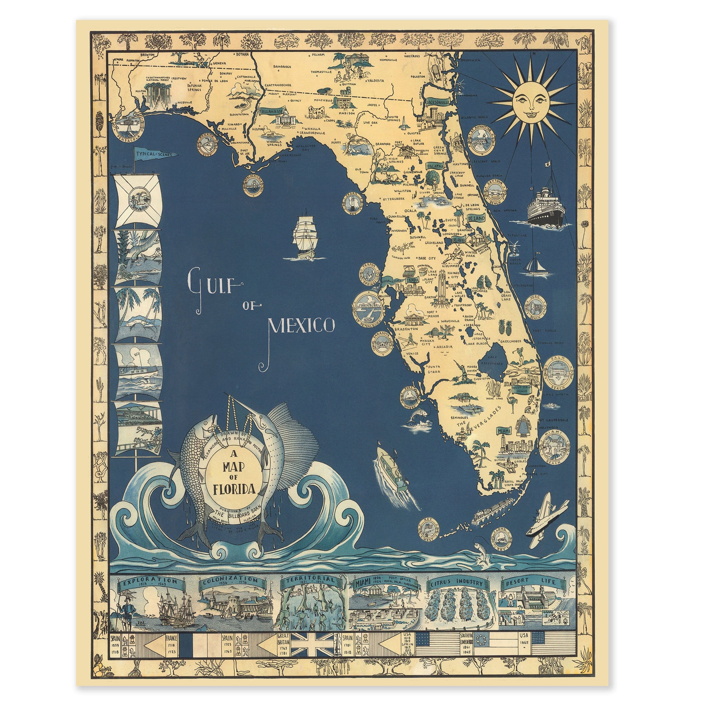
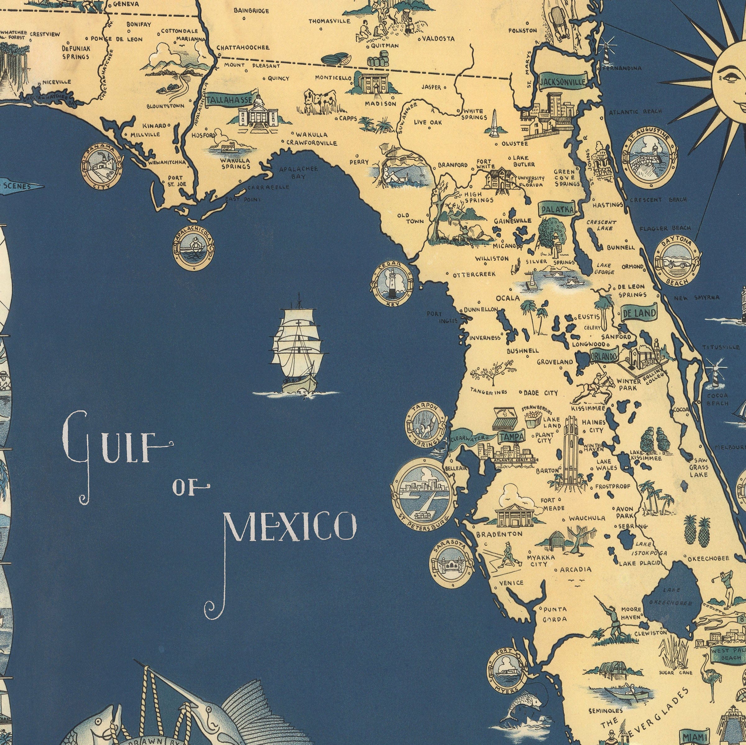
Antique Map of Florida c. 1930s - Pictorial Sunshine State
Sale priceFrom $34.00
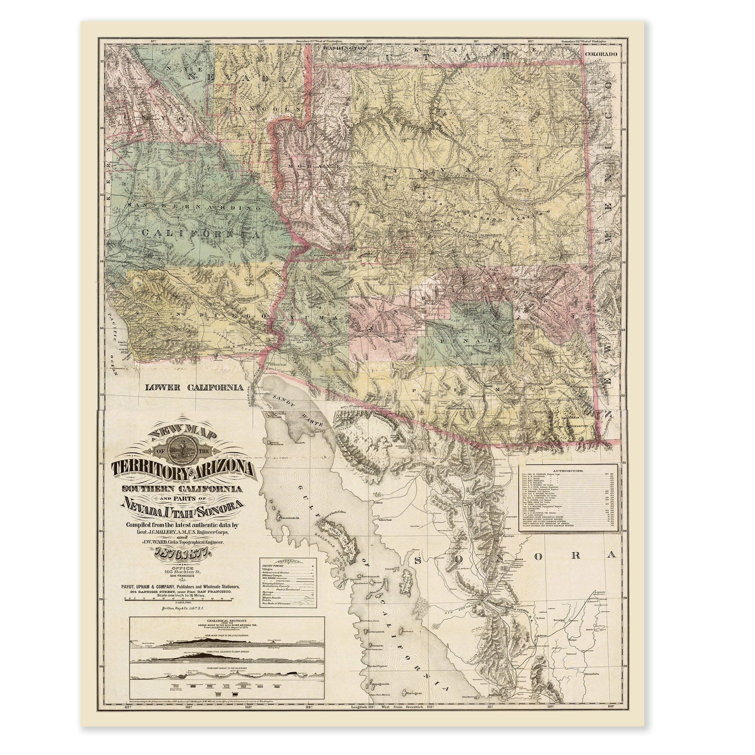
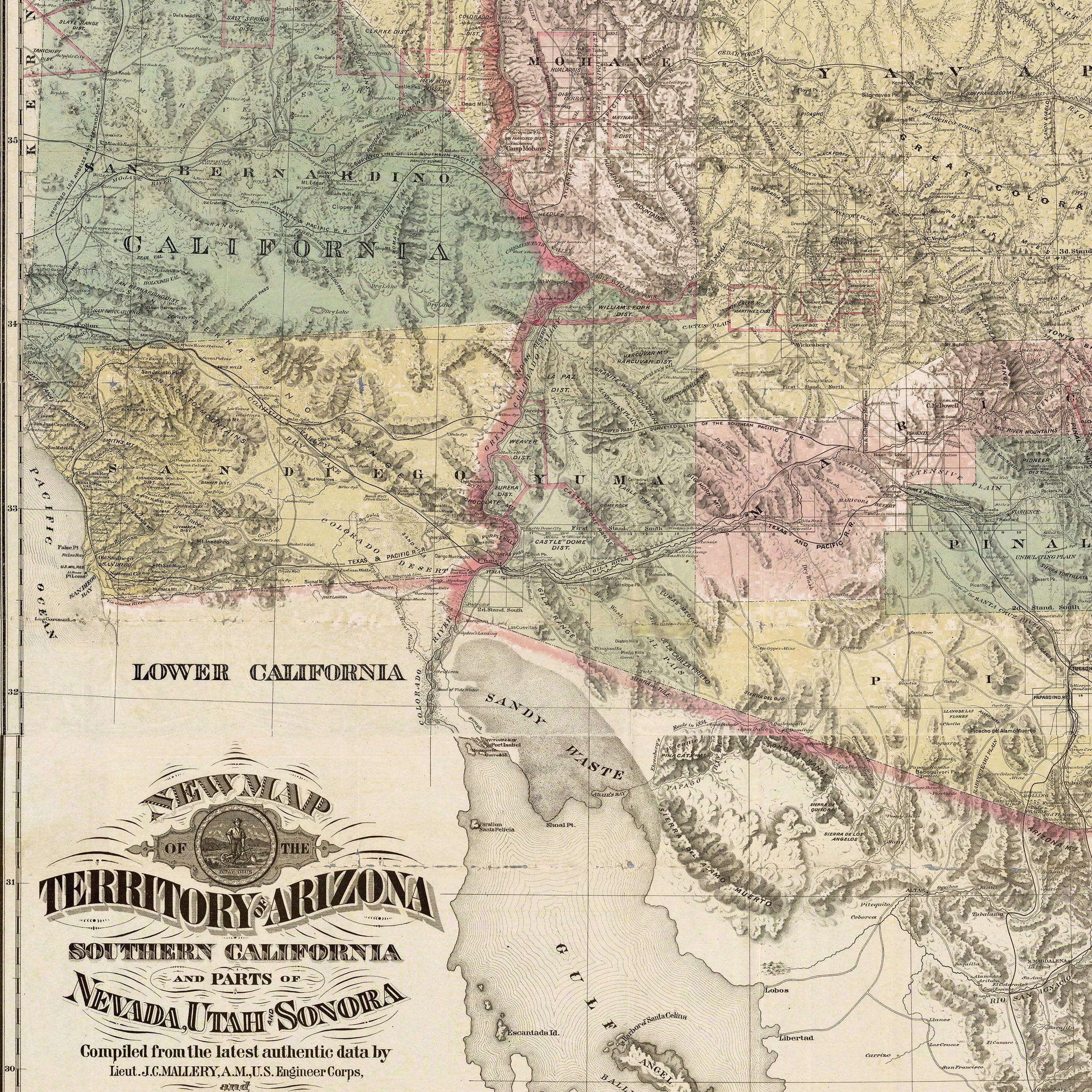
Arizona Territory Map 1877 - Payot Upham Survey
Sale priceFrom $34.00
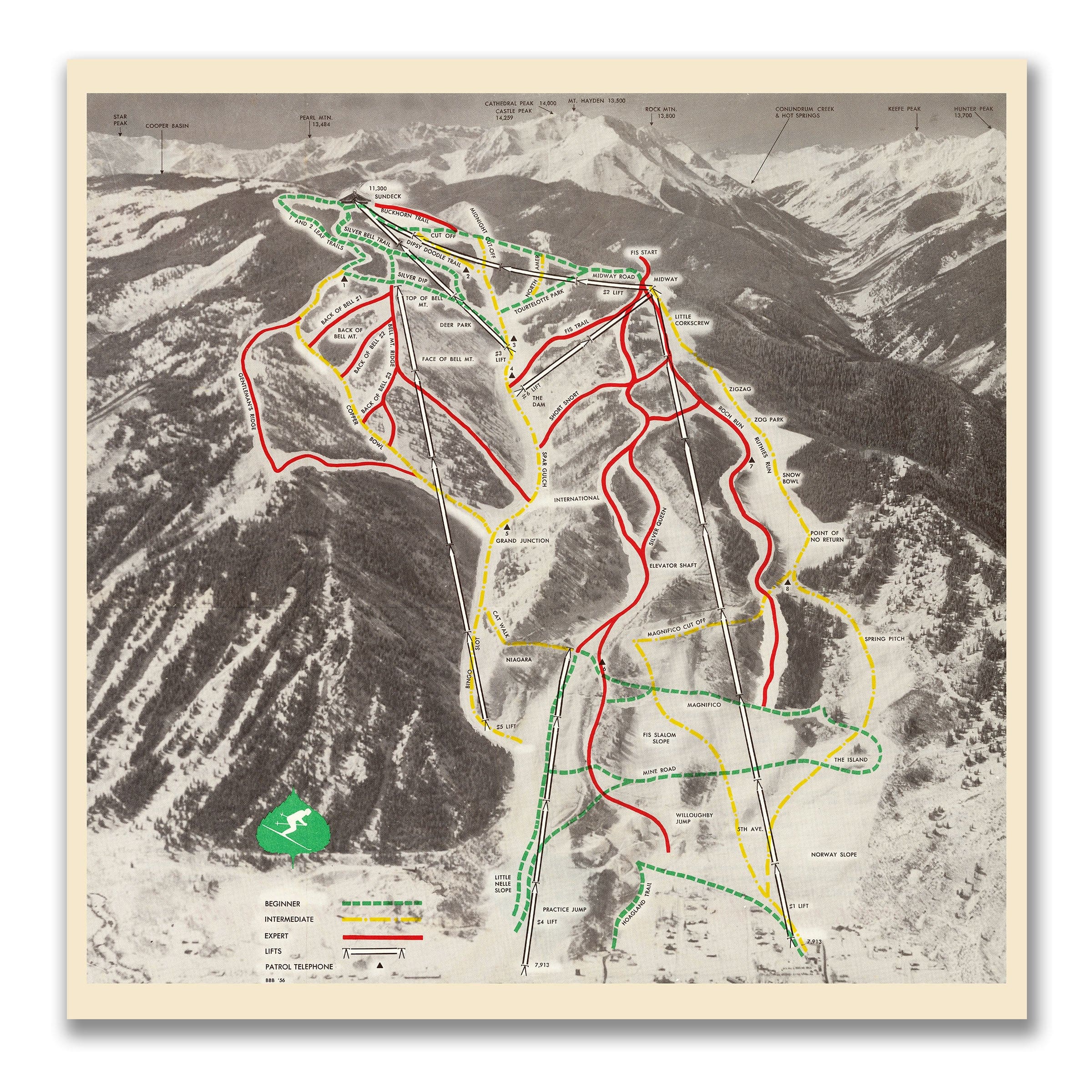
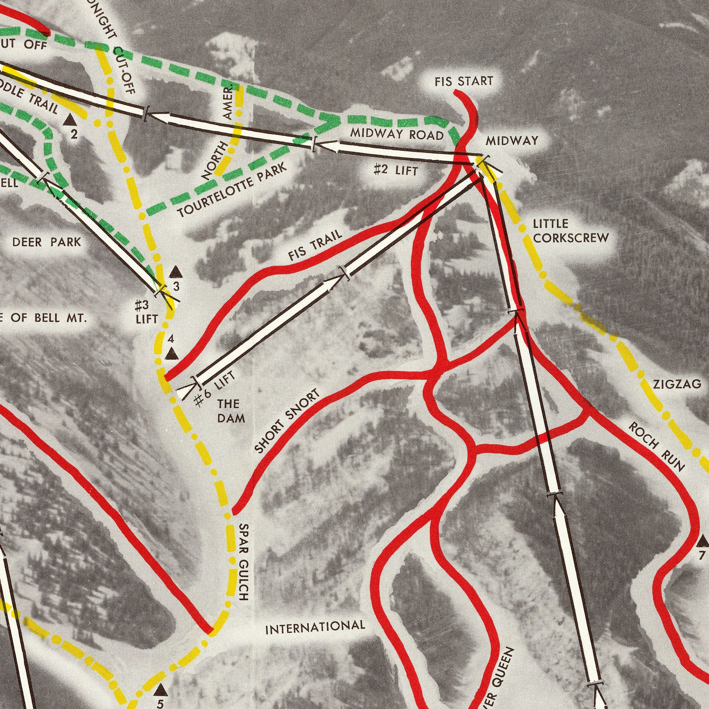
Aspen Mountain Ski Trails c. 1960s - Ajax Trail Map
Sale priceFrom $34.00
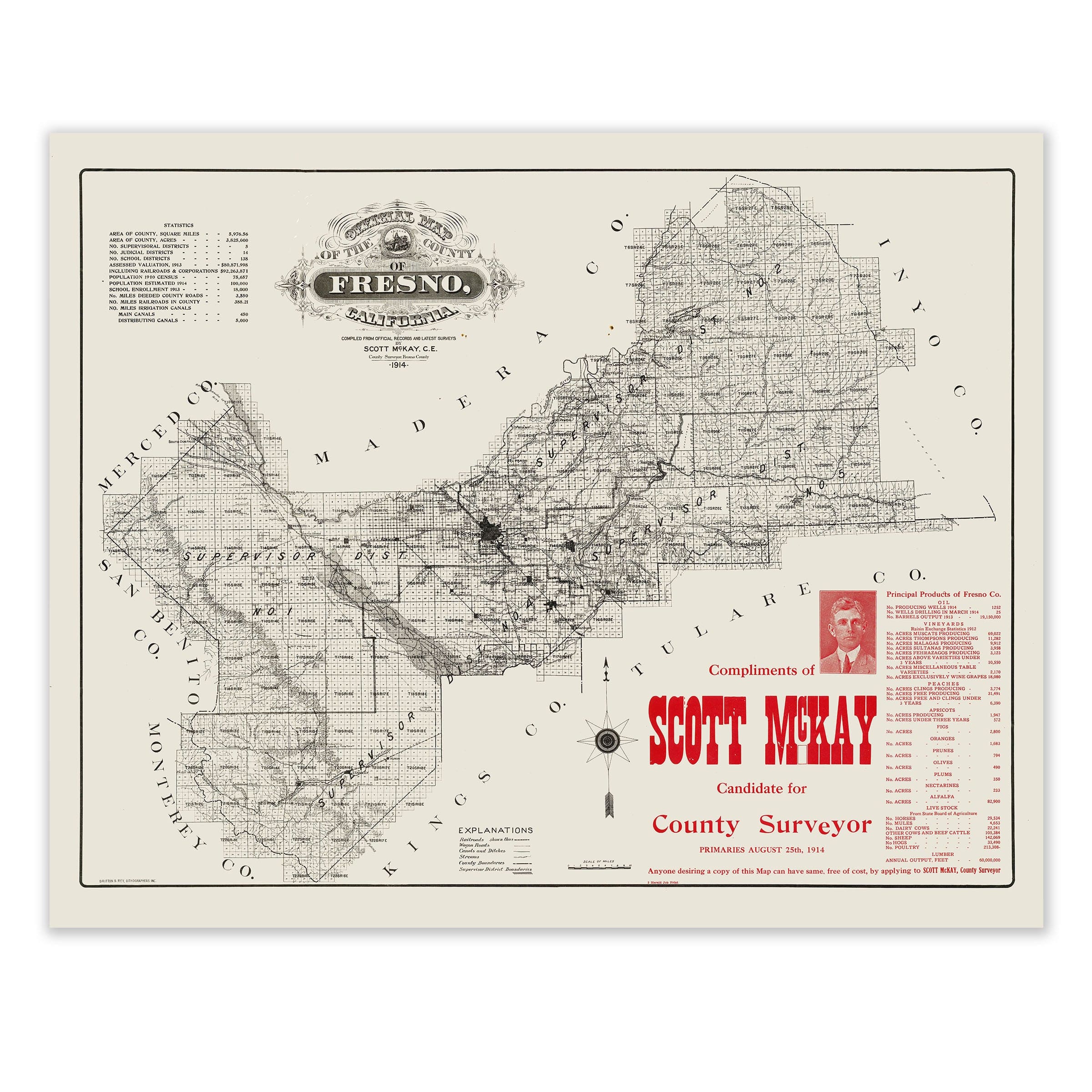
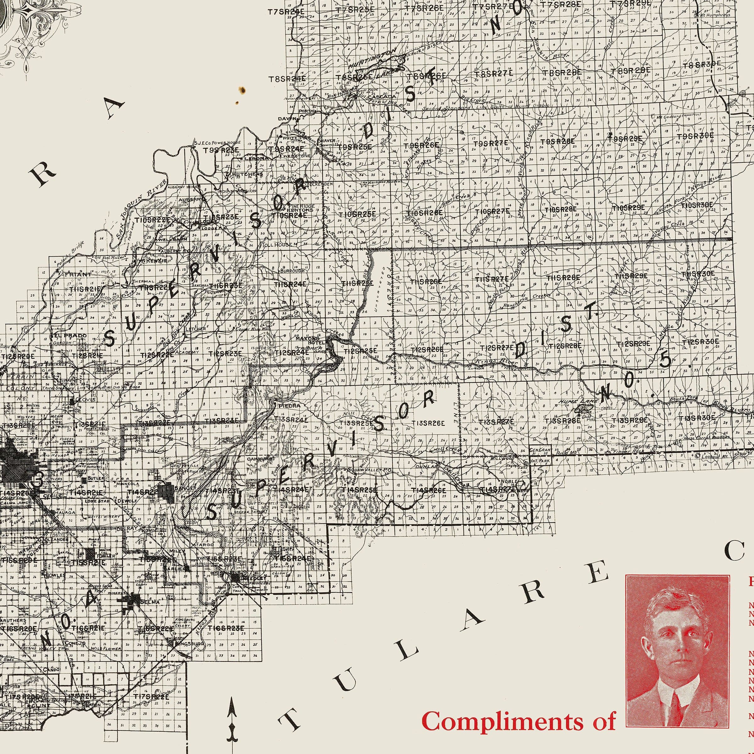
Fresno County, California Map 1914 - Agricultural Survey
Sale priceFrom $34.00
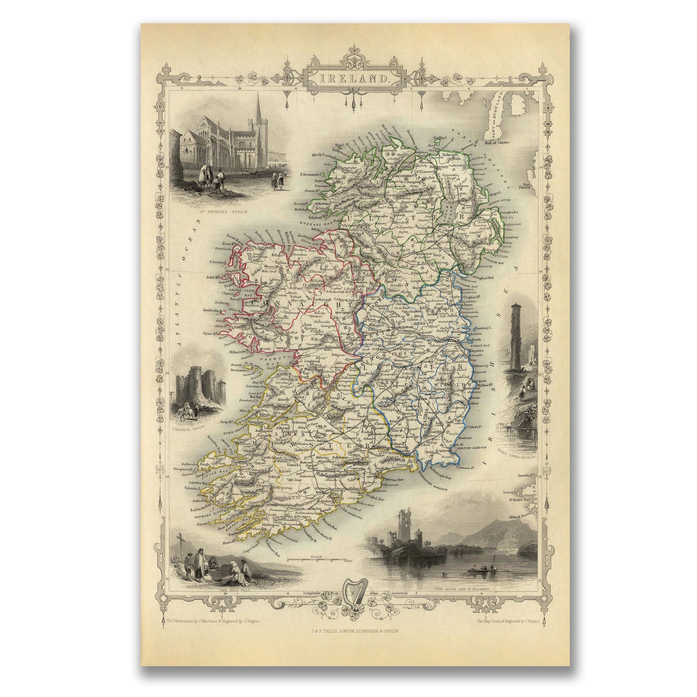
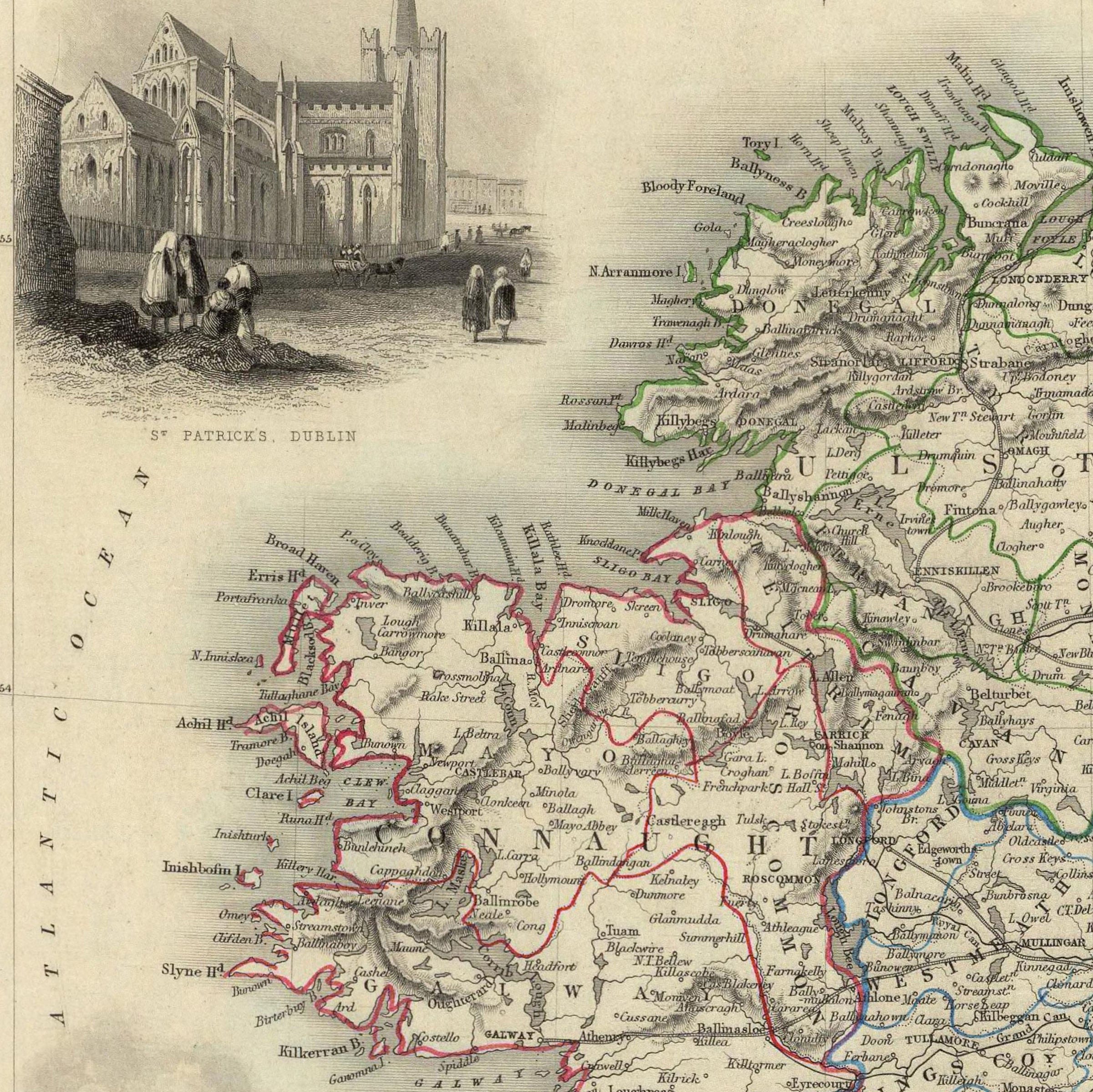
Vintage Ireland Map c. 1840s - J. & F. Tallis Illustrated
Sale priceFrom $34.00
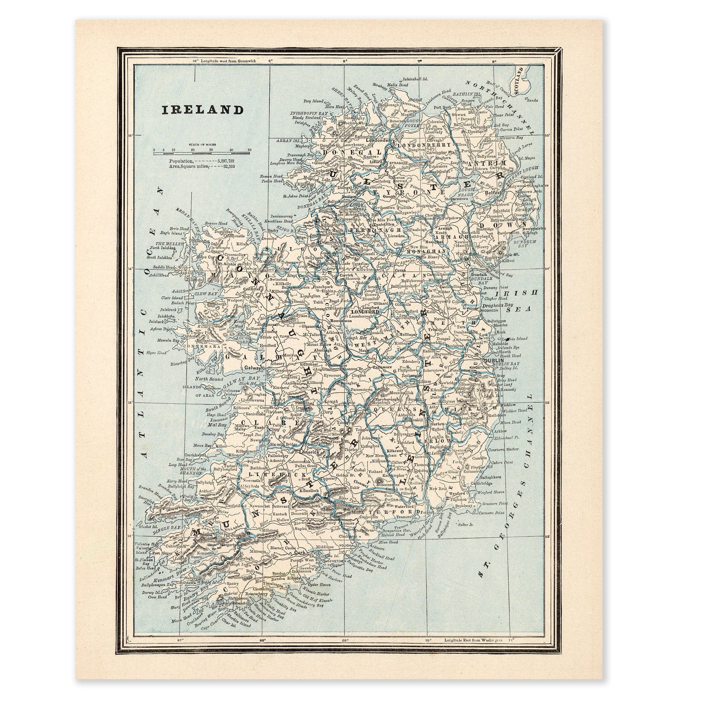

Vintage Ireland Map c. 1900 - Turn of Century Survey
Sale priceFrom $34.00
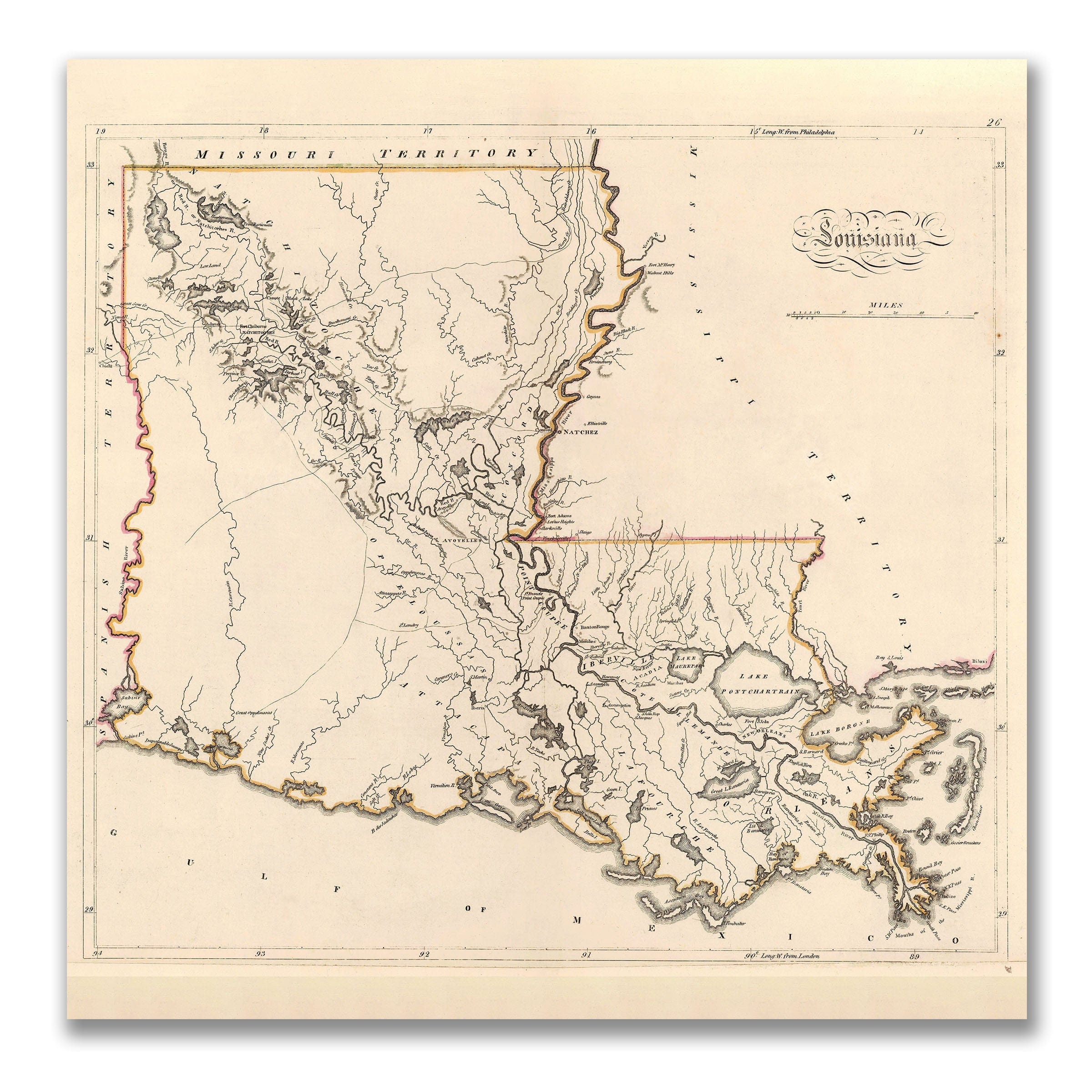
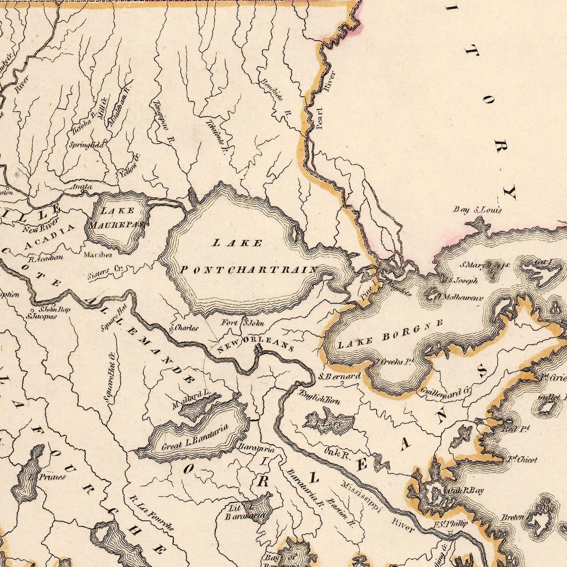
Vintage Louisiana Map 1816 - John Cary Early Statehood
Sale priceFrom $34.00
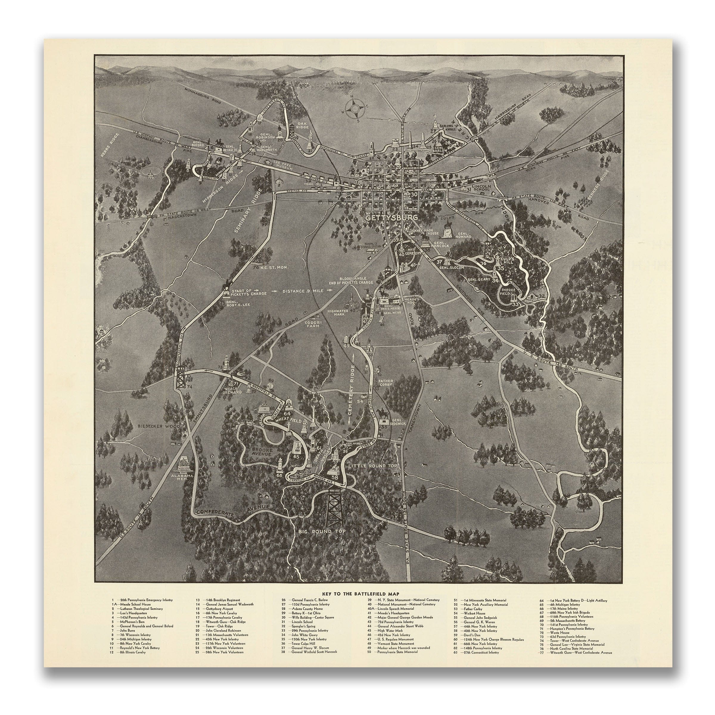
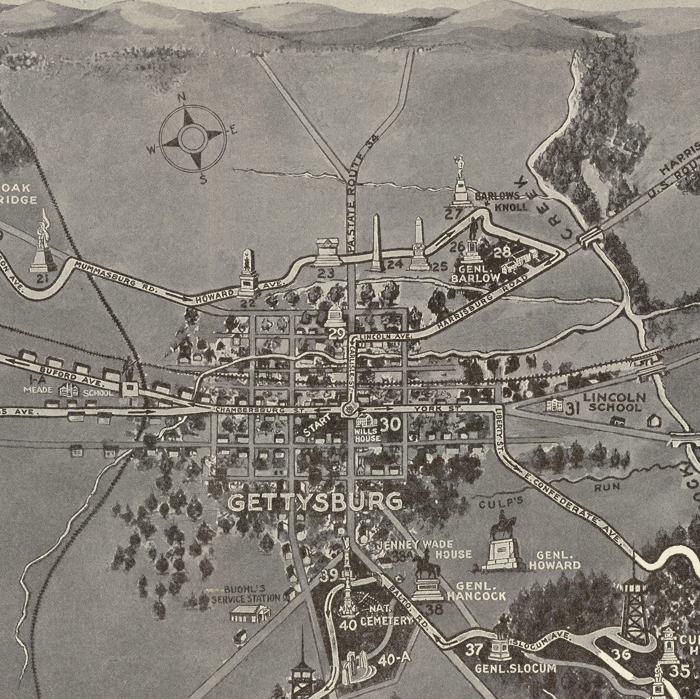
Map of the Battlefield of Gettysburg c. 1890 - Memorial Association
Sale priceFrom $34.00

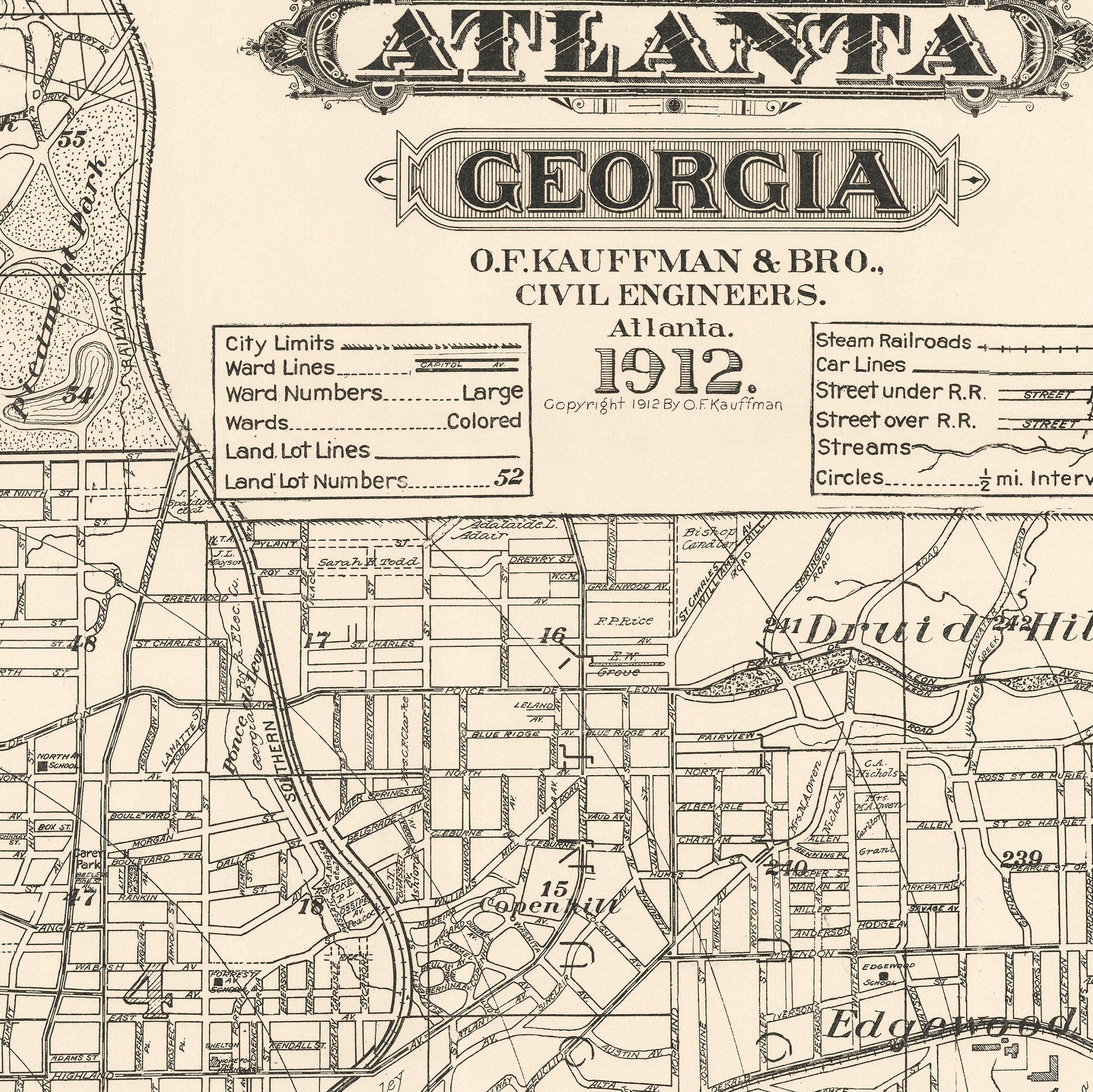
Map of the City of Atlanta, Georgia 1912 - Kauffman Survey
Sale priceFrom $34.00
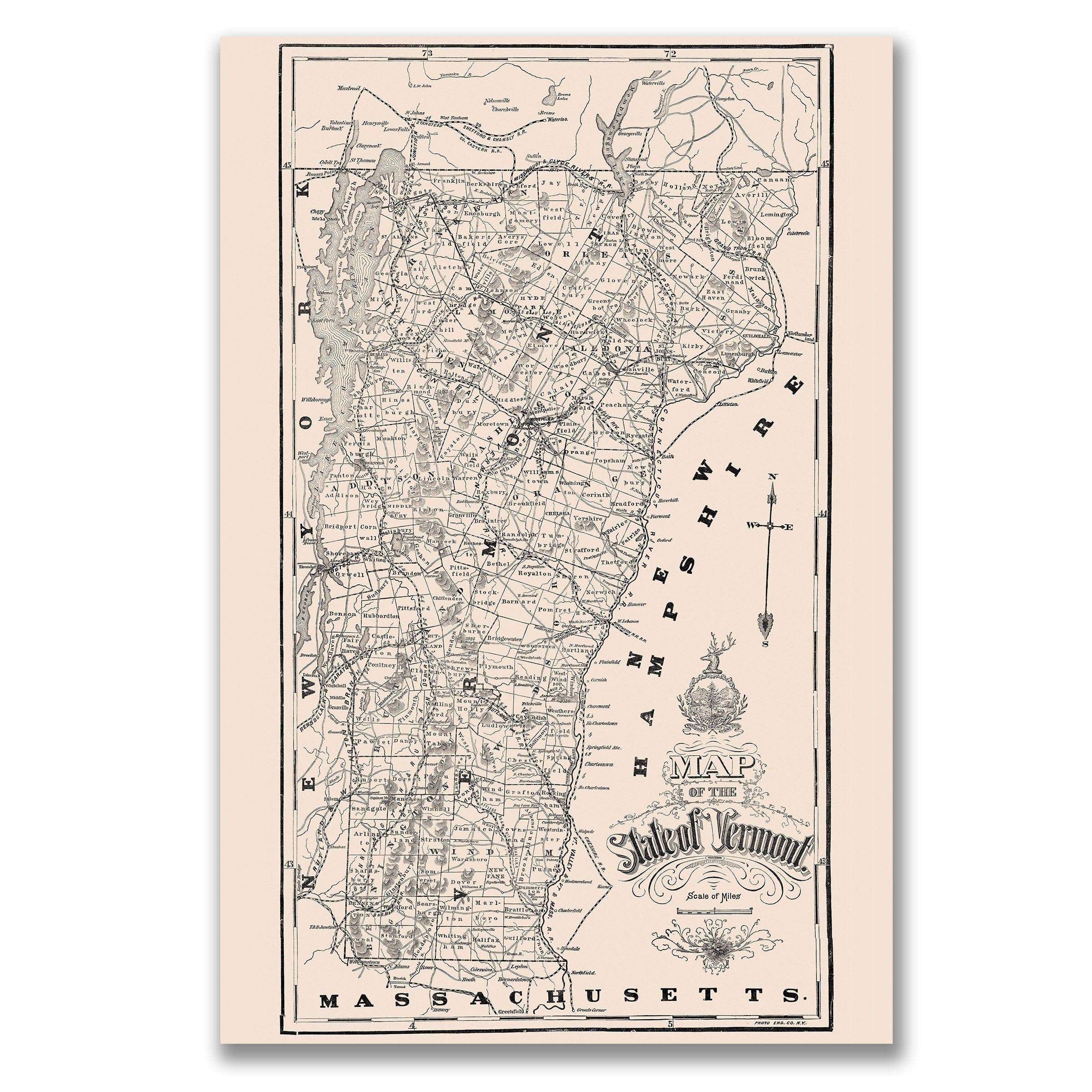
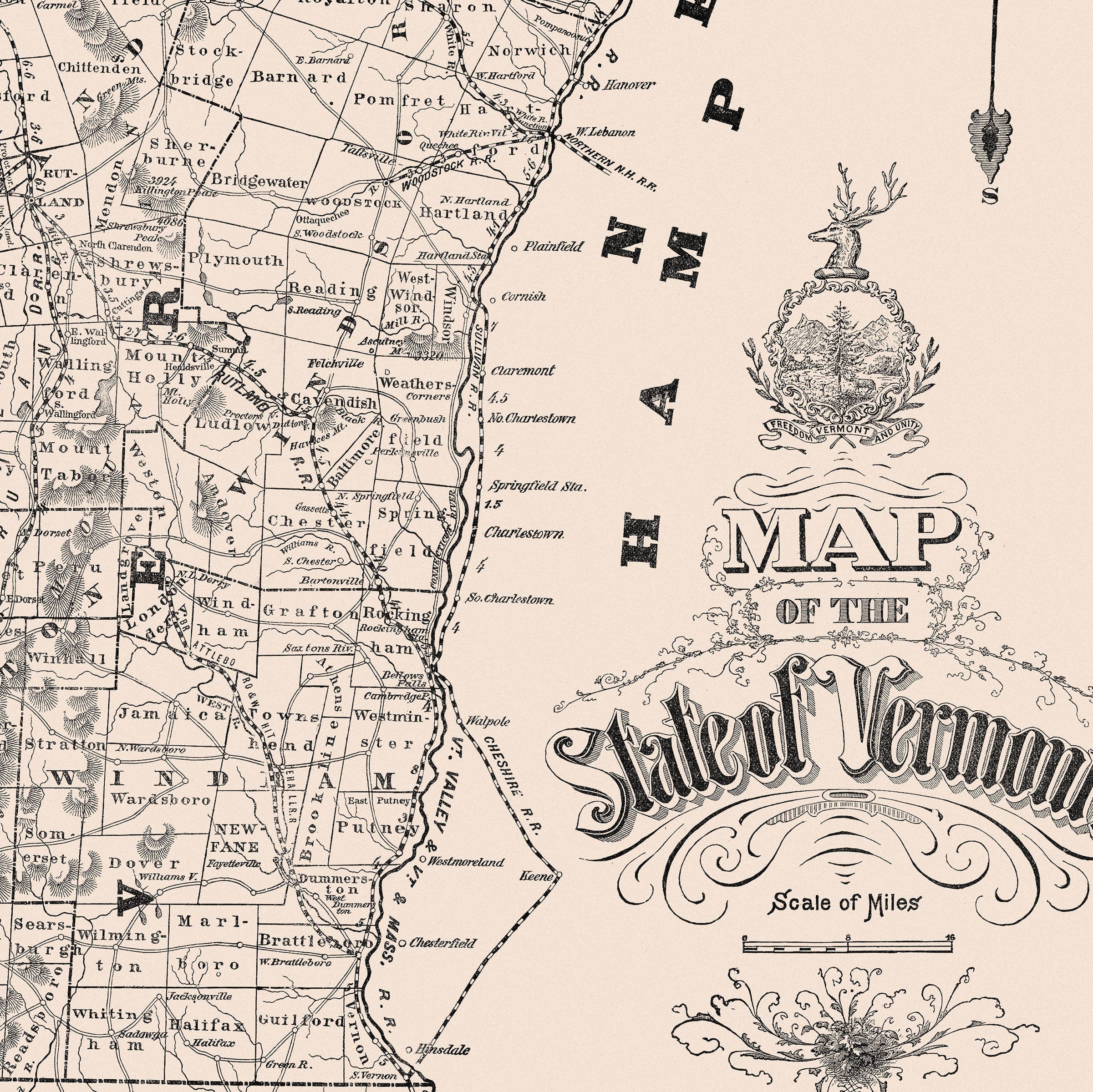
Vintage State of Vermont Map 1890 - Photo Engraving Co.
Sale priceFrom $34.00
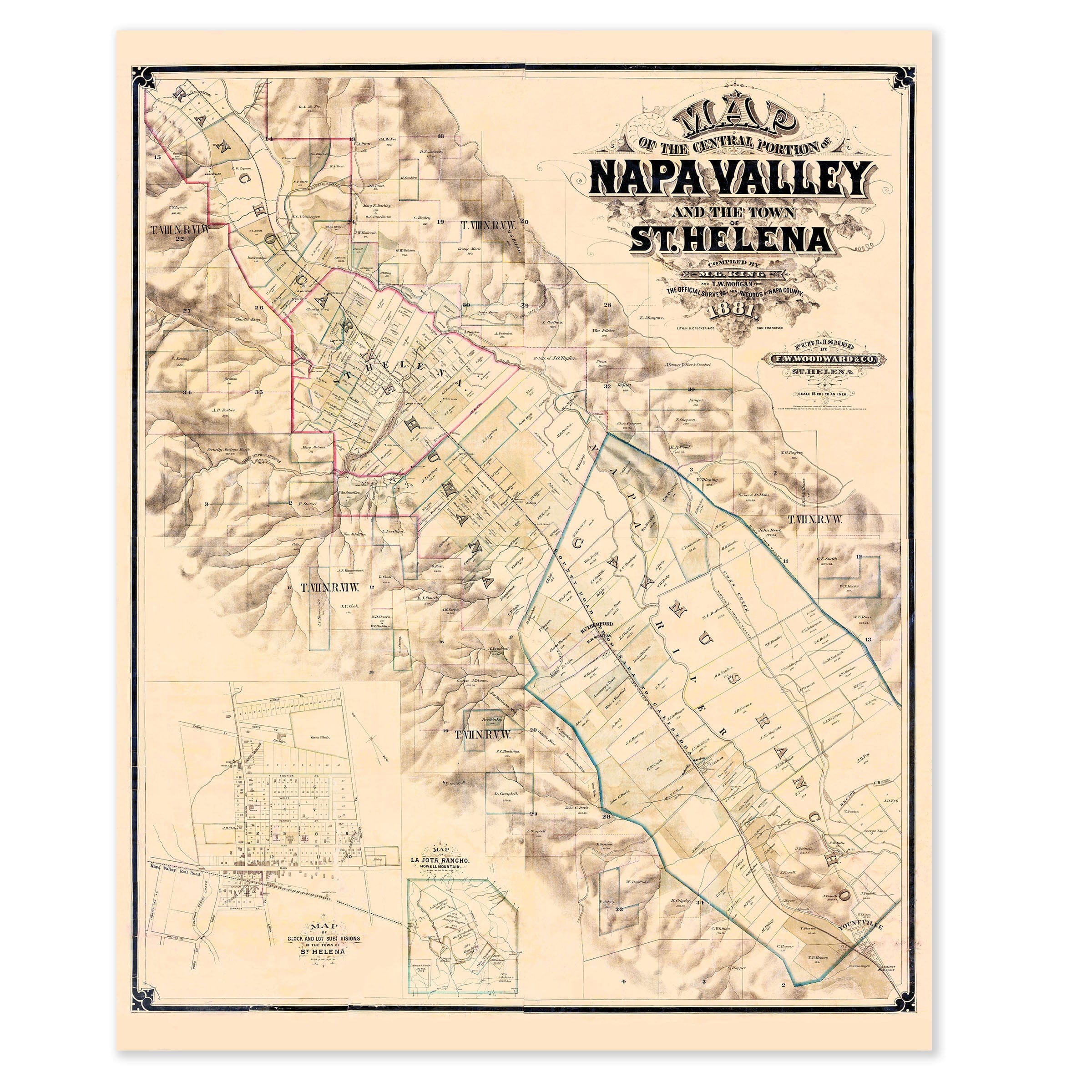
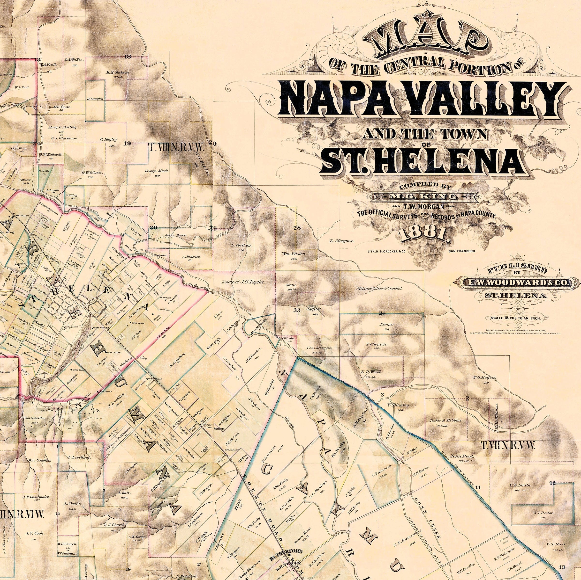
Vintage Napa Valley, California Map 1881 - W. F. Jackson Survey
Sale priceFrom $34.00
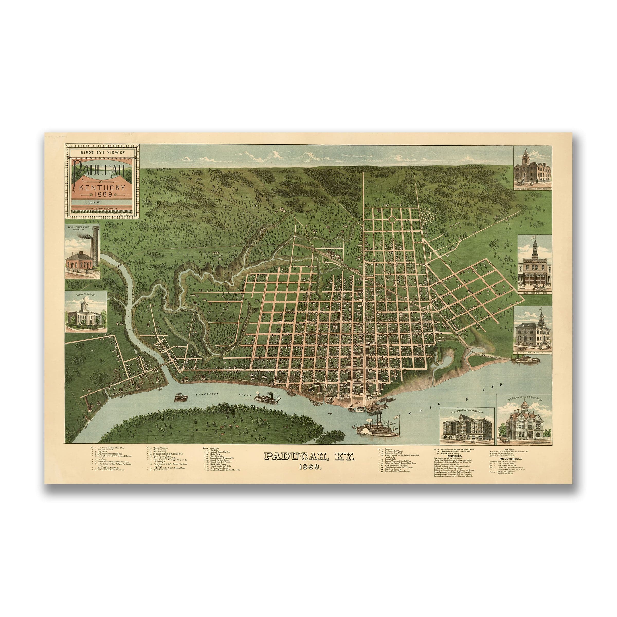
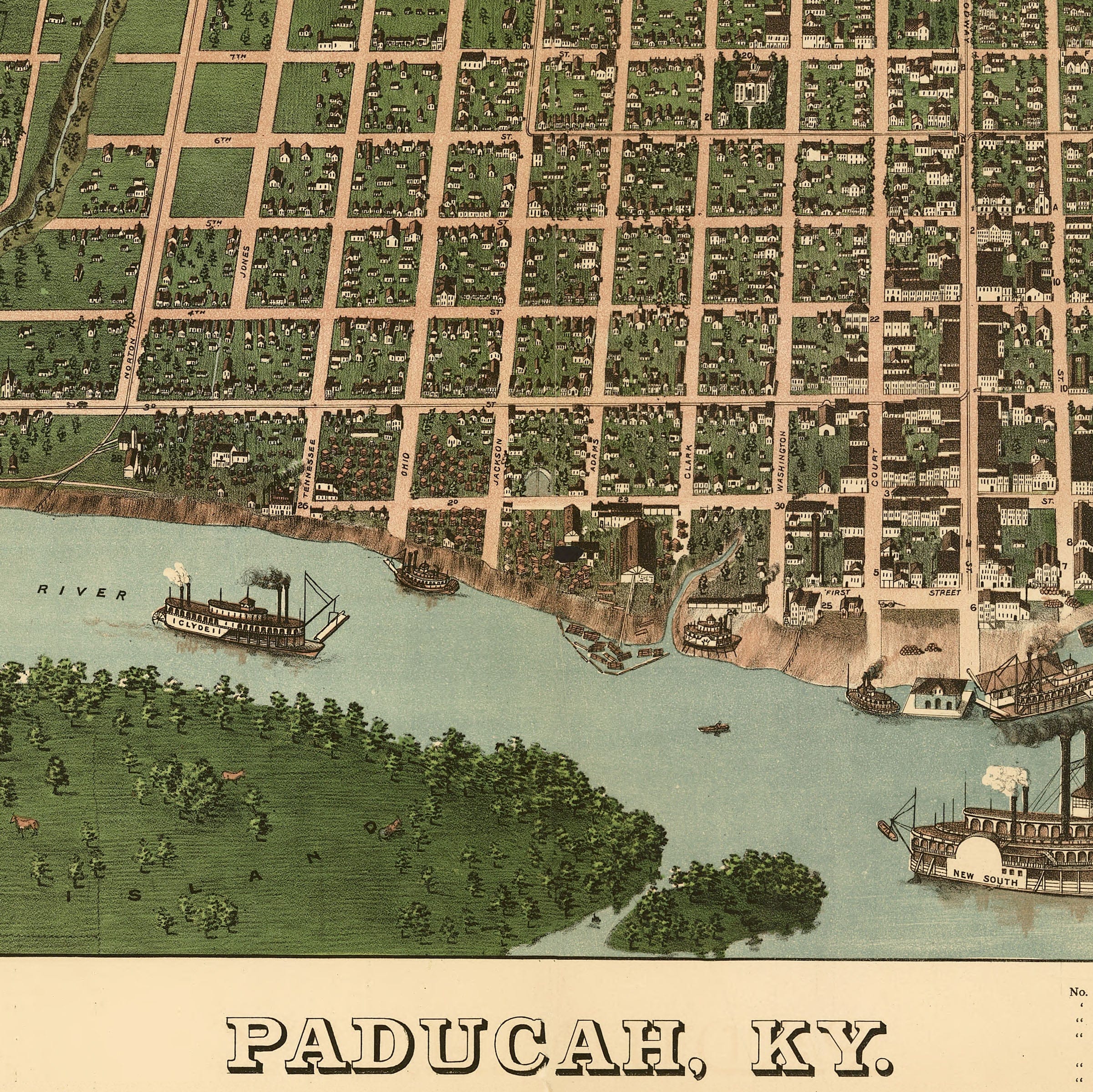
Paducah, Kentucky Vintage Map 1889 - Bird's Eye View
Sale priceFrom $34.00
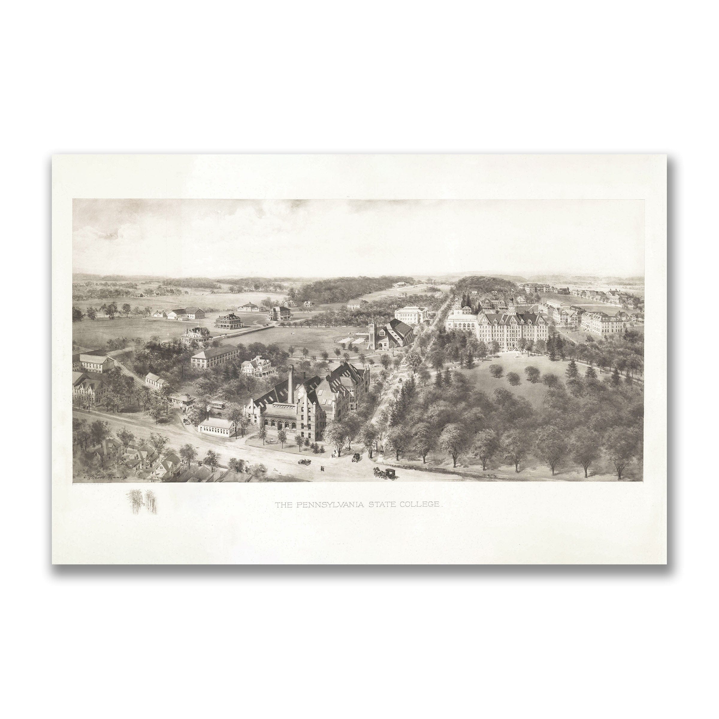
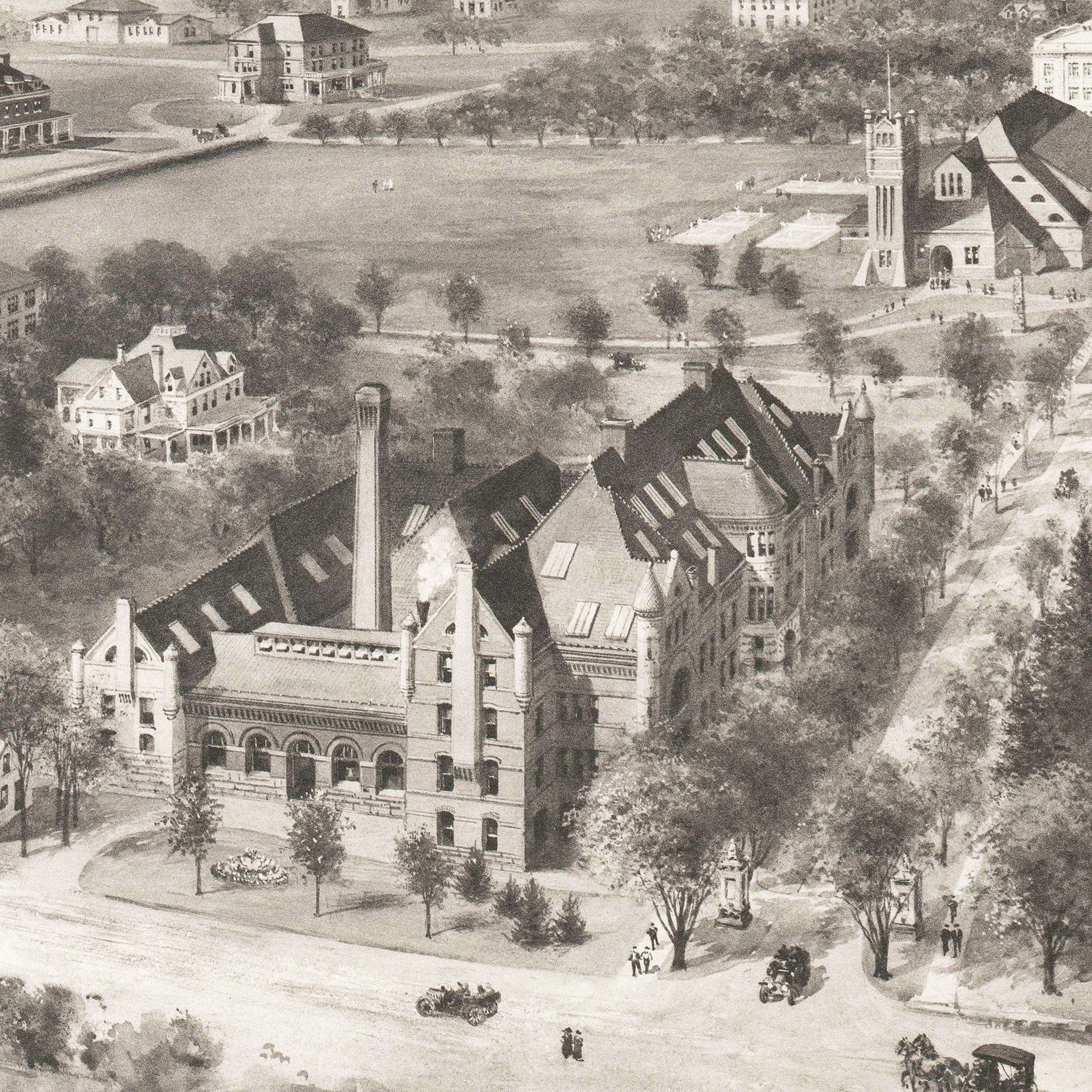
Pennsylvania State College Vintage Map 1910 - Campus Bird's Eye View
Sale priceFrom $34.00
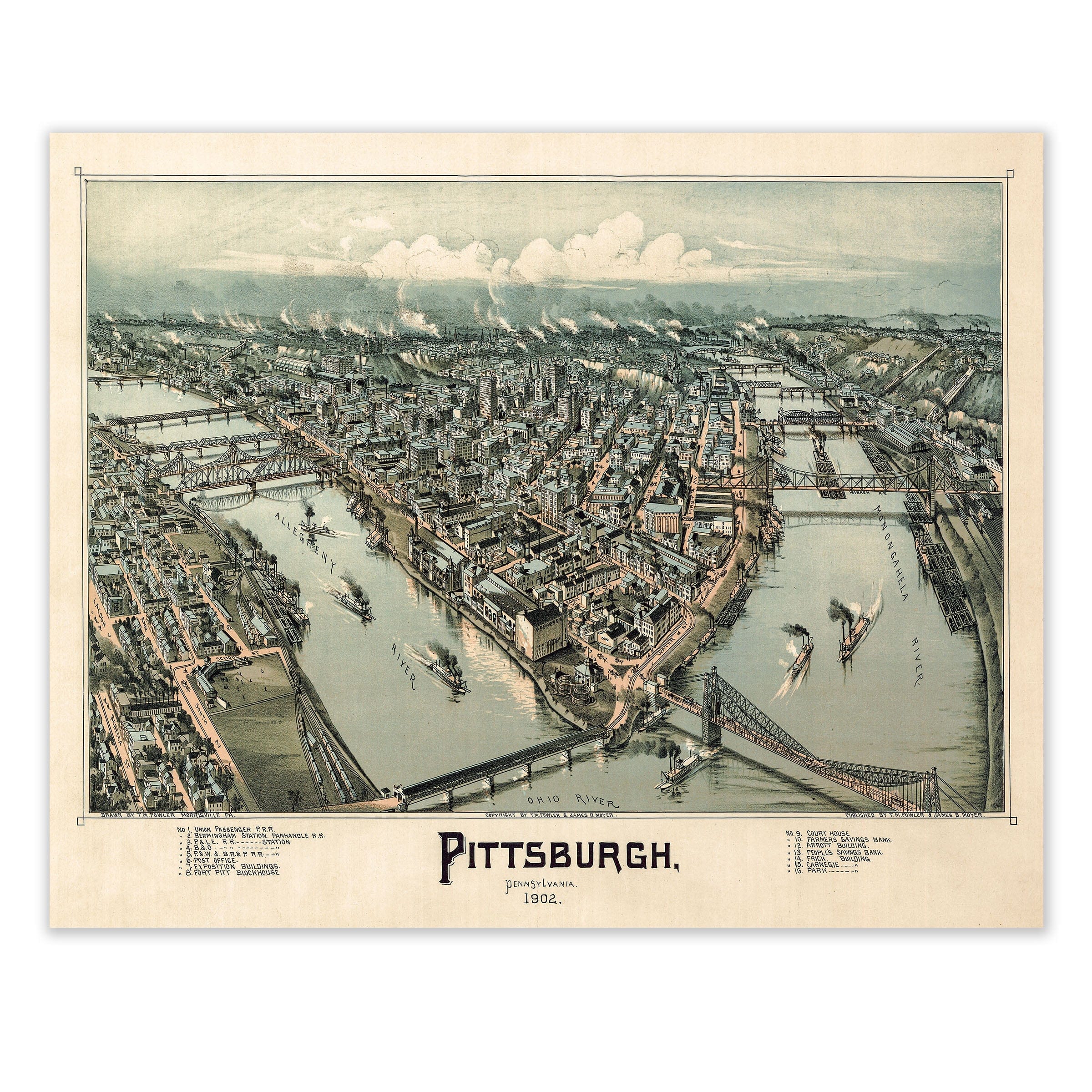
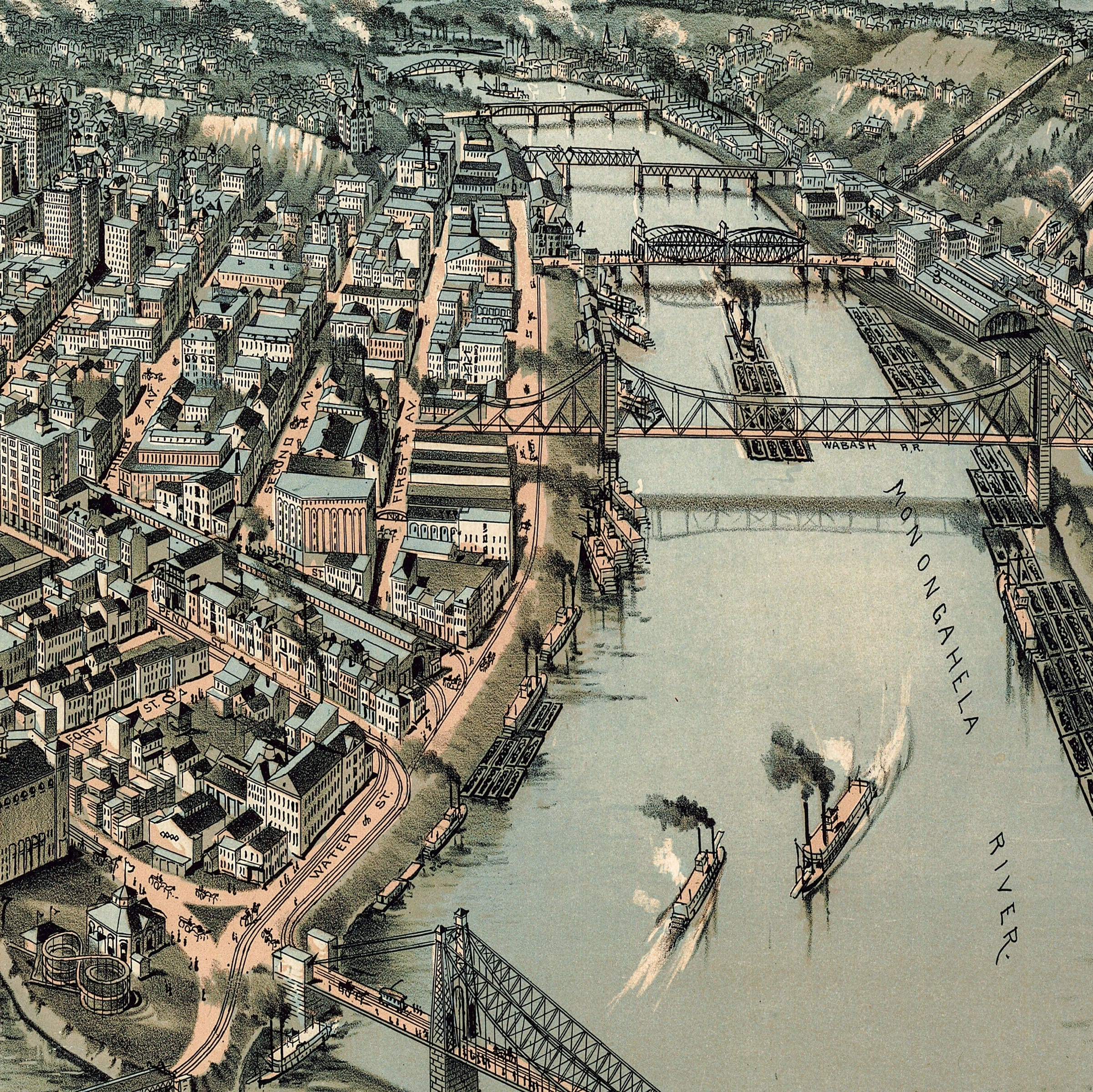
Pittsburgh, Pennsylvania Vintage Map 1902 - Steel City Survey
Sale priceFrom $34.00
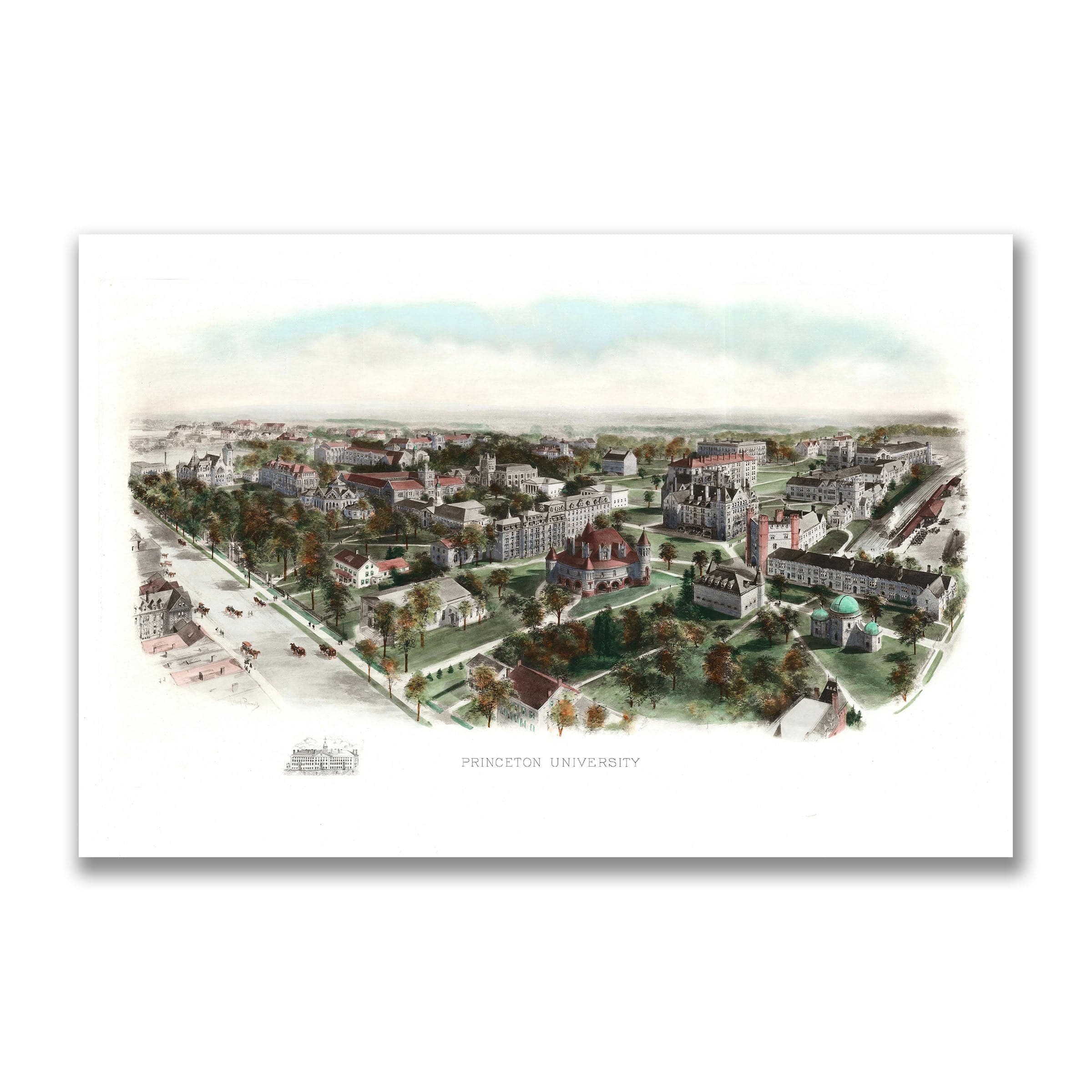
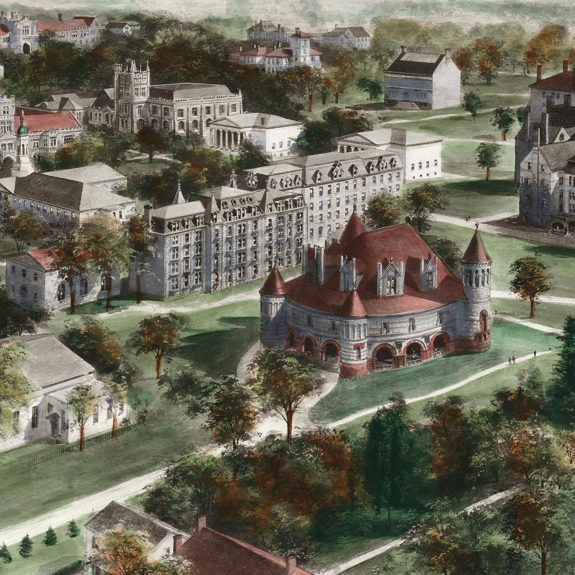
Princeton University, New Jersey Map 1906 - Campus Bird's Eye View
Sale priceFrom $34.00